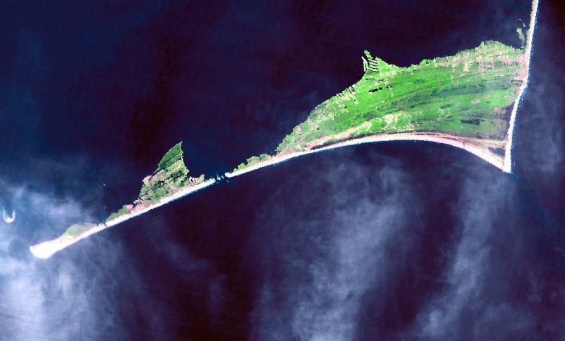
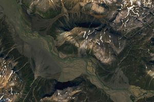
The Atlantic’s powerful waters gouged a new inlet across Hatteras Island in North Carolina’s Outer Banks on September 18, 2003 when Hurricane Isabel came ashore. The top image, taken by the Landsat 5 satellite on September 26, 2003, shows how the storm split Hatteras Island into two. The bottom image, taken on October 25, 1999, shows the southern tip of Hatteras Island before Isabel wrought her damage. The inlet cut across Highway 12 near a section of Cape Hatteras National Seashore Park, to the right of the break in the top image. The park houses the famous Cape Hatteras Lighthouse. Cape Hatteras Village to the south of the break on the green pointed section of land (left) is now isolated from the rest of the island.
The high-resolution image provided above shows a broader view of Hatteras Island on September 26, 2003.
References & Resources
Images courtesy the Landsat Project Science Office at NASA GSFC, Landsat 5 data courtesy USGS EDC