






















Suggested Searches

1 min read

Hurricane Juan

Instruments:
2003-09-26 00:00:00
September 26, 2003

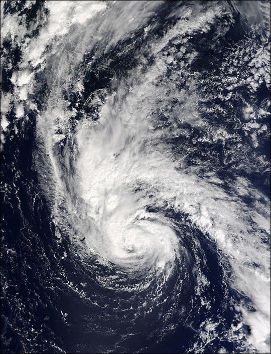
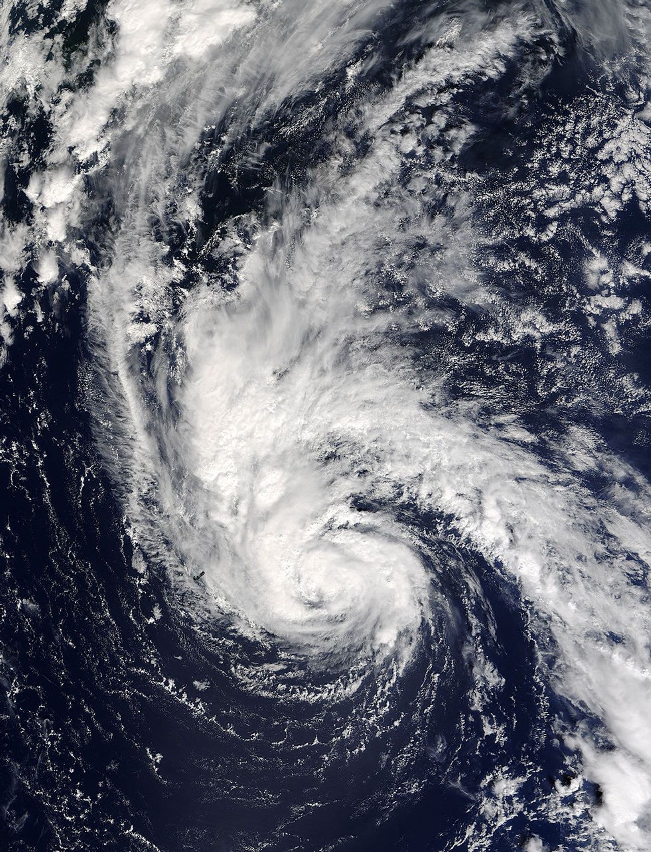
The ModerateResolution Imaging Spectroradiometer (MODIS) on NASA’s Terrasatellite captured this image of Hurricane Juan just moments after it wasdeclared the fifth hurricane of the season on September 26, 2003. At thetime, Juan was about 160 miles east of Bermuda, and moving north at 8 milesper hour. Though Bermuda was affected by the storm, it escaped the worst ofthe hurricane’s 75 mile-per-hour winds.

References & Resources

Image courtesy Jacques Descloitres, MODIS Land Rapid Response Team at NASA GSFC.
You may also be interested in:

Stay up-to-date with the latest content from NASA as we explore the universe and discover more about our home planet.

Powerful Storms Continue to Prowl the Pacific
4 min read

Hurricanes Polo and Nolo sent destructive effects ashore amid an active season in the northeastern and central Pacific.

Article
Tropical Storm Arthur
2 min read

The first named storm of the 2026 Atlantic hurricane season brought intense rainfall and the threat of flash flooding to…

Article
Explosive Intensification for Hurricane Polo
5 min read

Several ingredients came together off the Pacific coast of Mexico to generate one of the strongest storms the eastern Pacific…

Article





