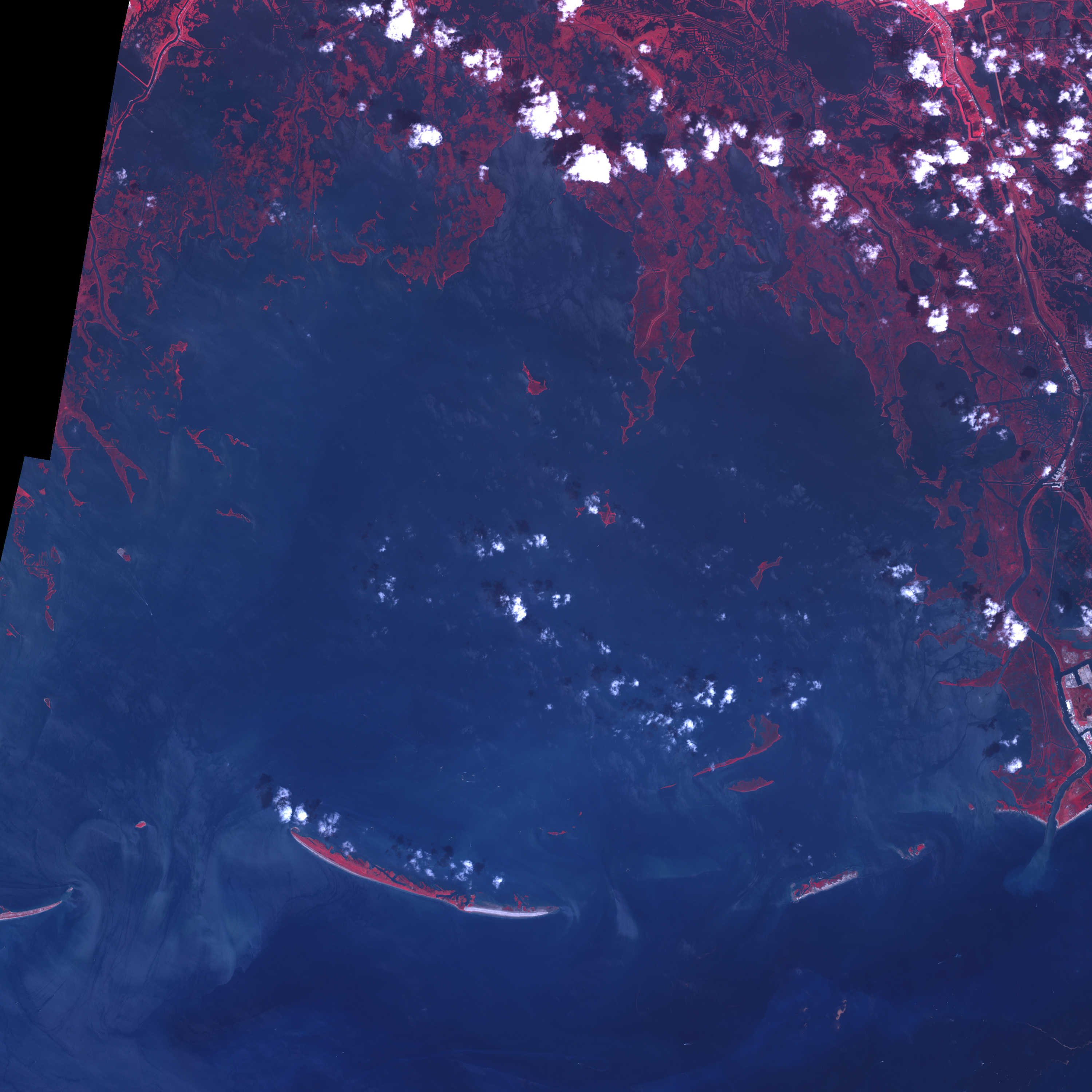



















- September 13, 2005 (2.2 MB)
- September 17, 2000 (2.8 MB)
Gulf Coast cities weren’t the only land surfaces to take a beatingfrom Hurricane Katrina in August 2005. Barrier islands stretching fromTexas to Florida were also scoured by the wind and waves of the powerfulstorm. Permanent changes to the shape and elevation of Timbalier Islandand its northeastern companions are visible in this pair ofinfrared-enhanced images from the Advanced Spaceborne Thermal Emissionand Reflection Radiometer (ASTER) on NASA’s Terra satellite.
Timbalier Island, the largest island pictured here, sits at theinterface between the Gulf of Mexico (south) and Terrebonne Bay (north)along the Louisiana coast southwest of New Orleans. Compared to theimage from 2000 (bottom), a large swath of bright sand dominates theeastern side of Timbalier Island in the September 13 image, havingeither been piled there or exposed by waves and storm surge. To theeast-northeast, two small, curving islands have disappeared completely,while farther north, the fierce seas turned two small slots in a barrierisland into a single large gap.
References & Resources
NASA images courtesy Jesse Allen, Earth Observatory, using data obtained courtesy of the NASA/GSFC/METI/ERSDAC/JAROS, and U.S./Japan ASTER Science Team