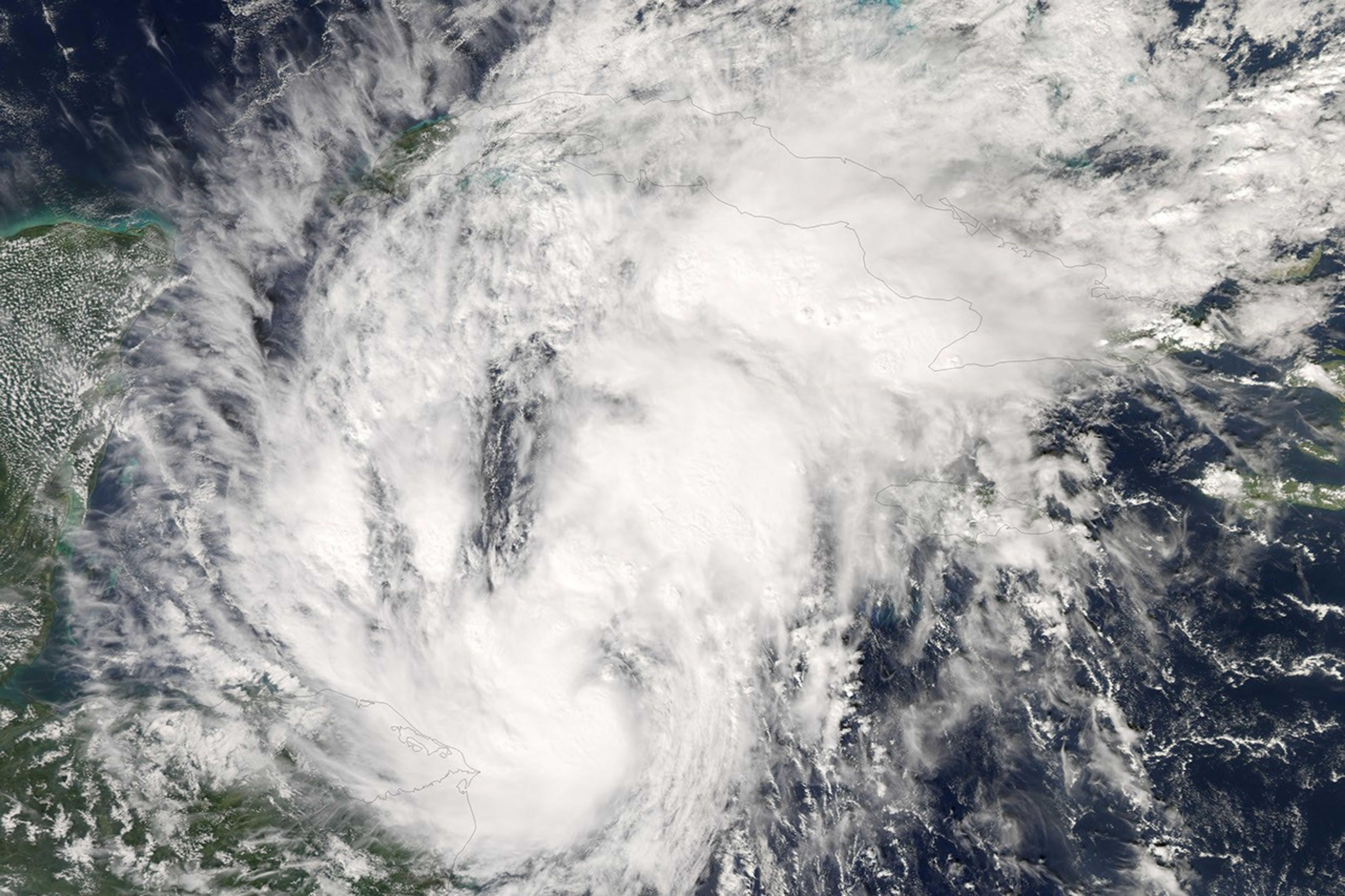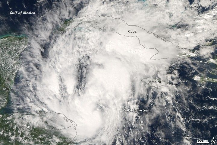
A late-season storm, Paloma developed as a tropical depression in the Caribbean Sea off the coast of Honduras and Nicaragua on November 5, 2008. By the end of the following day, the storm had become a Category 1 hurricane, with sustained winds of 120 kilometers per hour (75 miles per hour) and stronger gusts. The National Hurricane Center forecast that the storm would probably continue to intensify into a Category 3 storm as it moved northeast towards Cuba. The storm was forecast to reach Cuba on November 9.
This image of Paloma was captured by the Moderate Resolution Imaging Spectroradiometer (MODIS) on NASA’s Aqua satellite on November 6, 2008. At the time of the image, the storm had a loosely organized appearance, with an obvious pattern of rotation, but no distinct eye.
References & Resources
NASA image created by Jesse Allen, using data provided courtesy of the MODIS Rapid Response team. Caption by Rebecca Lindsey.