


- January 8, 2008 (3.78 MB JPG)
- December 2, 2007 (3.31 MB JPG)
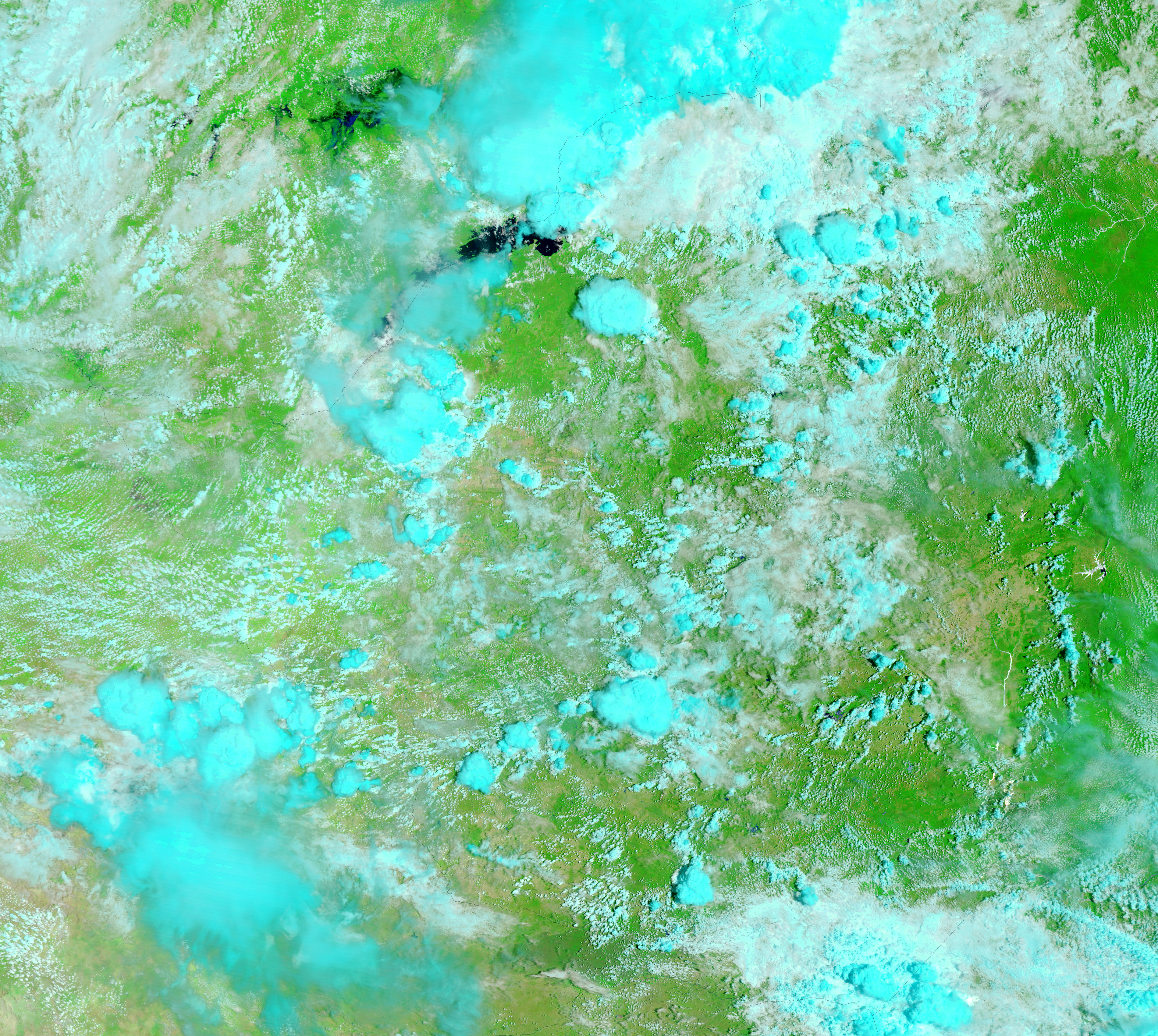
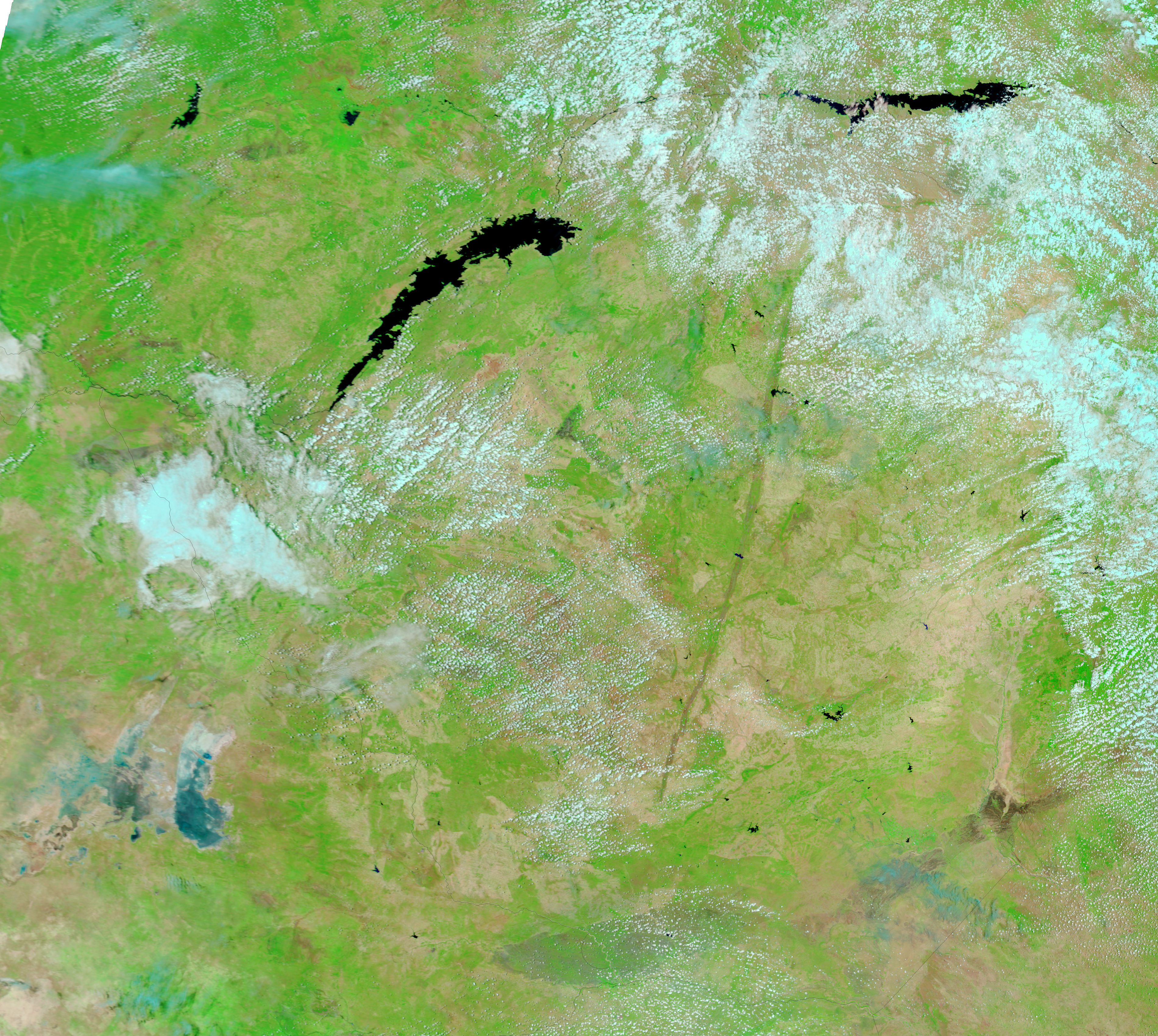
On January 8, 2008, a rare break in the rainy-season clouds provided the Moderate Resolution Imaging Spectroradiometer (MODIS) on NASA’s Terra satellite a partial view of unusually early seasonal flooding in southern Zambia. Floods often sweep across southern Africa towards the end of its rainy season in February or March, but in the 2007-2008 season, intense rains and floods came in late December and January. The top image shows floods in the Kafue River basin. Smudges of black and blue—water in this type of image—surround the river to such an extent that it is difficult to see just where the east-running river normally flows. The river is defined by a strip of bright green vegetation in the lower image, which Terra MODIS took on December 2, 2007, before the heavy rains began.
Both images were made with a combination of infrared and visible light to make water stand out. Water is black or dark blue, while the surrounding plant-covered ground is green. Bare or lightly vegetated land (most clearly seen in the lower image) is tan, and clouds are pale blue and white.
According to the Dartmouth Flood Observatory, floods in southern Zambia damaged crops and bridges and left 3,000 people homeless in the city of Mazabuka, which is under cloud near the left edge of the image. Twice-daily images of southern Zambia are available from the MODIS Rapid Response System.
References & Resources
NASA images courtesy the MODIS Rapid Response Team at NASA GSFC. Caption by Holli Riebeek.


