


high resolution land image (1.5 MB)
high resolution water image (0.6 MB)
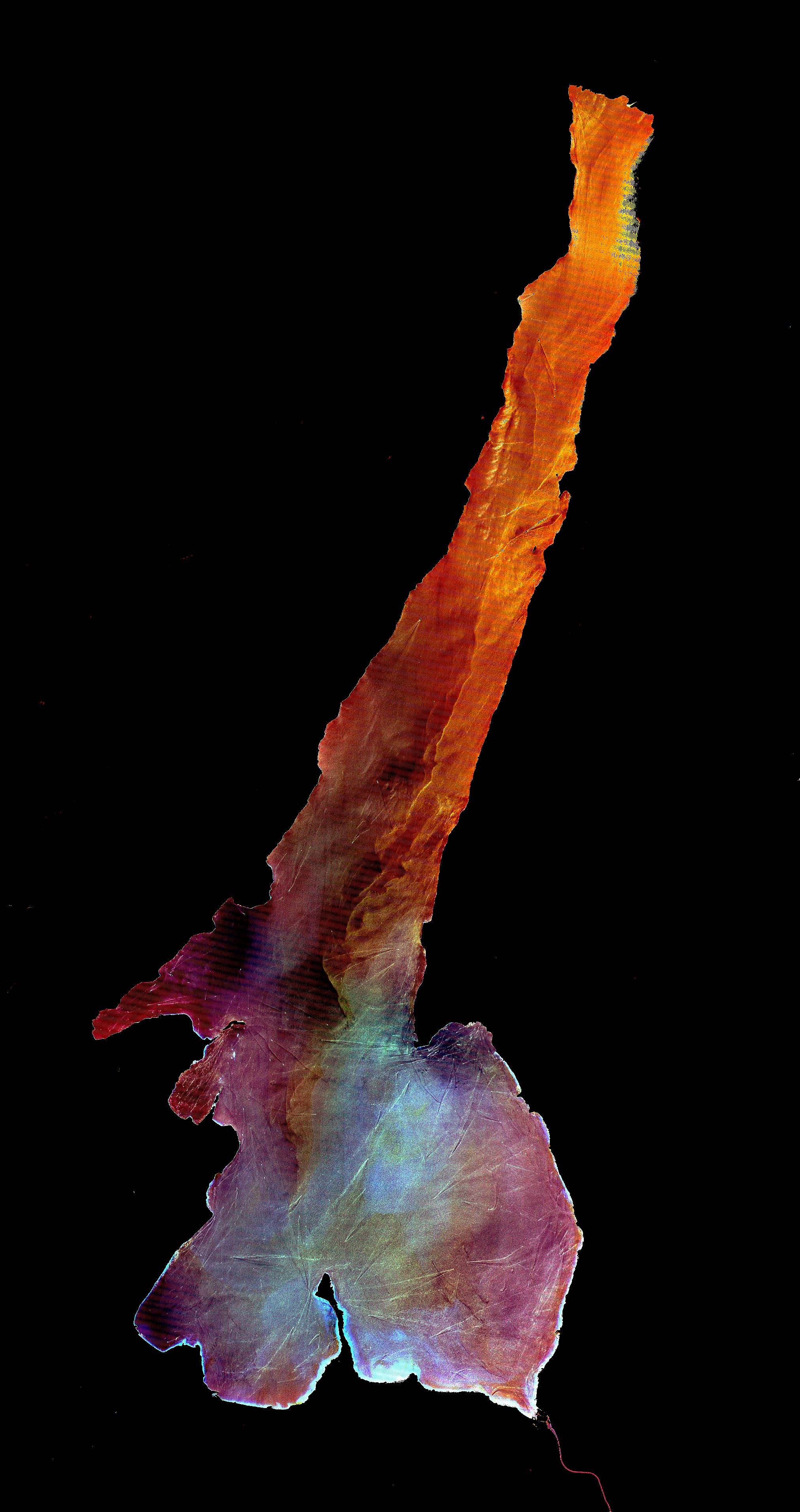
This Advanced Spaceborne Thermal Emission and Reflection Radiometer (ASTER)image was acquired on July 29, 2000 and covers an area of 30by 57 km in northern Italy. The false-color image include near infrared, red,and green wavelengths of light. Lake Garda was formed by glaciers during thelast Ice Age, and is Italy’s largest lake. Lago di Garda lies in theprovinces of Verona, Brescia, and Trento, and is 51 kilometers (32miles) long and from 3 to 18 kilometers (2 to 11 miles) wide. The Sarcais its chief affluent, and the lake is drained southward by the Mincio,which discharges into the Po River. Many villas are situated on itsshores. On the peninsula of Sirmione, at the southern end of the lake,are the ruins of a Roman villa and a castle of the Scaligers, an Italianfamily of the 16th century. The right-hand image has the land area maskedout, and a harsh contrast stretch was applied to the lake values to displayvariations in sediment load. Also visible are hundreds of boats andtheir wakes, criss-crossing the lake.
References & Resources
NASA/GSFC/MITI/ERSDAC/JAROS, and U.S./Japan ASTER Science Team
None


