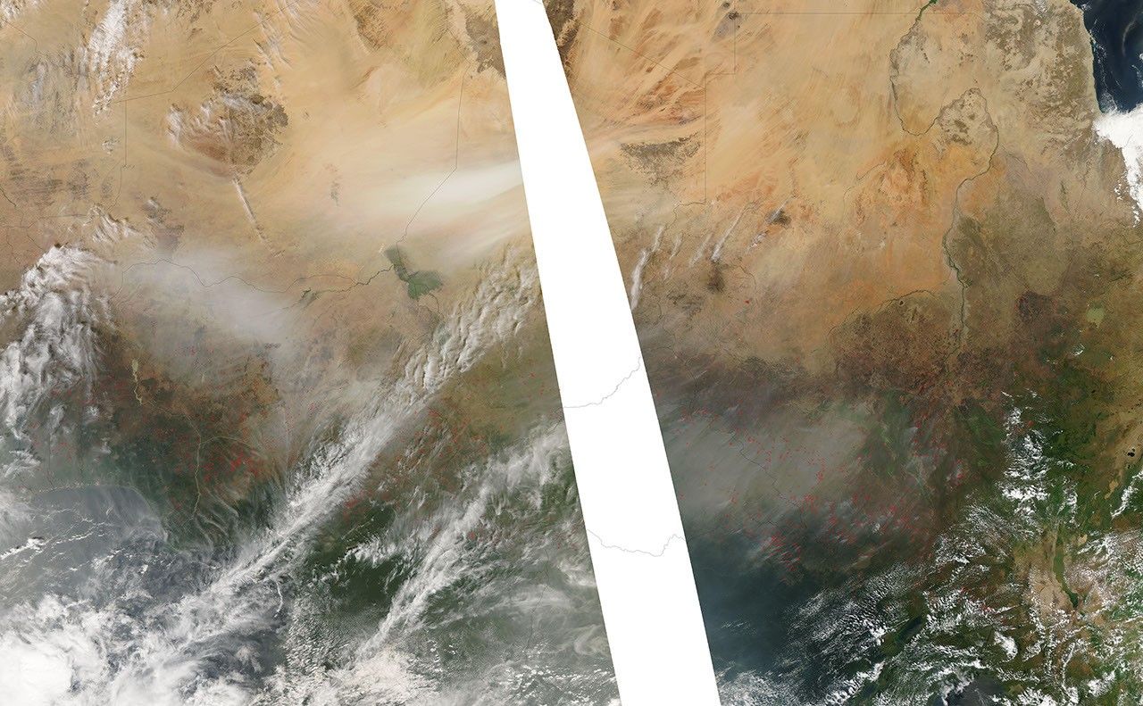
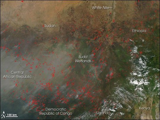
On December 11, 2006, the Moderate Resolution Imaging Spectroradiometer (MODIS) on NASA’s Aqua satellite captured this image of scores of fires burning across the eastern part of North Africa’s Sahel region (topmost part of the image) and the more humid savannas to the south. Places where MODIS detected actively burning fire are marked in red. Smoke spreads southwest, leaving a haze over southern Sudan, the Central African Republic, and the Democratic Republic of Congo. The widespread nature of the fires and the time of year indicate that most of them are being set intentionally for agricultural purposes. Though it is not necessarily immediately hazardous, such large-scale burning can have a strong impact on weather, climate, human health, and natural resources.
The large image provided above has a spatial resolution (level of detail) of 500 meters per pixel. The MODIS Rapid Response Team provides twice-daily images of North Africa in additional resolutions via a clickable map.
References & Resources
NASA image courtesy the MODIS Rapid Response Team, Goddard Space Flight Center.