Built as a monument to the favorite wife of the Mughal Emperor Shah Jahan, the Taj Mahal has watched over the city of Agra, India, since the mid-seventeenth century with its pillars of gleaming white marble. By the spring of 2007, however, one of the world’s most visited landmarks was turning yellow, and a panel of India’s parliament had little trouble identifying the culprit: pollution. The panel blamed particles of soot and dirt suspended high in the atmosphere for the Taj Mahal’s dinginess.
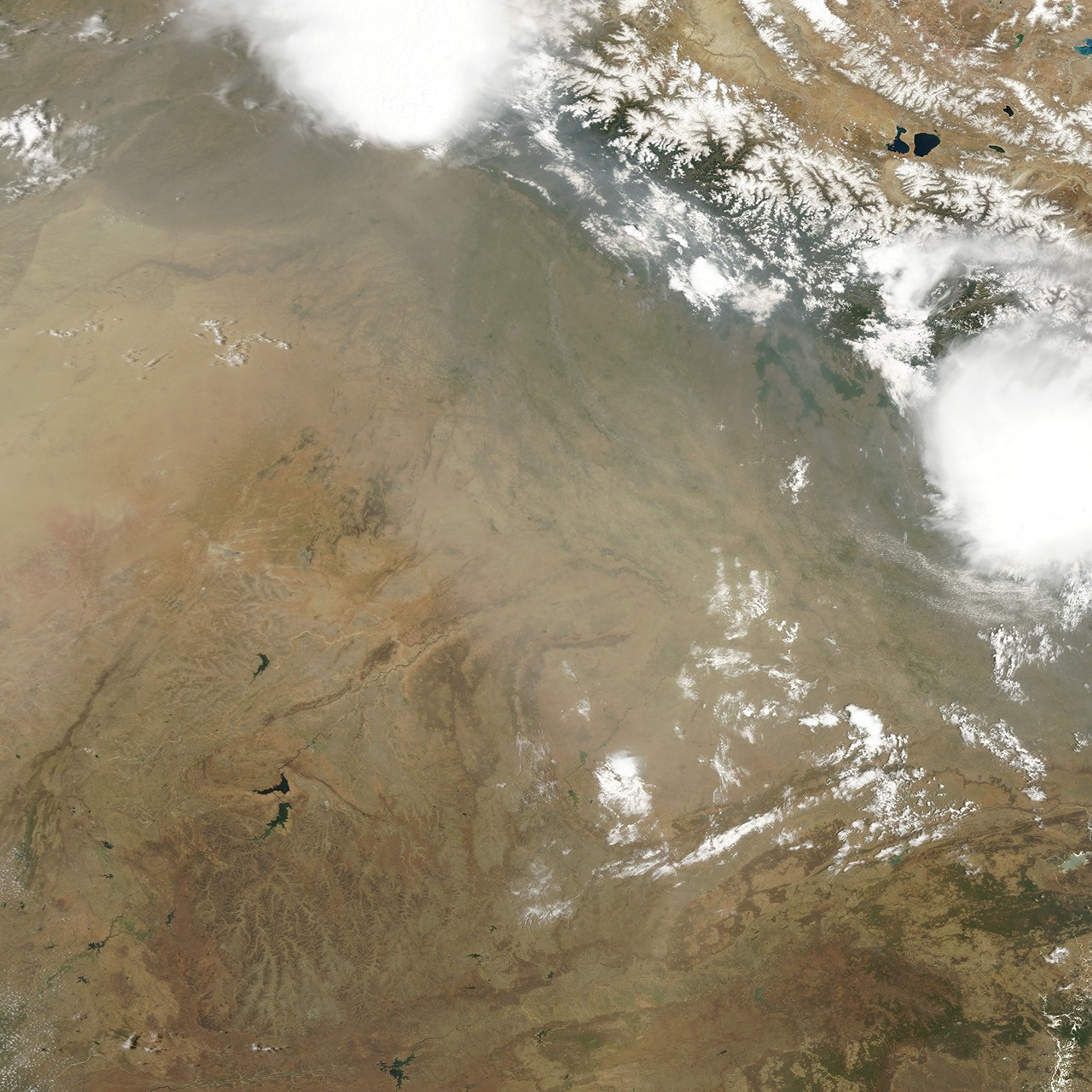
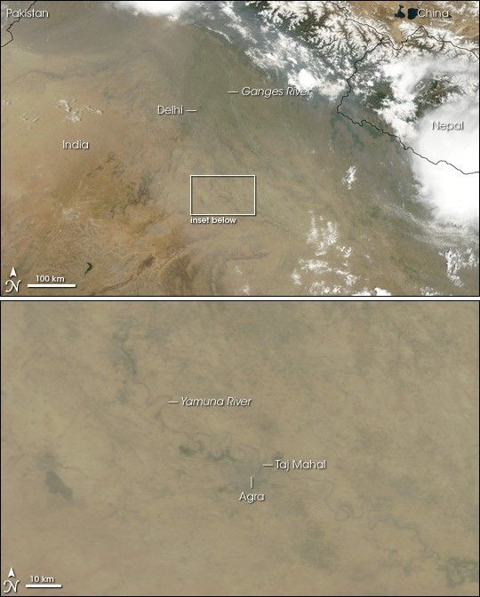
The Taj Mahal’s home, Agra, sits not far from the base of the Himalaya, and smog regularly collects along the southern side of the mountain range. On May 16, 2007, the Moderate Resolution Imaging Spectroradiometer (MODIS) on NASA’s Terra satellite captured this image of the area around Agra, India. The closeup image shows the immediate vicinity of the Taj Majal. The larger image shows the surrounding area. In both pictures, dingy, gray-beige haze obscures the satellite’s view of the land surface.
India had tried to minimize the adverse impact of air pollution on the famous landmark. According to the BBC, in the late 1990s, India’s Supreme Court ordered the closure of thousands of iron foundries and kilns that had belched smoke near the monument. Many of the 3 million tourists who visited the Taj Majal each year approached the monument on horse-drawn carriages or battery-operated buses as fossil-fuel-powered vehicles could not drive within 2 kilometers (1.5 miles). Since those efforts have failed to save the Taj Majal’s complexion, Indian officials have considered applying a cleansing mud pack to the monument’s surface to draw out the dirt.
As India industrializes, smog results, and the Taj Mahal’s gleaming whiteness is only one casualty. Pollution has been blamed for a decrease in Indian rice harvests, which had soared during the “Green Revolution” of the 1960s and 1970s. Haze and dust also appear to bring on the region’s monsoon rains earlier than normal.
You can download a 250-meter-resolution KMZ file of Northern India for use with Google Earth.
References & Resources
NASA image created by Jesse Allen, using data provided courtesy of the MODIS Rapid Response team.