Suggested Searches

1 min read

Spring Ice Chokes the Bering Strait

Instruments:
2000-05-07 00:00:00
May 7, 2000

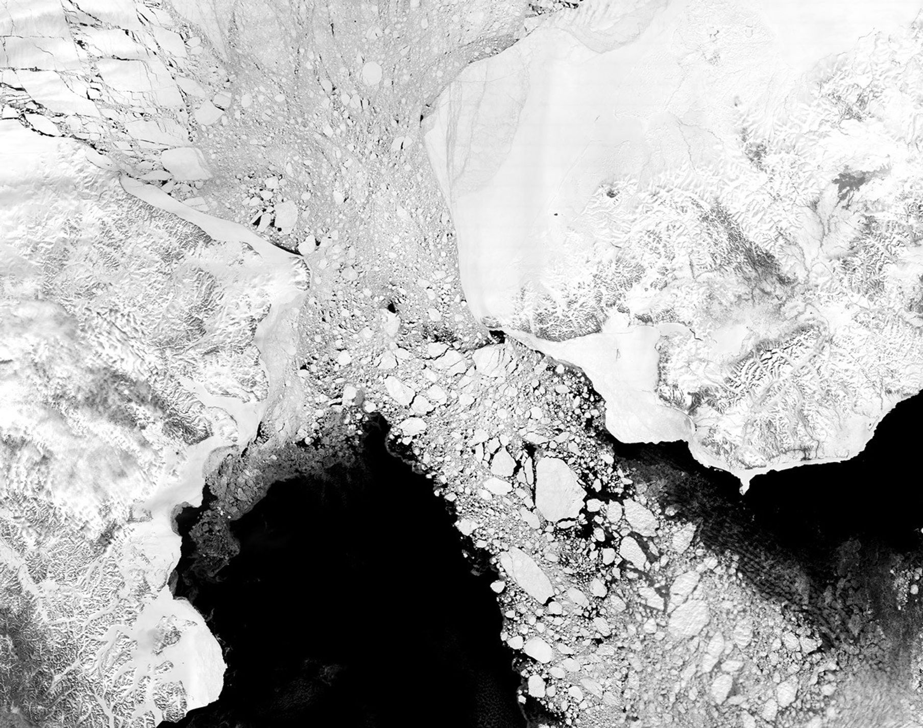
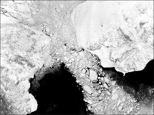
MODIS image of the Bering Sea, Bering Strait and southern Arctic Ocean acquired 7 May 2000. Image generated from MODIS band 2 (0.85 µm) at 250 m spatial resolution. Detailed structure and leads in the ice pack are apparent. Ice flow from the Bering Strait southward to the Bering Sea is seen in great detail.

References & Resources

George Riggs, NASA GSFC

You may also be interested in:

Stay up-to-date with the latest content from NASA as we explore the universe and discover more about our home planet.

Arctic Sea Ice Ties for 10th-Lowest on Record
3 min read

Satellite data show that Arctic sea ice likely reached its annual minimum extent on September 10, 2025.

Article
Antarctic Sea Ice Saw Its Third-Lowest Maximum
2 min read

Sea ice around the southernmost continent hit one of its lowest seasonal highs since the start of the satellite record.

Article
Cañon Fiord’s Whirling Waters
3 min read

During the 2022 summer melt season, sediment plumes and fractured sea ice traced swirling eddies in a branch of the…

Article