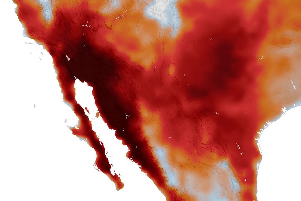
Torrential rainfall in southeast Texas and southwestern Louisiana on June 19, 2006, caused extensive flooding. The rains caused waist-high flooding in the Houston area, according to news reports. A surface and upper-level trough (a region of low atmospheric pressure) along the Texas and Louisiana coast generated heavy showers and thunderstorms. The image above shows rainfall totals based in part on measurements taken by the Tropical Rainfall Measuring Mission (TRMM) satellite from June 13-19, 2006. The highest amounts shown on the image are more than 228 millimeters (about 9 inches). The heaviest rains occurred over north-central Texas and on the Gulf Coast along the Texas-Louisiana state line. The animations provided above show the day-by-day accumulation of rain.
TRMM was launched in November 1997. The rainfall analysis above is from TRMM-calibrated precipitation estimates called Multi-satellite Precipitation Analysis (MPA). The MPA estimates were developed by the precipitation research team at NASA Goddard Space Flight Center.
References & Resources
Images and caption produced by Hal Pierce (SSAI/NASA GSFC).


