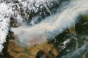

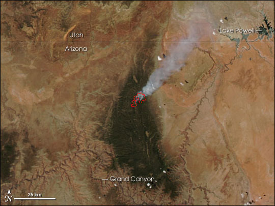
Between the Grand Canyon and the Utah-Arizona state line, the Warm Fire was billowing out thick smoke on June 19, 2006, when the Moderate Resolution Imaging Spectroradiometer (MODIS) on NASA’s Aqua satellite passed overhead and captured this image. The location where MODIS detected actively burning fire is outlined in red.
According to the June 20 report from the National Interagency Fire Center, the lightning-caused Warm Fire had burned 5,400 acres in the Kaibab National Forest, and it was threatening some residences, campgrounds, and a historic ranger station.
The high-resolution image provided above has a spatial resolution (level of detail) of 250 meters per pixel. The MODIS Rapid Response System provides this image at additional resolutions.
References & Resources
NASA image courtesy the MODIS Rapid Response Team, Goddard Space Flight Center