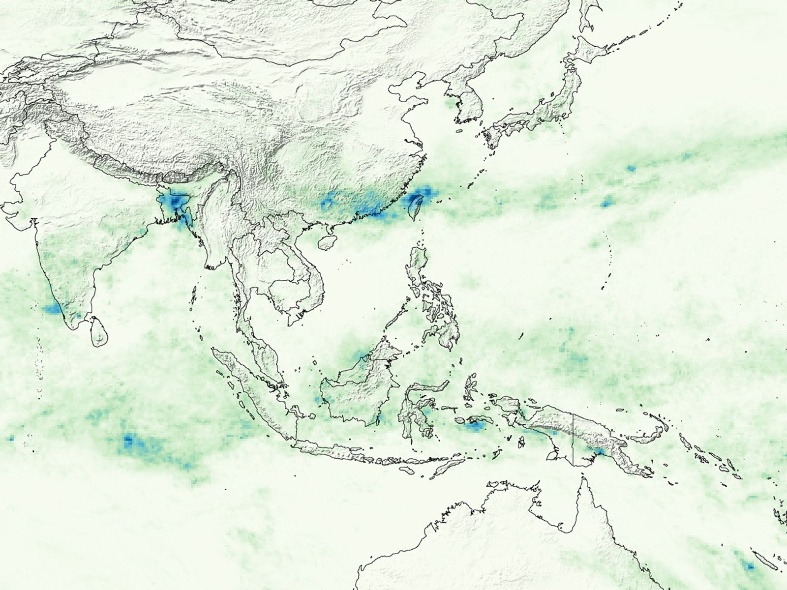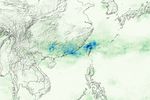

Patterns ranging from pale green to deep blue are draped over southern China, showing rainfall totals for the week of June 4 through June 11, 2007. The rainfall totals are from the Goddard Space Flight Center Multi-satellite Precipitation Analysis, which is based on rainfall measurements taken by the Tropical Rainfall Measuring Mission (TRMM) satellite. Though seasonal rains are not unexpected in the area, the rain that fell during the week was torrential and relentless. As the image shows, a broad stretch of China received up to 200 millimeters (8 inches) of rain, and some areas were inundated with up to 500 millimeters (20 inches). Floods and landslides resulted, destroying crops and forcing some 643,000 people from their homes, reported the Xinhua News Agency on ReliefWeb. As of June 11, 71 people had died and 13 were missing. The most affected area was the southern coast, where rainfall totals are highest in this image.
Heavy tropical rains combined with steep mountains make southeastern China prone to devastating landslides. Monitoring landslide-producing conditions typically requires extensive networks of ground-based rain gauges and weather instruments. But many developing countries in high-risk areas lack the resources to maintain such systems; heavy rains and flooding often wash away ground-based instruments. Robert Adler, a senior scientist in the Laboratory for Atmospheres at Goddard Space Flight Center, and Yang Hong, a research scientist at Goddard Earth Sciences Technology Center, are confronting the problem by developing a satellite-based system for predicting landslides. The system relies on TRMM data to predict when rainfall in different areas has reached a landslide-triggering threshold. The system makes data available on the Internet just a few hours after the satellite makes its observations. To read more about the landslide-monitoring system, please read the feature article Satellite Monitors Rains That Trigger Landslides.
TRMM is a joint mission between NASA and the Japanese space agency, JAXA.
References & Resources
NASA images produced by Hal Pierce (SSAI/NASA GSFC).