Suggested Searches

1 min read

Tropical Depression Larry

Instruments:
2003-10-05 00:00:00
October 5, 2003

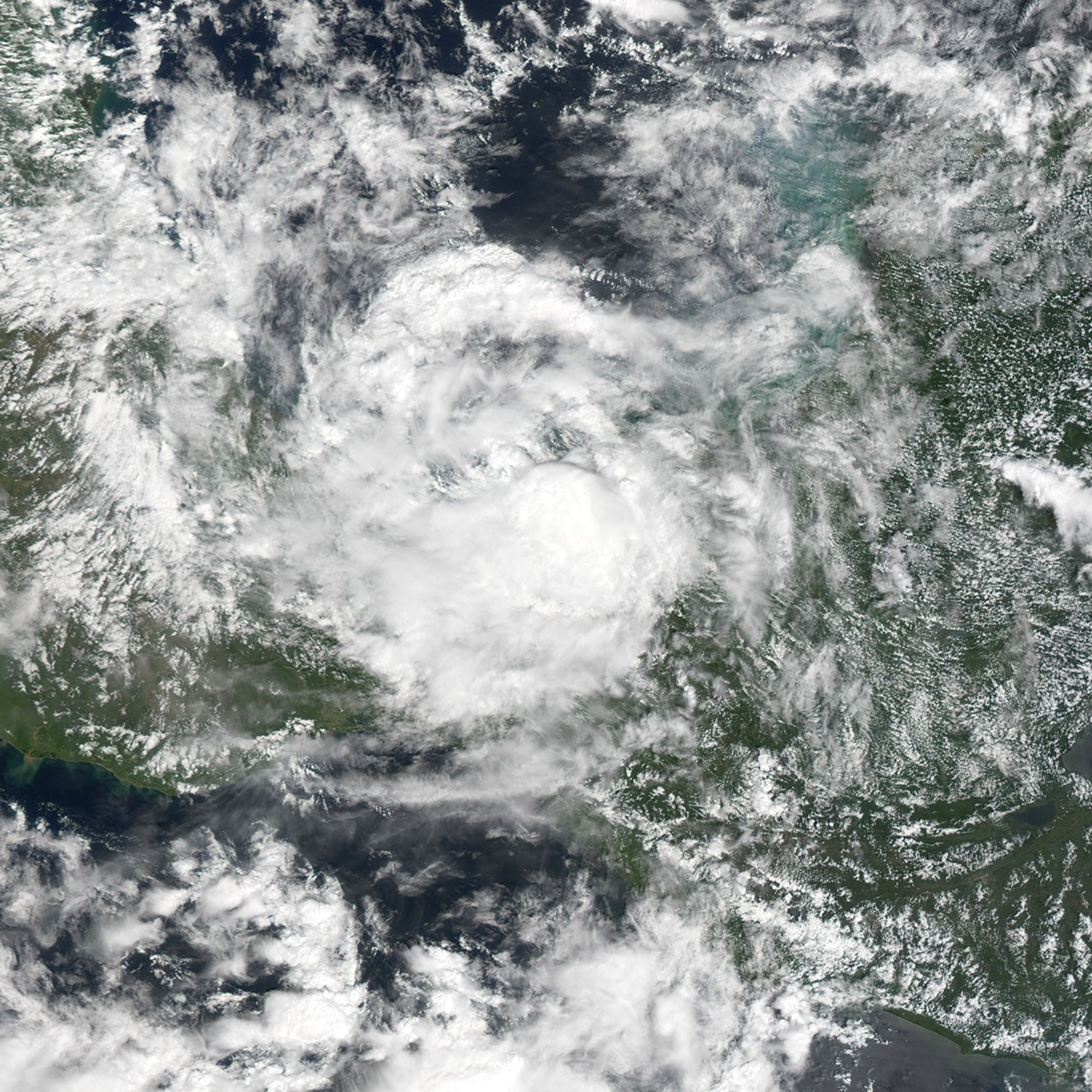
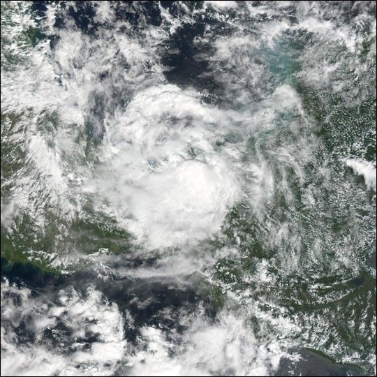
The MODIS instrument onboard NASA's Terra satellite captured this true-color image of Tropical Storm Larry as it was 65 miles east of Coatzacoalcos, Mexico. At the time this image was taken, Larry was moving very slowly to the south at 2 mph and had maximum sustained winds of 50 mph. Larry was expected to dump 8 to 12 inches of rain over portions of southeastern Mexico.

References & Resources

Image courtesy Jesse Allen, based on data from the MODIS Rapid Response Team at NASA GSFC

You may also be interested in:

Stay up-to-date with the latest content from NASA as we explore the universe and discover more about our home planet.

Imelda and Humberto Crowd the Atlantic
3 min read

The tropical cyclones are close enough in proximity that they may influence one another.

Article
Hurricane Erin Roils in the Atlantic
3 min read

The major hurricane steered clear of land but delivered tropical storm conditions to coastal areas along its path.

Article
Hurricane Kiko Nears Hawaii
2 min read

The storm became a major hurricane while traversing the eastern Pacific but weakened as it approached the islands.

Article