Tropical Storm Imelda formed over the southern Indian Ocean on April 6, 2013. Two days later, the U.S. Navy’s Joint Typhoon Warning Center (JTWC) reported, Imelda still had low wind speeds—just 40 knots (75 kilometers per hour). Within 72 hours, however, wind speeds were forecast to reach 95 knots (175 kilometers per hour) with gusts up to 115 knots (215 kilometers per hour).
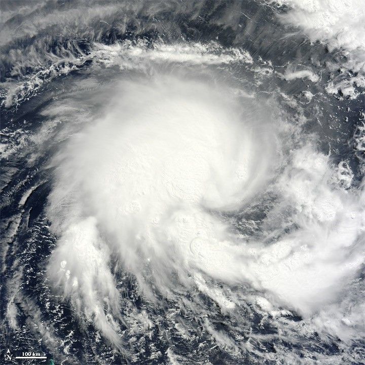
The Moderate Resolution Imaging Spectroradiometer (MODIS) on NASA’s Terra satellite captured this natural-color image on April 8, 2013. Imelda lacked a distinct eye characteristic of strong storms, but still sported a rough apostrophe shape.
The JTWC reported that the storm was located roughly 490 nautical miles (910 kilometers) west-southwest of Diego Garcia. Imelda was expected to continue heading west before turning sharply to the south around April 11. The projected storm track issued on April 8 did not show Imelda making landfall in Madagascar.
References & Resources
- Joint Typhoon Warning Center Accessed April 8, 2013.
- Unisys (2013, April 8) Imelda Tracking Information. Accessed April 8, 2013.
NASA image courtesy Jeff Schmaltz, LANCE/EOSDIS MODIS Rapid Response Team at NASA GSFC. Caption by Michon Scott.