November 11, 2009
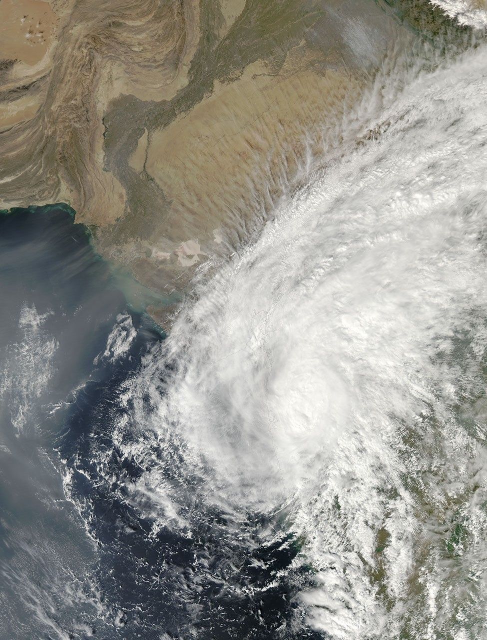
Tropical Storm Phyan came ashore near the India-Pakistan border on November 11, 2009. According to a report from Unisys, the storm had maximum sustained winds of 40 knots (75 kilometers per hour) with gusts up to 50 knots (90 kilometers per hour), but was dissipating as a significant tropical cyclone as it moved over land.
The Moderate Resolution Imaging Spectroradiometer (MODIS) on NASA’s Aqua satellite captured this true-color image at 2:15 p.m. local time (08:45 UTC) on November 11. Phyan stretches from the Arabian Sea toward the northeast over India’s interior, blanketing much of the coast in clouds.
References & Resources
- Unisys Weather. (2009, November 11). Tropical Storm Phyan. Accessed November 11, 2009.
NASA image by Jeff Schmaltz, MODIS Rapid Response Team. Caption by Michon Scott, NASA Earth Observatory.