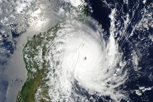
After raking across the Philippines on October 18, 2010, Typhoon Megi re-emerged over the South China Sea and began to intensify again. By the time the Moderate Resolution Imaging Spectroradiometer (MODIS) on NASA’s Aqua satellite acquired this image at 1:30 p.m. local time (5:30 UTC) on October 20, 2010, the storm had again reached Category 4 status. The storm is sprawling, covering much of the South China Sea in this image. At the time, Megi had winds of 210 kilometers per hour (115 knots or 130 miles per hour) and was gradually weakening. The Joint Typhoon Warning Center forecast that Typhoon Megi would move ashore over south China late on October 22 or early on October 23.
The large image provided here is the highest-resolution version of the image. The image is available in additional resolutions from the MODIS Rapid Response Team.
References & Resources
- Joint Typhoon Warning Center. (2010, October 20). Typhoon Megi. Accessed October 20, 2010.
- Masters, Jeff. (2010, October 20). Death toll from Super Typhoon Megi in the Philippines remarkably low. Weather Underground. Accessed October 20, 2010.
- Unisys Weather. (2010, October 20). Super Typhoon-5 Megi. Accessed October 20, 2010.
NASA image courtesy Jeff Schmaltz, MODIS Rapid Response Team at NASA GSFC. Caption by Holli Riebeek.


