Suggested Searches

1 min read

Wildfire Spreads in Fort McMurray

Instruments:
Topics:
2016-05-04 00:00:00
May 4, 2016

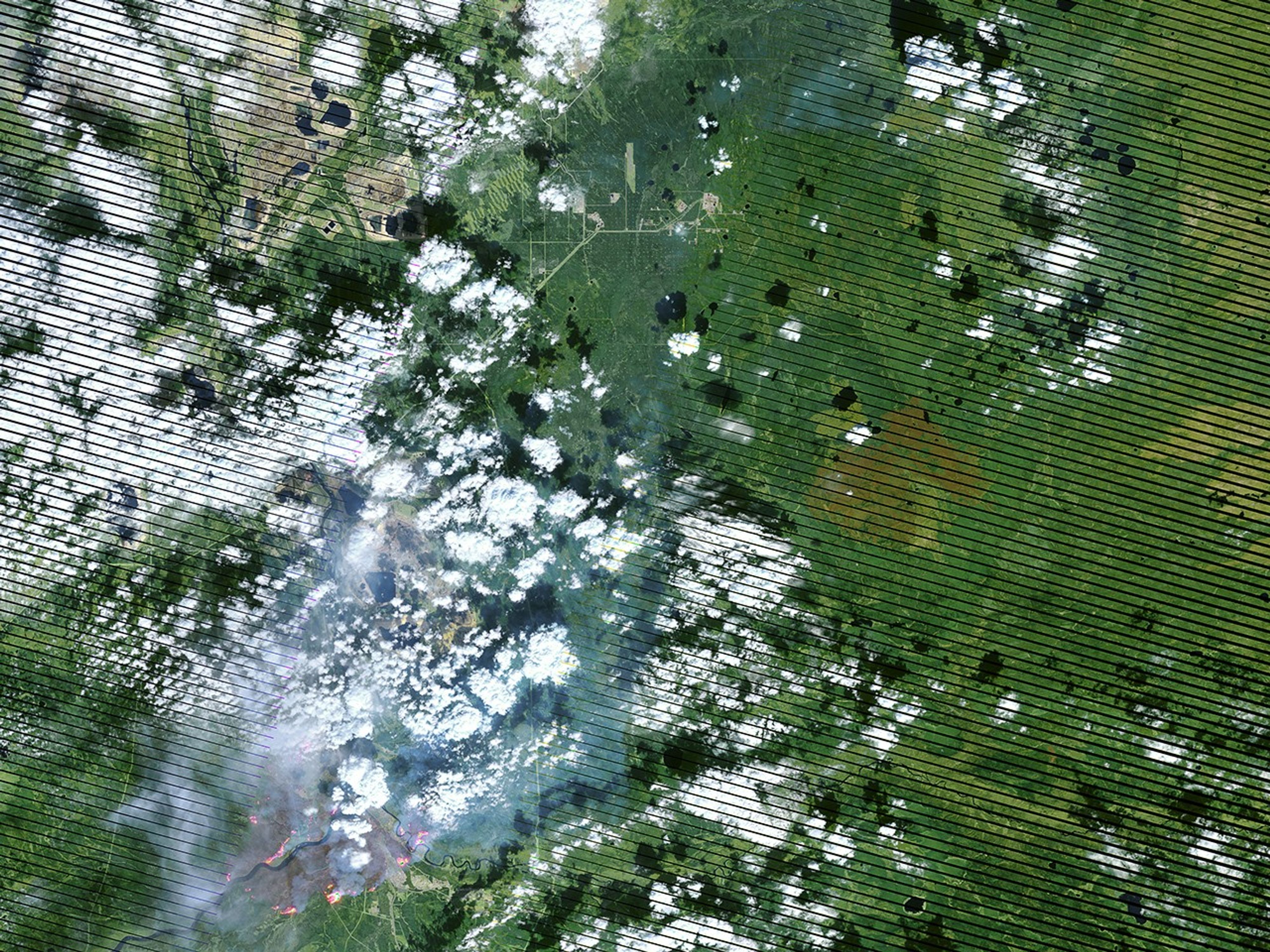
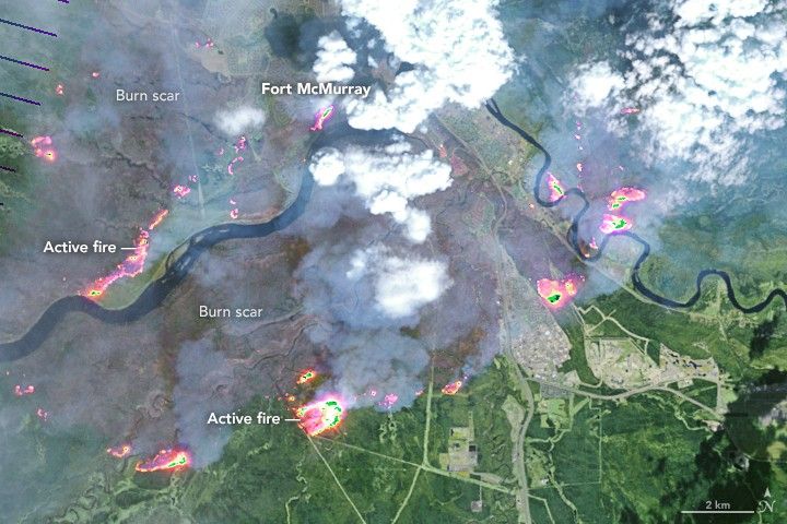
On May 4, 2016, the the Enhanced Thematic Mapper Plus (ETM+) on the Landsat 7 satellite acquired this false-color image of the wildfire that burned through Fort McMurray in Alberta, Canada. The image combines shortwave infrared, near infrared, and green light (bands 5-4-2). Near- and short-wave infrared help penetrate clouds and smoke to reveal the hot spots associated with active fires, which appear red. Smoke appears white and burned areas appear brown.

References & Resources

NASA Earth Observatory image by Joshua Stevens, using Landsat data from the U.S. Geological Survey . Caption by Kathryn Hansen.

You may also be interested in:

Stay up-to-date with the latest content from NASA as we explore the universe and discover more about our home planet.

A Full Moon Checkup
3 min read

Once a month during the full Moon, Landsat 9 turns from Earth to image the lunar surface, helping keep the…

Article
Fires Rage in Georgia
3 min read

Firefighters are battling two destructive blazes in the southern part of the state as drought grips the U.S. Southeast.

Article
Restless Kīlauea Launches Lava and Ash
3 min read

Episode 43 of the Hawaiian volcano’s current eruption was marked by high lava fountains and widespread ash dispersal.

Article