

















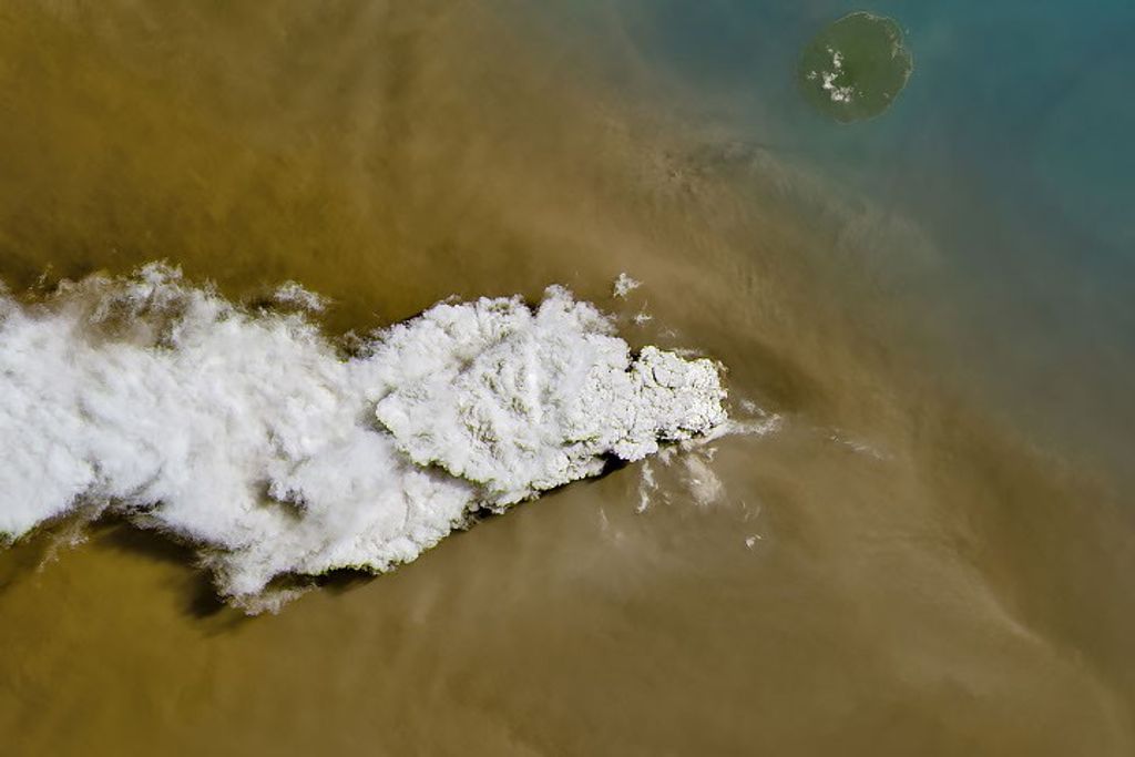










In January 2013, intense bushfires blazed in Tasmania, an island state of Australia. The Moderate Resolution Imaging Spectroradiometer (MODIS) on NASA’s Terra satellite captured this image showing numbers fires burning across the island on January 7, 2013. Red outlines indicate hot spots where MODIS detected unusually warm surface temperatures associated with fires.
Extreme heat and strong winds fueled the fires. Temperatures in Hobart, the capital of Tasmania, soared to a record high of 41.8°Celsius (107.2°Fahrenheit) on January 4. The blazes destroyed more than 100 homes, including many in the small community of Dunalley. More than 100 people were missing after fire tore through the town.
References & Resources
- The Telegraph (2013, Jan. 8) Tasmania wildfires destroy 100 homes amid record temperatures. Accessed Jan. 8, 2013.
- Examiner (2013, Jan. 8) Photos of bushfires in Dunalley, taken by Gravelly Beach firefighter Warwick Schultz. Accessed Jan. 8, 2013.
- Voice of America (2013, Jan. 8) Wildfires Rage Across Australia. Accessed Jan. 8, 2013.
NASA image courtesy of LANCE MODIS Rapid Response. Caption by Adam Voiland.







