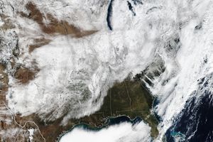
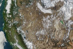
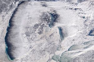
A powerful winter storm swept across the United States on January 15 and January 16, 2007, leaving much of the country under snow and ice. The storm moved from northern Texas, across the Midwest, and into the Northeast. By January 16, when the Moderate Resolution Imaging Spectroradiometer (MODIS) on NASA’s Aqua satellite captured this image, the clouds cleared enough to reveal a path of snow across the Midwest. The Intermountain West was also buried in a blanket of white snow, but the Southeast and the East were still covered by a broad band of clouds. More winter weather swamped the Midwest in the days that followed. By January 19, icy roads and other weather-related incidents had claimed 70 lives, reported CNN.
This image of the United States was stitched together from three satellite overpasses. Faint diagonal lines across the image reveal the boundary between each image. The large image provided above has a resolution of one kilometer per pixel. The MODIS Rapid Response Team provides twice-daily images of sub-regions of the United States in a variety of resolutions via a clickable map.
References & Resources
NASA image courtesy the MODIS Rapid Response Team at NASA GSFC.


