




























APOD
Astronomy Picture of the Day
Discover the cosmos! Each day a different image or photograph of our fascinating universe is featured, along with a brief explanation written by a professional astronomer.
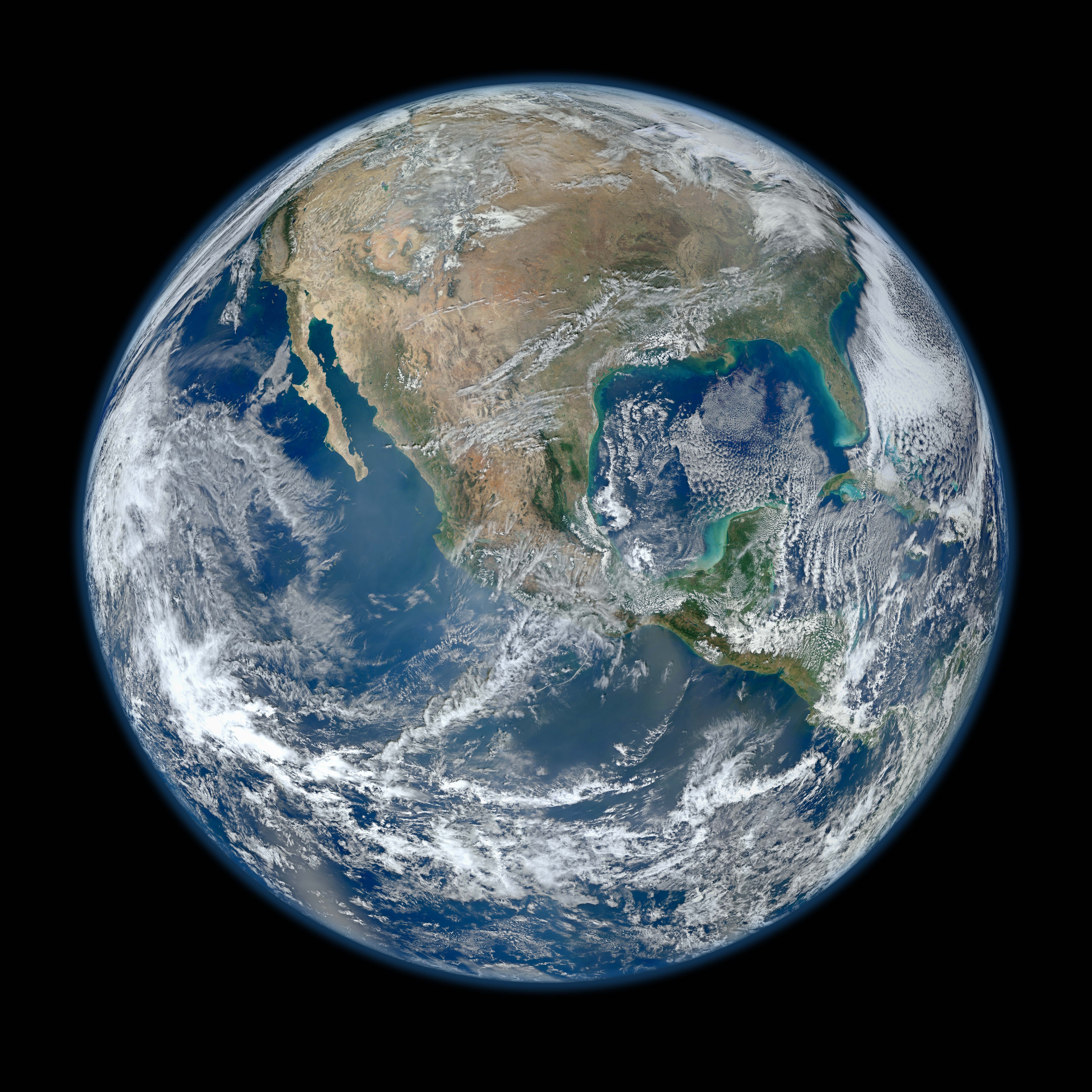
Blue Marble Earth from Suomi NPP
Explanation: Behold one of the more detailed images of the Earth yet created. This Blue Marble Earth montage shown above -- created from photographs taken by the Visible/Infrared Imager Radiometer Suite (VIIRS) instrument on board the new Suomi NPP satellite -- shows many stunning details of our home planet. The Suomi NPP satellite was launched last October and renamed last week after Verner Suomi , commonly deemed the father of satellite meteorology . The composite was created from the data collected during four orbits of the robotic satellite taken earlier this month and digitally projected onto the globe. Many features of North America and the Western Hemisphere are particularly visible on a high resolution version of the image. Previously, several other Blue Marble Earth images have been created, some at even higher resolution .
| Date | January 30, 2012 |
|---|---|
| Credit | Image Credit: NASA / NOAA / <a GSFC / Suomi NPP / VIIRS / <a Norman Kuring |
| Authors & editors: | Robert Nemiroff (MTU) & Jerry Bonnell (UMCP) |
| A service of: |
ASD at NASA / GSFC, NASA Science Activation & Michigan Tech. U. |