


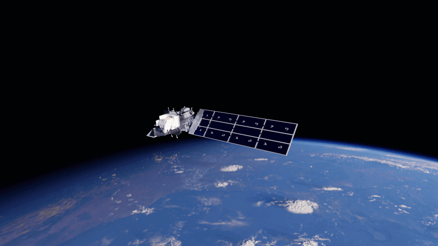
Landsat 9
Landsat 9 extends the longest record of Earth observation, providing reliable data to monitor our ever-changing planet.
| Quick Facts | |
|---|---|
| Sensors: OLI, TIRS | Spatial Resolution: 30 m (VSWIR and SWIR), 15 m (panchromatic), 100 m (TIR) |
| Spectral Resolution: 11 bands | Temporal Resolution: 16 days |
| Radiometric Resolution: 14-bit | Image Data: > 700 scenes per day |
| Scene size: 185 km (115 mi) x 180 km (112 mi) | Swath width: 185 km (115 mi) |
| Global Reference Grid System: WRS-2 | Altitude: 705 km (438 mi) |
| Inclination: 98.2˚ | Orbit: Near-polar, sun-synchronous |
| Equatorial Crossing Time: Nominally 10:12 AM (± 5 min) local time (descending node) | Period of Revolution: 99 minutes; ~14.5 orbits/day |
| Design Life: 5 years | Consumables: 10 years |
Overview
Landsat 9 extends the longest record of Earth observation, providing reliable data to monitor our ever-changing planet. With each new mission, Landsat’s data record becomes ever-more valuable, allowing researchers to identify historical trends over more than five decades of consistent, continuous, global land imagery.
By joining Landsat 8 in orbit, Landsat 9 doubles the data that researchers can use to study Earth. Landsat 9 carries enhanced versions of the instruments on Landsat 8: The Operational Land Imager (OLI) and the Thermal Infrared Sensor (TIRS). This constellation observes the same location on Earth every 8 days, enabling near-weekly tropical deforestation alerts, water quality monitoring, crop condition reports, and other applications requiring frequent observations.
As international and commercial remote sensing activities expand, Landsat 9 strengthens the program's role as a cornerstone of global Earth observation, with its carefully calibrated, science-quality archive serving as the "gold standard" for harmonizing multiple satellite imagery sources in scientific studies. Landsat’s free and publicly accessible data contributed an estimated $25.6 billion to the United States economy in 2023 alone.
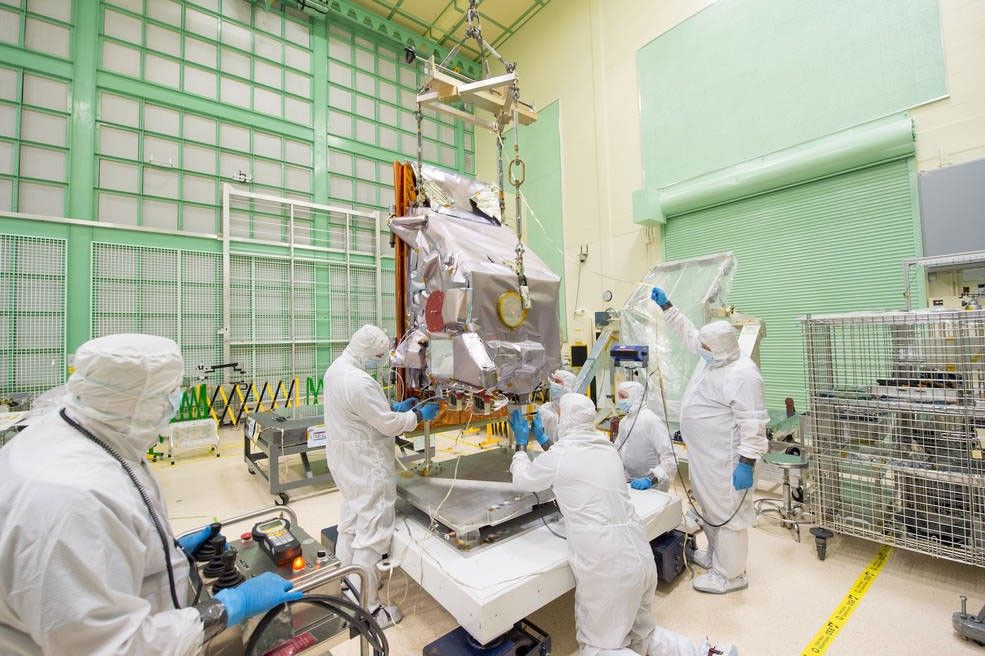
Spacecraft
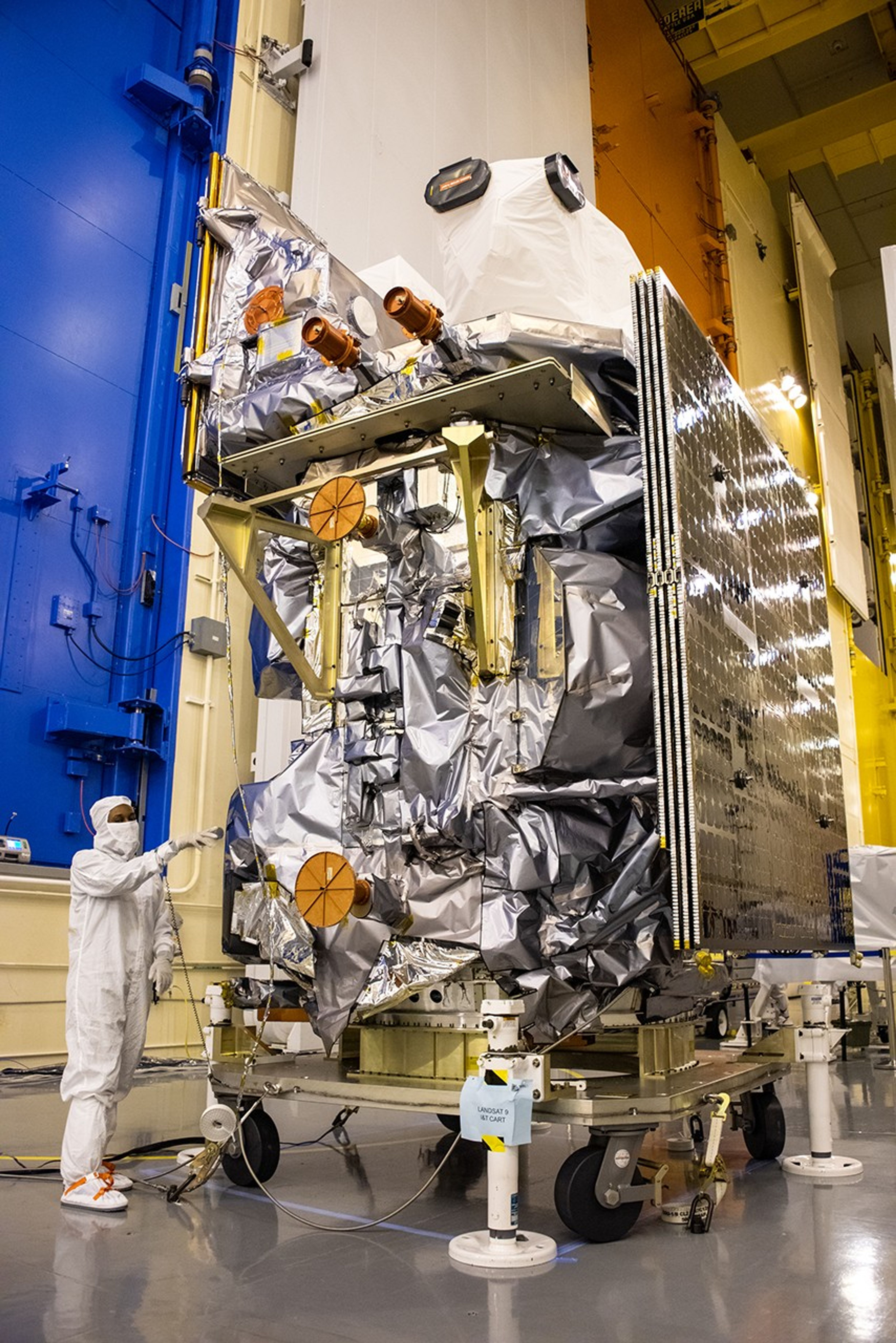
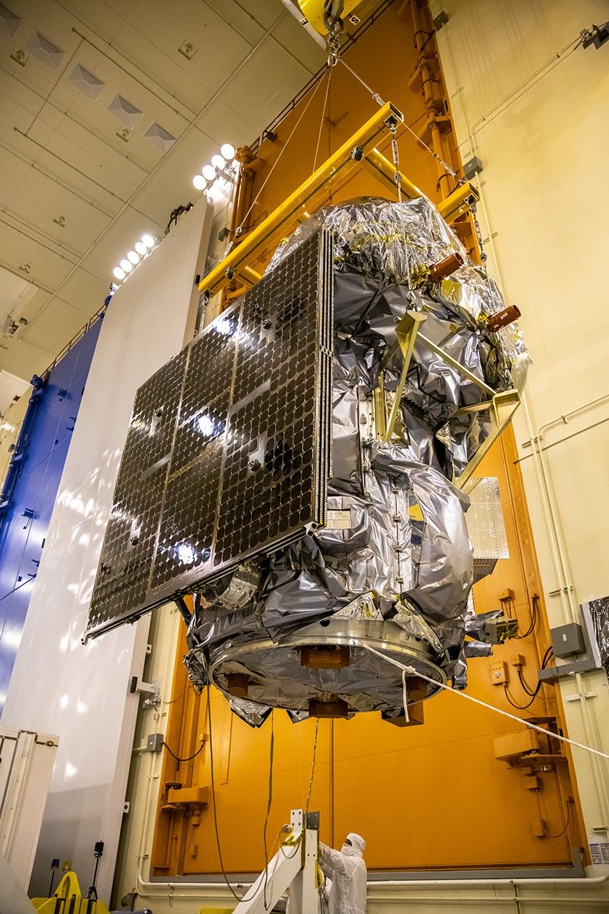
The Landsat 9 spacecraft was launched into Landsat 7’s orbit to maintain 8-day temporal coverage of observations, replacing Landsat 7. Northrop Grumman designed and built the Landsat 9 spacecraft, adapting the NGSS LEOStar bus design used for Landsat 8. The company also integrated the mission’s two instruments and carried out satellite-level testing.
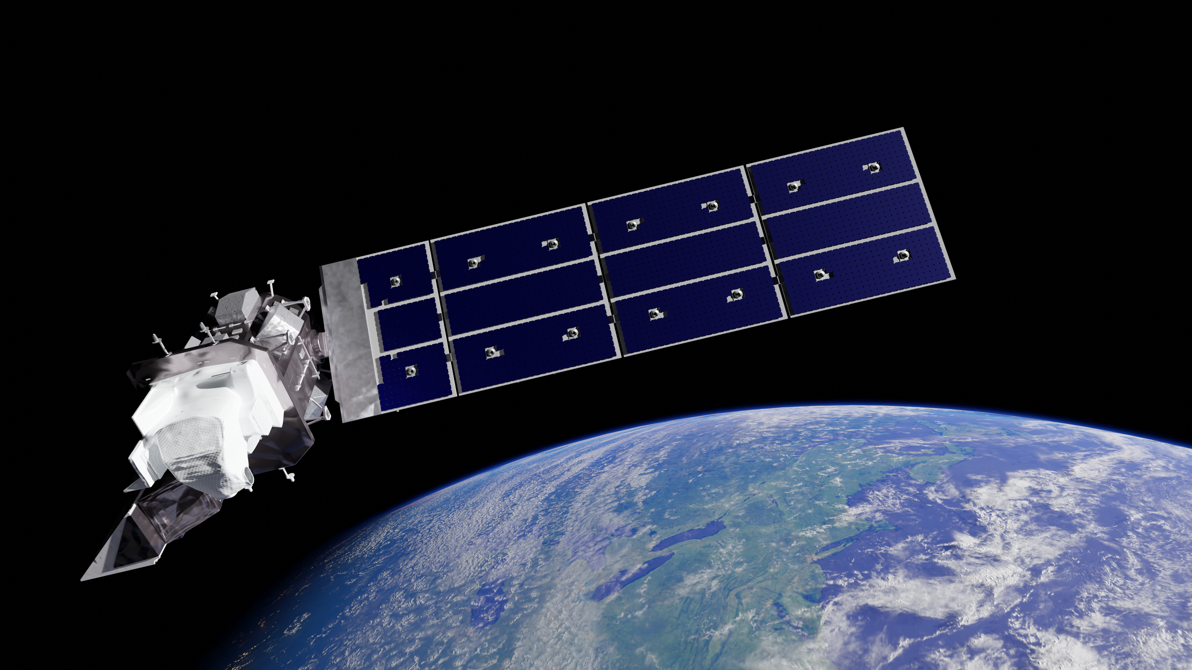
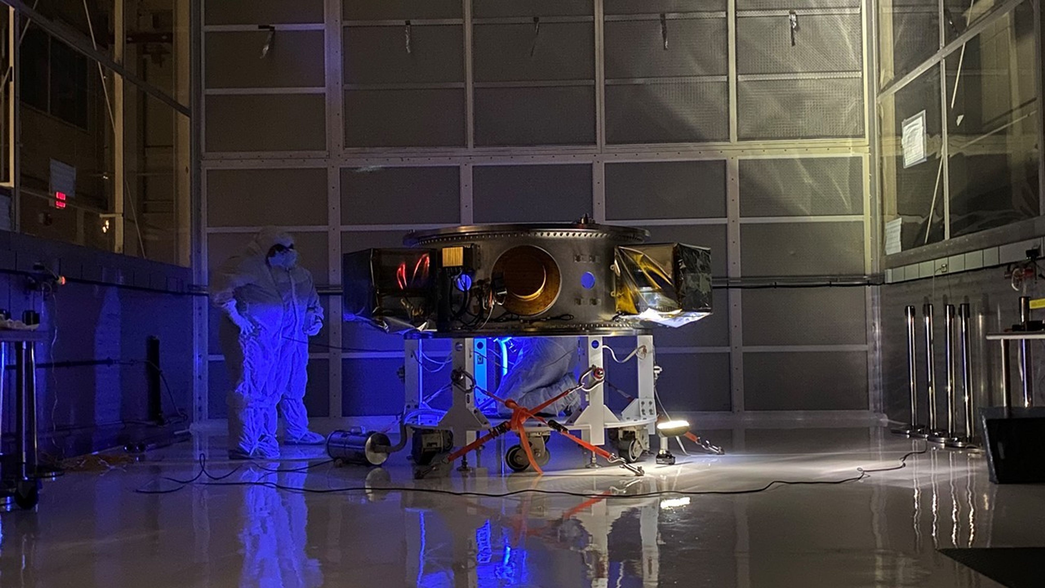
Operational Land Imager (OLI)
The Operational Land Imager (OLI) captures observations of Earth’s surface in visible, near infrared, and shortwave-infrared light. The instrument was built by Ball Aerospace in Boulder, Colorado.
Landsat 9’s OLI design is a copy of the Landsat 8’s OLI instrument and includes an optical telescope, Focal Plane Array/Focal Plane Electronics (FPA/FPE), calibration hardware, and instrument support electronics. Whereas Landsat 8’s OLI collects 12-bit data, Landsat 9’s OLI collects 14-bit data, enhancing the radiometric capabilities to detect differences in very bright and dark surfaces. To ensure radiometric accuracy and stability, OLI contains internal calibration sources and has the ability to perform both solar and lunar calibration.
OLI provides data in the following spectral bands:
Band 1: Coastal/Aerosol (0.43 – 0.45 µm)
Band 2: Visible Blue (0.45 – 0.51 µm)
Band 3: Visible Green (0.53 – 0.59 µm)
Band 4: Visible Red (0.64 – 0.67 µm)
Band 5: Near-Infrared (0.85 – 0.88 µm)
Band 6: Shortwave-Infrared 1 (1.57 – 1.65 µm)
Band 7: Shortwave-Infrared 2 (2.11 – 2.29 µm)
Band 8: Panchromatic (0.50 – 0.68 µm)
Band 9: Cirrus (1.36 – 1.38 µm)
Spatial resolution: 30 m (VSWIR), 15 m (panchromatic)
Data: 14-bit integers
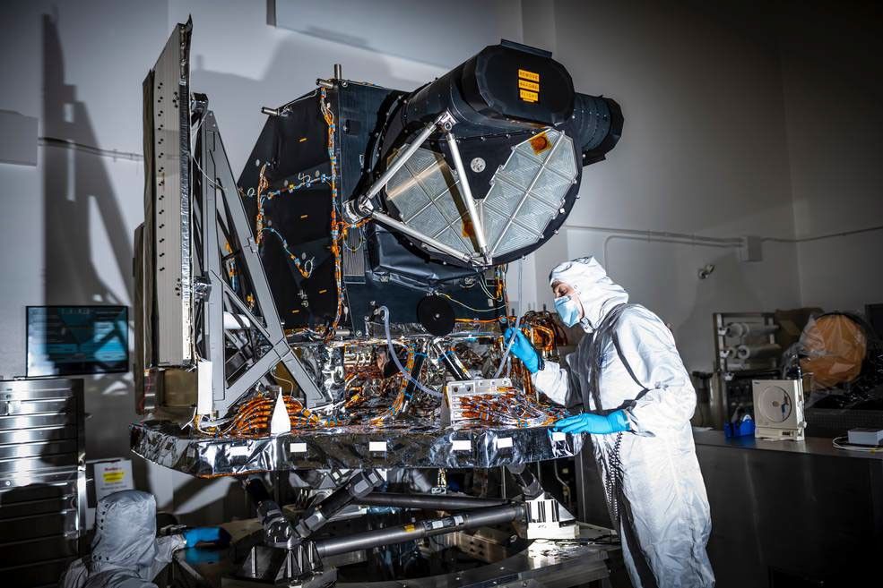
Thermal Infrared Sensor (TIRS)
Landsat 9’s Thermal Infrared Sensor (TIRS) measures land surface temperature in two thermal infrared bands using principles of quantum physics. The instrument was built at NASA Goddard Space Flight Center in Greenbelt, Maryland.
Landsat 9’s TIRS is an upgraded version of the Landsat 8 TIRS instrument with an extended design life of 5 years. It improves reliability and corrects stray light issues.
The TIRS instrument contains a cryocooler radiator, an Earth view, Earth shield, Focal Plane Electronics (FPE), as well as a blackbody and deep space view for internal calibration.
TIRS provides data in the following spectral bands:
Band 10: Thermal-infrared 1 (10.60 – 11.19 µm)
Band 11: Thermal-infrared 2 (11.50 – 12.51 µm)
Spatial resolution: 100 m (resampled to 30 m)
Societal Benefits
-
Agriculture and Water Use
Support water management efforts in drought-prone regions like the Western U.S., where agriculture, industry, and communities compete for limited water resources.
-
Human Health and Wellness
Provide information helping scientists better understand, monitor, and predict harmful algal blooms (HABs) to safeguard human health and the environment.
-
Natural and Human-made Disasters
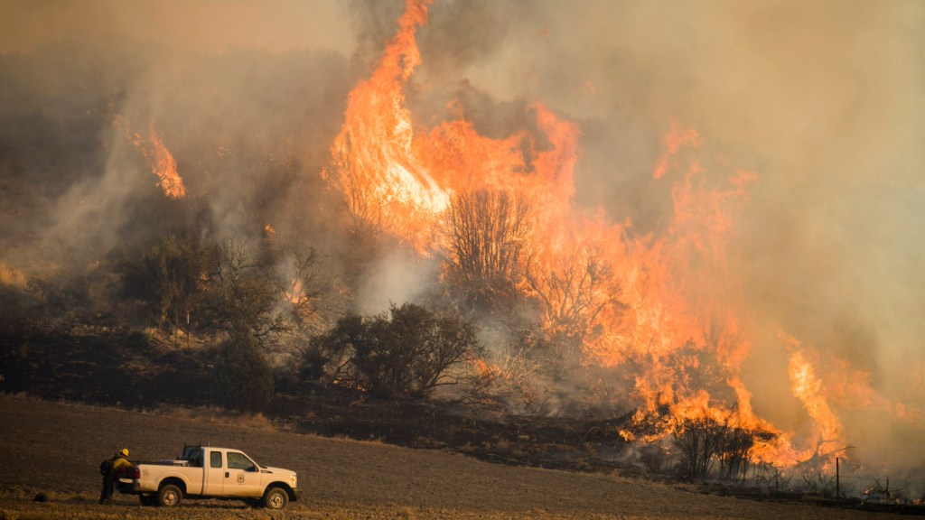
Deliver data before and after wildfires, floods, hurricanes, and volcanic eruptions to assess risk, map the extent of damage, and plan post-disaster recovery.
October 31, 2021
First Light
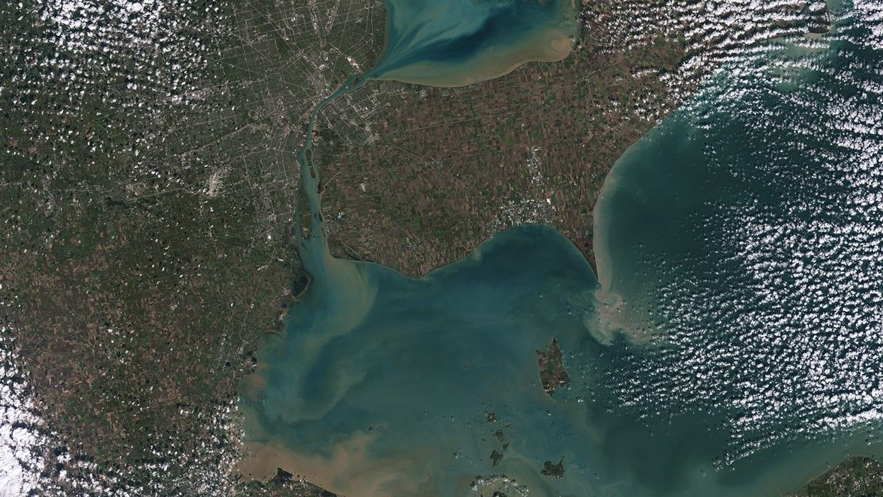
Detroit & Lake Erie
Sediments swirl in Lake Erie and Lake St. Clair in this Landsat 9 image of Detroit, Michigan, and Windsor, Ontario. The Great Lakes serve as sources of freshwater, recreational activity, transport, and habitat for the upper-midwestern U.S., where water quality is a high priority.
In warmer months, Landsat 9 observes swirls of green algae which can become harmful algal blooms. Scientists and resource managers can use these images to detect blooms early, identifying high-risk areas for further testing.

Mission Requirements
-
Landsat 9 is the first mission of the NASA/USGS Sustainable Land Imaging (SLI) Program, which was established to bring stability and predictability to spaceborne U.S. land imaging.
The Landsat 9 broad Program Level Requirements Appendix (PLRA) document identifies fundamental mission requirements (spectral bands, image quality, radiometric accuracy), orbit definition, and mission lifetime, and other key attributes. Pre-launch, these requirements included:
• Acquire data sufficiently consistent with Landsat 8 to allow comparisons for the detection and quantification of changes of the global land surface.
• Collect at least 400 WRS-2 scenes per day.
• Build to a 5-year on-orbit design life.
Landsat 9 collects 740 scenes each day—almost double the minimum daily requirement. The spacecraft carries enough fuel to extend its design life and operate for at least 10 years.
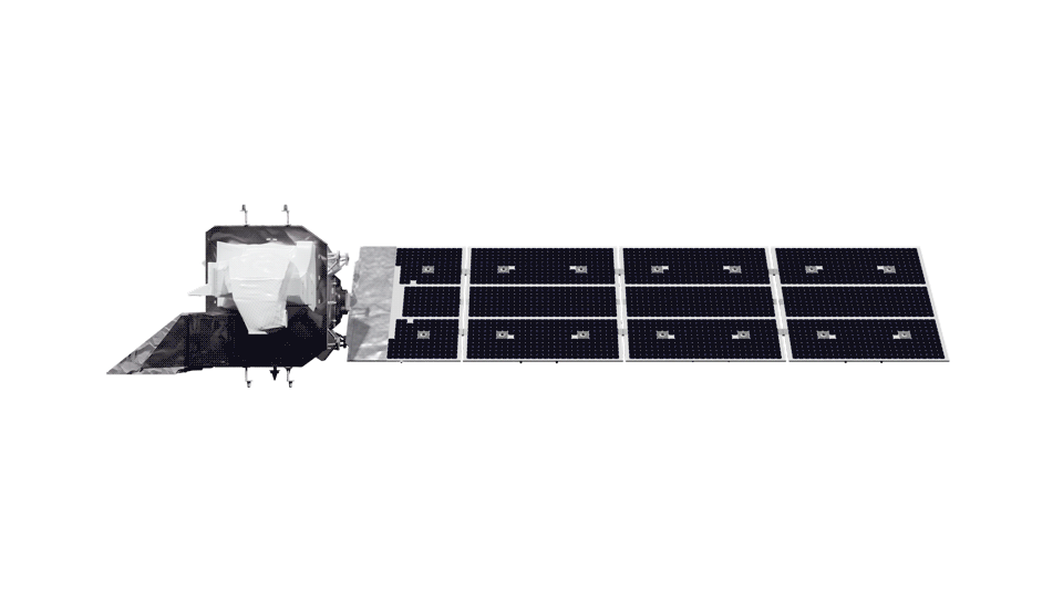
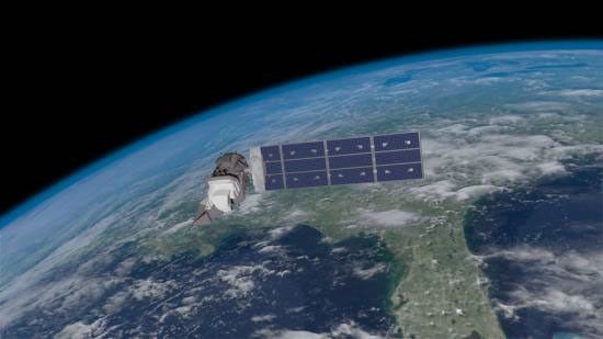
The PLRA also requires the continuation of the joint USGS-NASA Landsat Science Team to support data characterization, provide technical advice on new data products and future observing architectures, and advance new Landsat applications. Illustration of the Landsat 9 spacecraft in orbit around Earth, passing over the US from the Great Lakes to the Gulf of Mexico.NASA/Matt Radcliff
Mission Objectives
-
Reliability
Continue the observation record in the face of single-point instrument or platform failures and extend the ability to detect and quantitatively characterize changes on the global land surface.
-
Sustainability
Provide synoptic, medium-resolution, reflective and emissive multispectral image data of the global land surface on a seasonal basis and distribute standard Landsat 9 data products to users on a nondiscriminatory basis and at no cost to the users under a steady budget.
-
Continuity
Ensure that Landsat 9 data are sufficiently consistent with data from the earlier Landsat missions in terms of acquisition geometry, acquisition rates, calibration, coverage characteristics, spectral and spatial characteristics, output product quality, and data availability to permit studies of land cover and land use change over multi-decadal period.
Continuing the critical observations made by the Landsat satellites is important now and their value will only grow in the future, given the long term environmental changes we are seeing on planet Earth.
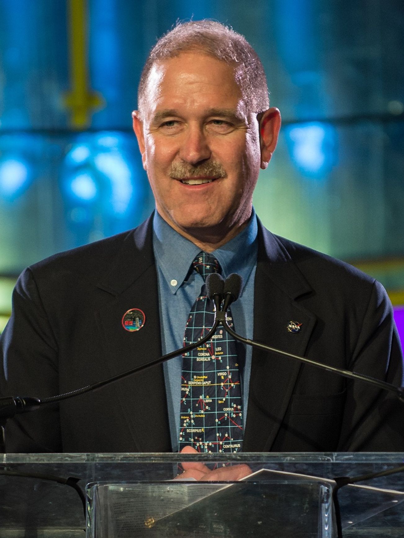
John Grunsfeld
Former NASA Associate Administrator for Science
-
Mission Details
The Landsat 9 mission consists of three segments, space, launch, and ground, all designed to provide continuous, science-grade observations of Earth’s surface. Landsat 9 completed its development and testing before successfully launching in 2021.
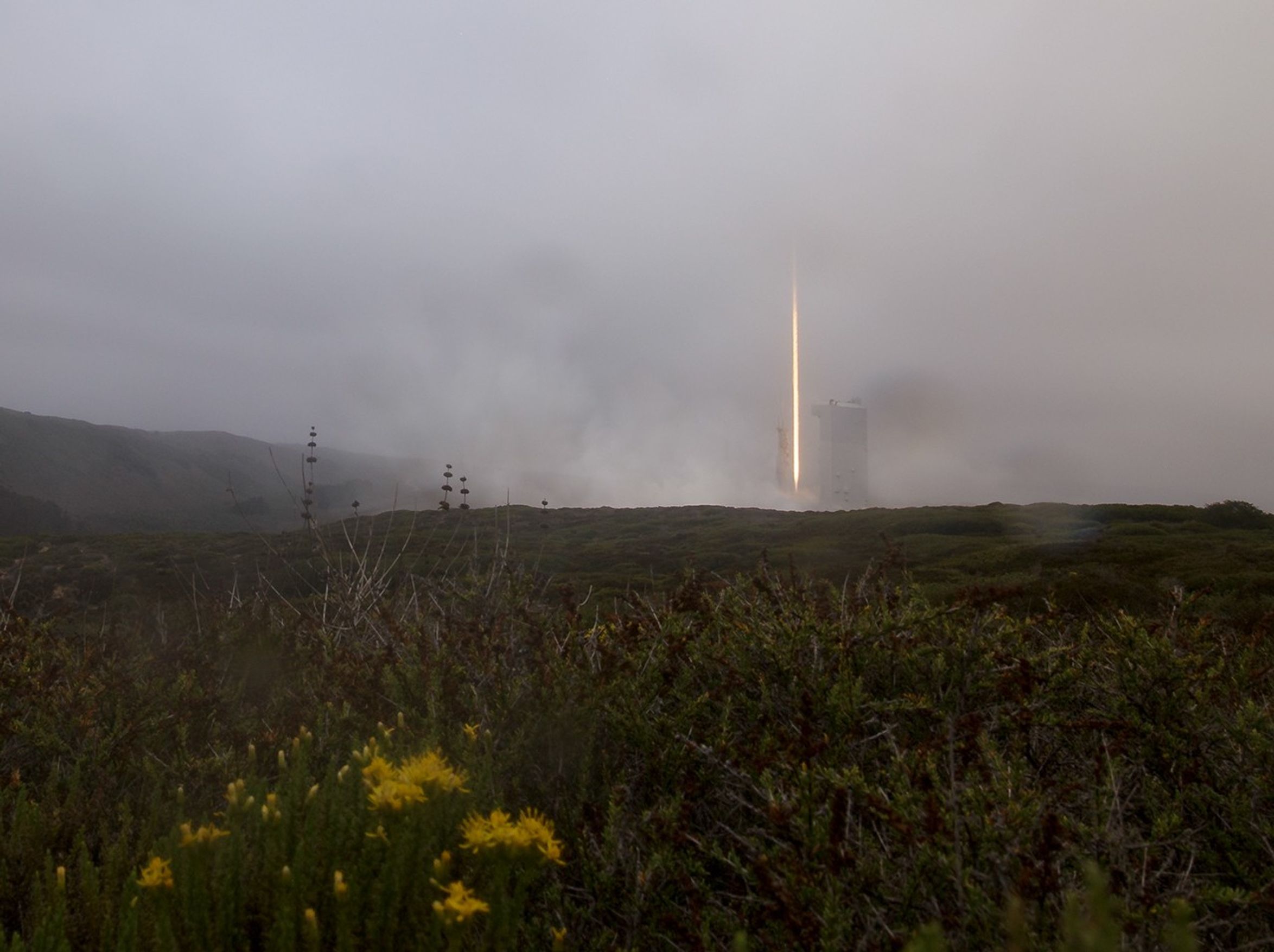
It is now operational, actively downlinking, processing, and distributing data. Onboard calibration and redundancy ensure Landsat 9 collects accurate, reliable data for the duration of its mission life.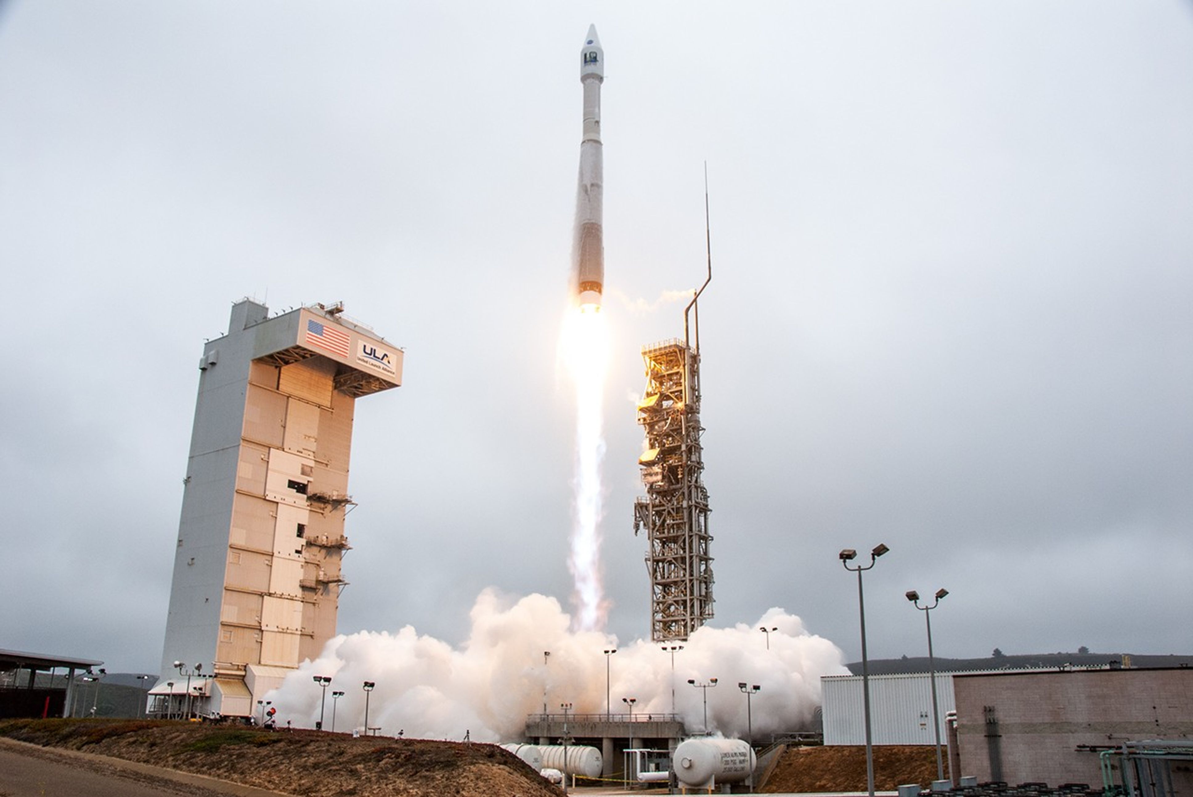 The United Launch Alliance Atlas V rocket launches the Landsat 9 satellite into near-polar, sun-synchronous orbit from Vandenberg Space Force Base on Sept. 27, 2021.NASA/Kim Shiflett
 -
Spectral Bands & Applications
The OLI and TIRS instruments on Landsat 9 collect data across 11 spectral bands. These instruments were designed to maintain continuity with previous Landsat missions while expanding capacity by adding four new bands.
Band 1 measures coastal water quality and aerosols, band 9 detects high, thin clouds, and two thermal infrared bands better distinguish between surface and atmospheric temperature. The Multispectral Scanner System (MSS) aboard Landsats 1-5 had four bands. The Thematic Mapper (TM) aboard Landsats 4 & 5 had seven bands. Landsat 7's Enhanced Thematic Mapper Plus (ETM+) has 8 bands and Landsats 8 & 9 have 11 bands. The atmospheric transmission values for this graphic were calculated using MODTRAN for a summertime mid-latitude hazy atmosphere (circa 5 km visibility).
Technology Highlight
Landsat 8 and 9 Underfly
After its launch on September 27, 2021, Landsat 9 experienced a once-in-a-mission lifetime event where its orbit was directly below Landsat 8 for an “underfly.”
Satellite underflies allow calibration experts to compare measurements collected by the instruments on both satellites to ensure data quality continuity. This tandem collection opportunity lasted 5 days, collecting 2,396 images from November 12-16, 2021, with 100 percent overlap between the two satellites on November 14th.
Learn More about Landsat 8 and 9 Underfly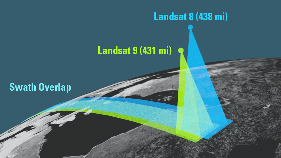
Project and Program Management

Christopher S.R. Neigh
Landsat 9 Project Scientist
Jeff Masek
Former Landsat 9 Project Scientist

Bruce Cook
Former Deputy Landsat 9 Project Scientist

Del Jenstrom
Landsat 9 Project Manager

Paul Buchanan
Landsat 9 Deputy Project Manager / Acting OLI-2 Instrument Manager

Jason Hair
Landsat 9 TIRS-2 Instrument Project Manager

Michael Egan
NASA Headquarters Program Executive
Christopher Crawford
USGS Landsat 9 Project Scientist

Thomas Loveland
Former USGS Landsat 9 Project Scientist

Kurt Thome
Calibration/Validation Manager

Brian Sauer
USGS Landsat 9 Project Manager

Phil Dabney
Former Landsat 9 Instrument Scientist


Landsat 9 Graphics Library


Related Resources
Explore related resources to learn more about Landsat 9.
Selected Publications
- Irons, J., & Masek, J. (2006). Requirements for a Landsat Data Continuity Mission. Photogrammetric Engineering & Remote Sensing, 1102–1108. https://www.asprs.org/wp-content/uploads/pers/2006journal/october/highlight.pdf
- Masek, J. G., Wulder, M. A., Markham, B., McCorkel, J., Crawford, C. J., & Jenstrom, D. T. (2020). Landsat 9: Empowering open science and applications through continuity. Remote Sensing of Environment, 248(111968). https://doi.org/10.1016/j.rse.2020.111968
- Montanaro, M., McCorkel, J., Tveekrem, J., Stauder, J., Mentzell, E., Lunsford, A., Hair, J., & Reuter, D. (2022). Landsat 9 Thermal Infrared Sensor 2 (TIRS-2) stray light mitigation and assessment. IEEE Transactions on Geoscience and Remote Sensing, 60(5002408), 1–8. https://doi.org/10.1109/tgrs.2022.3177312


