![Request for Information – Potential [Placeholder for Prize]](https://assets.science.nasa.gov/dynamicimage/assets/science/psd/solar/2023/09/s/solarsystem_0.jpg?w=1024)


News
The Landsat program does more than just collect data. It helps write Earth's story.
Since 1972, Landsat satellites have systematically documented our planet's changing surface, from shifting agricultural patterns and urban expansion to forest loss and coastal erosion. This continuous record provides scientists with invaluable data to understand long-term environmental change.
Latest News

NASA Releases Landsat 10 Spacecraft Request for Proposal
The Landsat 10 Spacecraft Request for Proposal (RFP) is available for review via SAM.gov as of July 14, 2026.
Filters

Stewart Island/Rakiura, New Zealand’s third-largest island, is known for its vibrant birdlife, unique forests, wilderness beaches, and views of the…

The color of Adélie penguin droppings reveals what the birds are eating, offering scientists a way to track how sea…
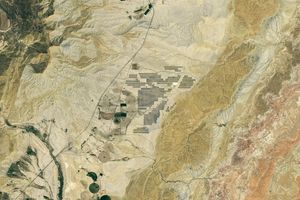
Utah’s new solar power and battery storage facility is among the largest in the region.
Differences in the underlying bedrock and how rivers distribute sediment make the coastlines west of Portland look unlike those northeast…
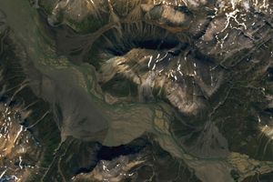
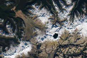
Sediment eroded from ice-capped mountains splays out across a broad river valley on Russia’s Severny Island.

Orange streams are now being spotted in hundreds of watersheds in permafrost areas throughout Alaska’s Brooks Range.

Marshy, sandy terrain and an impassable inlet helped colonial forces repel British forces during a pivotal battle on the barrier…
Apollo astronauts previewed their roles as lunar field geologists in Alaska’s Valley of Ten Thousand Smokes.

Relentless rains are threatening a lake in Kenya's Great Rift Valley that has become a key hub in the global…

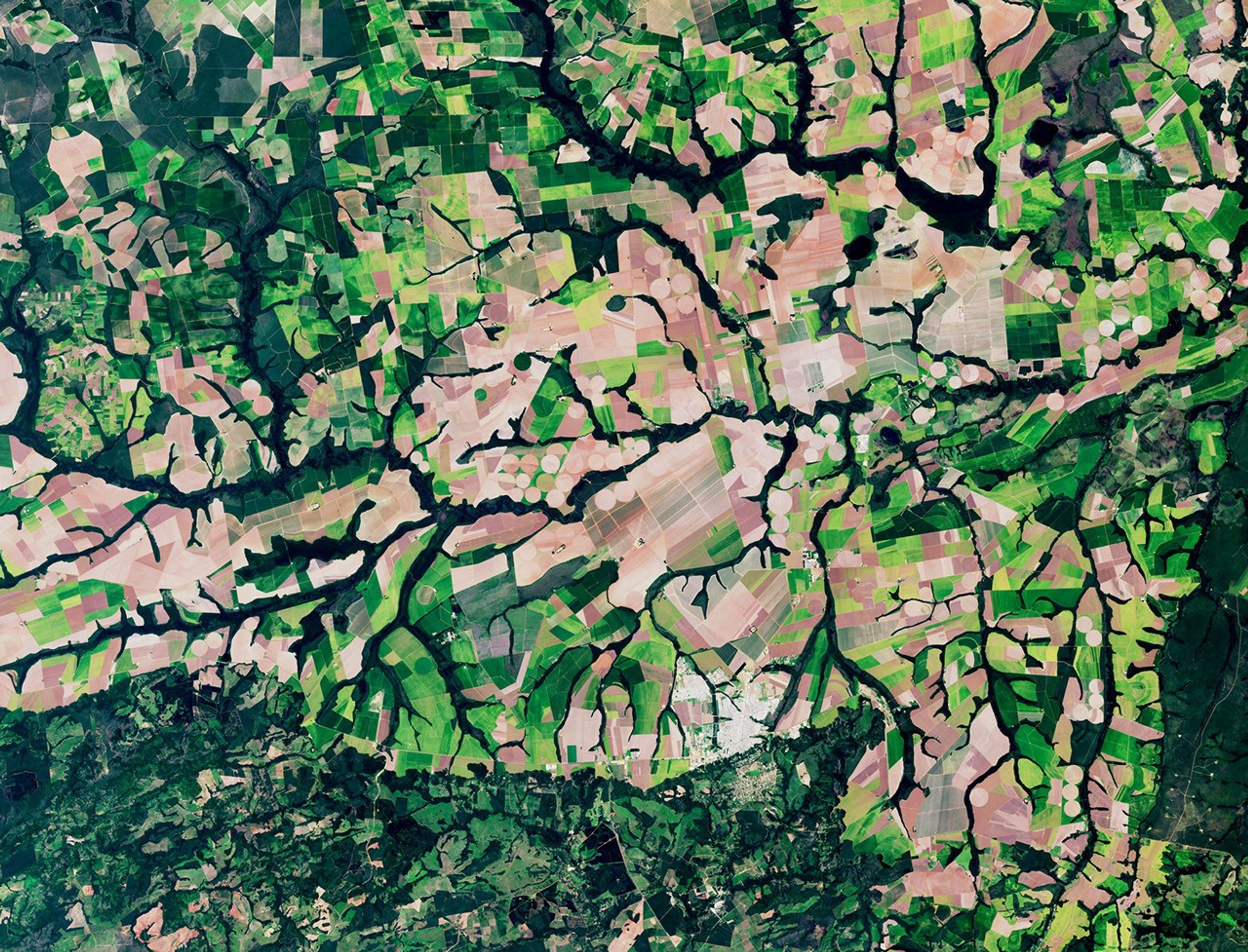
The Nebraska Sandhills—the largest system of sand dunes in the Western Hemisphere—stretch across about one-quarter of the state.
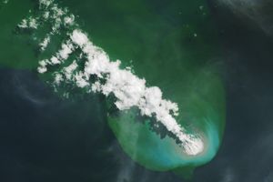
Buoyant volcanic rock fragments from an underwater eruption drifted across the Bismarck Sea and choked island coasts.

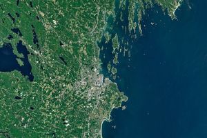
The city's metro area has pushed westward since it last hosted World Cup matches in 1986, expanding across a landscape…