Societal Benefits
Landsat is an essential tool for decision-making worldwide, delivering substantial economic and environmental benefits.
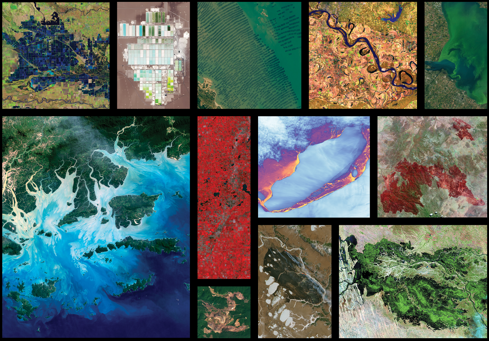
Overview
Communities worldwide use Landsat data to make better decisions about how to manage our natural resources and boost productivity of land-use. The Landsat program’s long-term data record and space-based vantage provide managers and researchers essential context about the Earth’s changing surface, allowing them to study changes at large spatial scales and track trends over decades. This research results in substantial economic and environmental benefits for the U.S. and the world.
-
Agriculture & Food Security
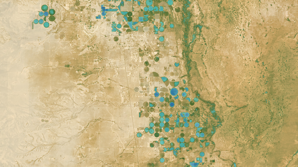
Landsat data empower land managers to optimize crop yields and maximize food security, benefiting farmers and consumers worldwide. Early Landsat missions enabled the first large-scale, space-based agricultural surveys, and the program remains a vital source for agricultural data today.
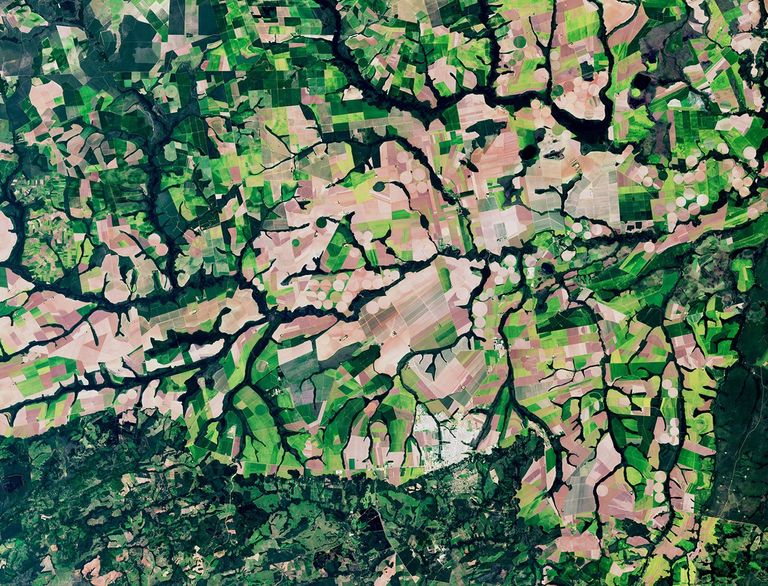 A natural-color satellite image showcasing farmland and agriculture near Primavera do Leste, Brazil, acquired by Landsat 9 on February 8, 2025.NASA/Ross Walter
 -
Disaster Management
When disaster strikes, Landsat offers a critical bird’s-eye view to help communities assess damage and coordinate response efforts. Emergency response teams can accurately map flood extents, quantify burned areas after wildfires, and assess infrastructure damage.
 A natural-color Landsat 8 satellite image of the Betsiboka estuary in Madagascar, acquired on January 18, 2017.
 -
Ecosystems & Biodiversity
Landsat satellites monitor Earth’s varied and complex ecosystems—from forests to wetlands to coral reefs—that sustain wildlife and human communities. Scientists use these data to track biodiversity hotspots, measure carbon sequestration in forests, monitor agricultural productivity, and assess the health of critical habitats that support endangered species.
 A natural-color Landsat 7 satellite image of extensive coral reefs on the northern shore of Vanua Levu, Fiji's second largest island, acquired on September 19, 2002.
 -
Energy Resources
As the global demand for energy grows, Landsat plays a pivotal role in identifying new energy sources while monitoring the environmental impacts of existing operations. Landsat provides energy companies and regulators with consistent, objective data used in operations from locating mineral deposits to tracking vegetation growth during mine reclamation.
 A natural-color Landsat 8 satellite image of the Athabasca oil sands in Alberta, Canada, acquired on July 15, 2016.
 -
Forest Management
Landsat equips forest managers with the necessary insights to conserve forests for timber production and biodiversity while combating threats like pest infestation and deforestation. With a decades-long archive of continuous forest monitoring, managers can analyze long-term growth patterns, identify recurring pest outbreak cycles, and measure reforestation success rates across their full extent.
 A natural-color Landsat 8 satellite image of a rivers near Yurimaguas in the Peruvian Amazon, acquired on July 10, 2019.
 -
Human Health
Landsat tracks urban heat islands, harmful algal blooms, disease vectors, and other threats to human health. These data help decision-makers identify heat island hotspots, monitor toxic algae and other pollutants in drinking water, and track landscape conditions that support malaria-carrying mosquitoes.
 A natural-color Landsat 8 satellite image of the Paraguay River near Asunción, Paraguay, acquired on January 24, 2014.
 -
Urban Development
Landsat captures patterns of urban growth, enabling city planners to monitor the impacts of land use change and plan future development. Managers can use Landsat’s archive to analyze growth across metropolitan regions and monitor environmental impacts of development.
 A natural-color Landsat 8 satellite image of urban development in São Paulo, Brazil, acquired on September 1, 2013.
 -
Water Resources
Landsat informs water resources decisions from monitoring agricultural water use to identify reservoir pollution, impacting millions of people’s access to this essential resource. Using thermal and multispectral data, Landsat measures crop water stress, detects algae blooms and sediment plumes in water bodies, and tracks changes in reservoir levels and wetland extent over time.
 A natural-color Landsat 8 satellite image of Siling Lake (Seling Co) in Tibet, acquired on September 12, 2017.
 -
Wildfires
Communities use Landsat data to intervene before, during, and after a wildfire to protect their land and maintain healthy forest ecosystems. Since the 1970s, Landsat has contributed to a comprehensive fire database that reveals how fires are occurring more frequently and with greater intensity, enabling scientists and land managers to better understand these changing patterns and plan more effective recovery efforts.
 A natural-color Landsat 8 satellite image of an active wildfire near Yellowknife, Northwest Territories, Canada, acquired on August 16, 2023.
Case Studies & eBooks
By amassing information about changes to Earth’s land surface for more than 50 years, the Landsat program has provided decision makers tasked with managing Earth’s natural resources with data to make informed decisions. These case studies highlight some of the valuable and tangible benefits of Landsat.
Explore
Benefits Postcards
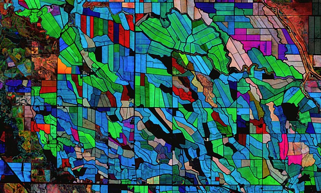
Agriculture Postcard
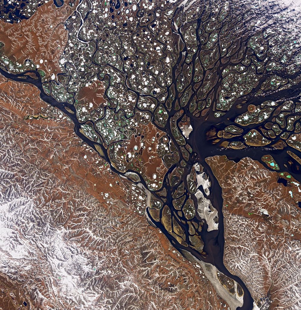
Carbon & Climate Postcard
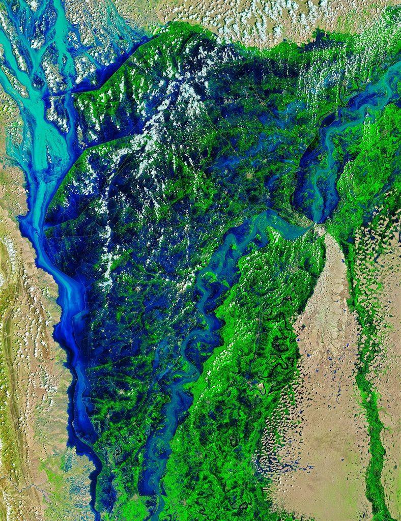
Natural Disasters Postcard
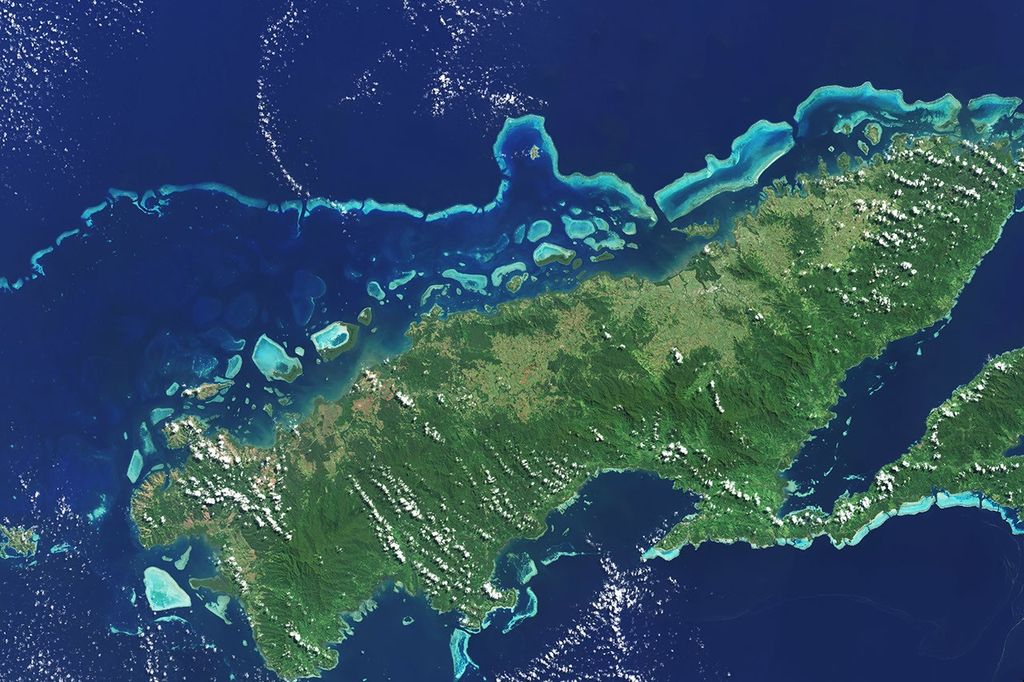
Ecosystems & Biodiversity Postcard
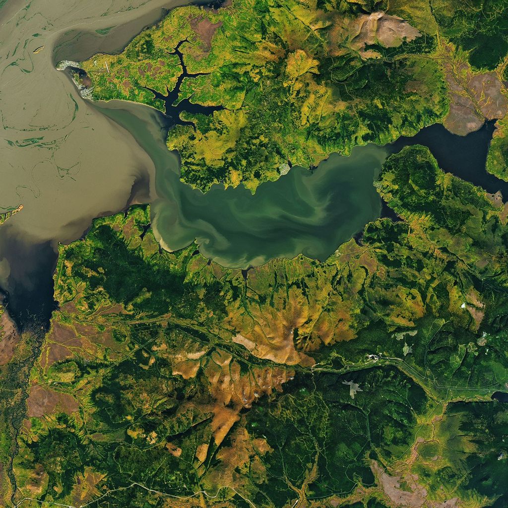
Landsat & GEDI Postcard
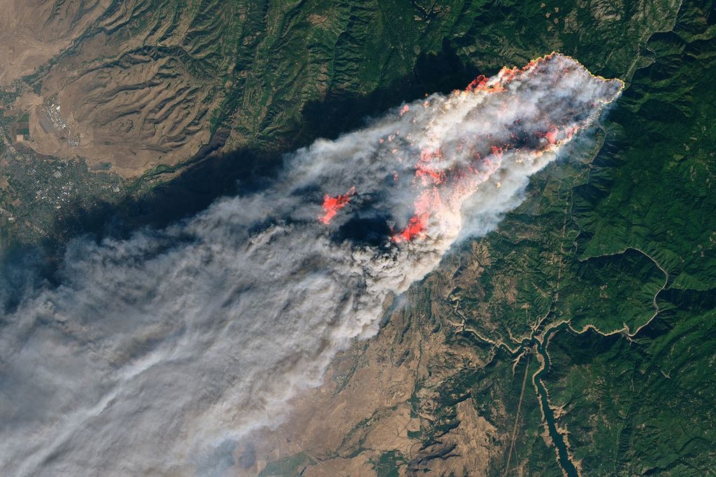
Fire Management Postcard
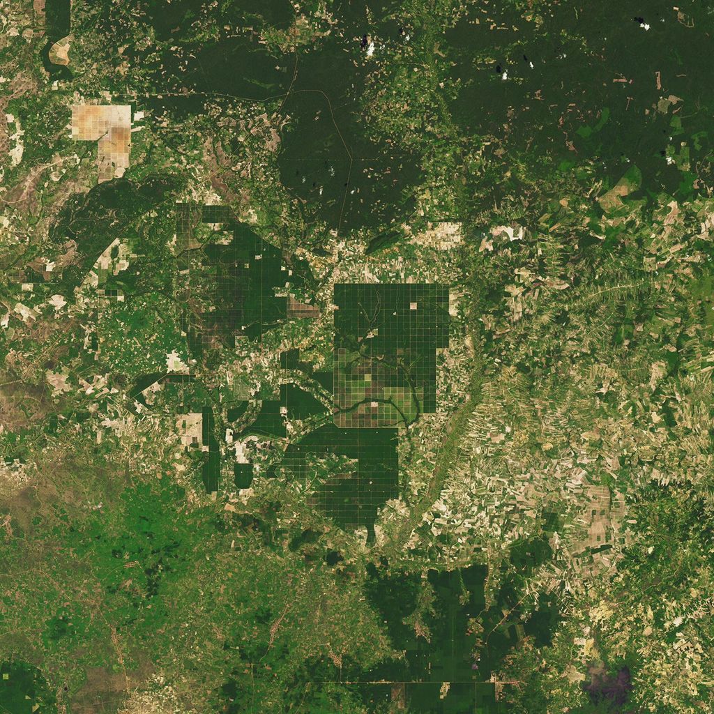
Forest Management Postcard
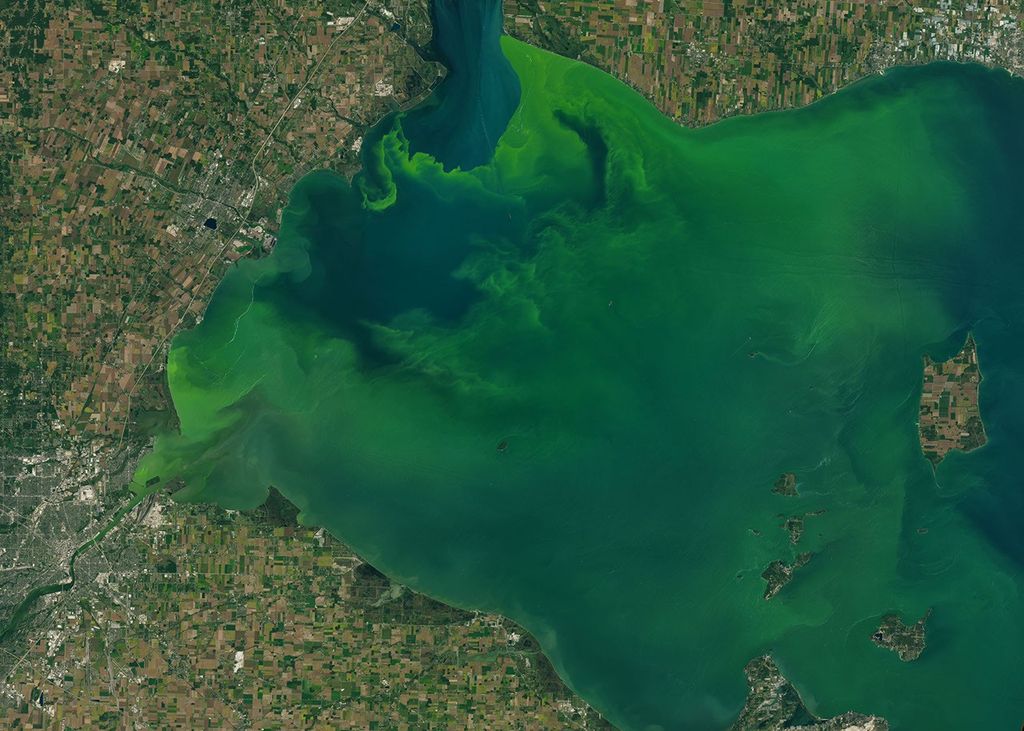
Human Health Postcard

Ice Postcard
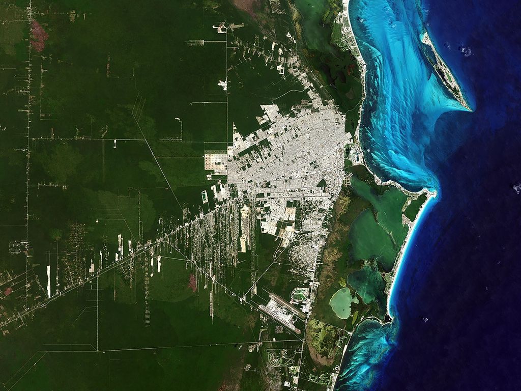
Urban Growth Postcard