Ecosystems & Biodiversity
Landsat monitors Earth’s varied and complex ecosystems—from forests to wetlands to coral reefs—that sustain wildlife and human communities.

Landsat’s Role in Managing Ecosystems and Biodiversity
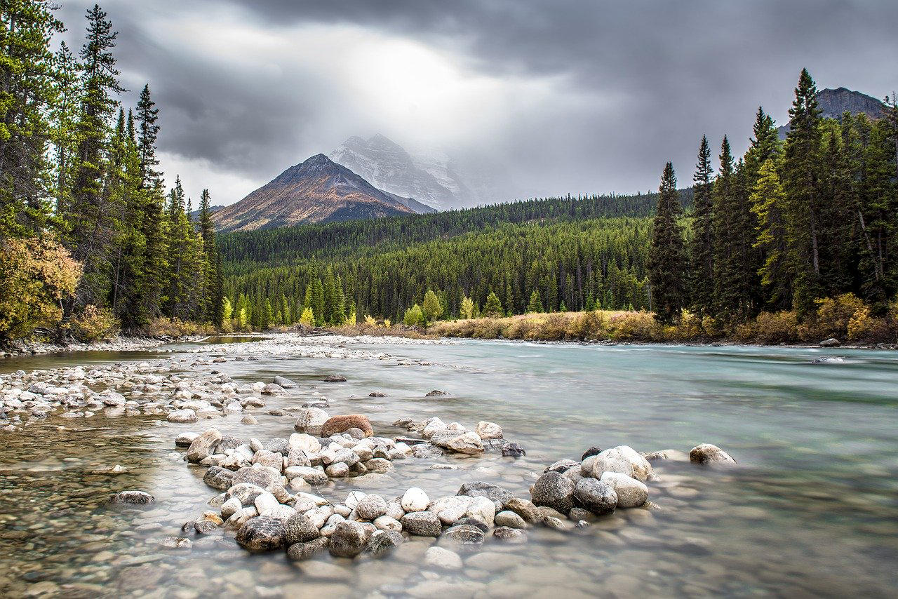
Our world is made of complex networks of living things and physical elements that constantly interact and affect each other. Such networks are known as “ecosystems.” Healthy and economically important ecosystems such as temperate forests, wetlands, grasslands, coastal zones, coral reefs, and rainforests all play roles in human life. For example, farm and rangeland ecosystems must be healthy to produce the grains and livestock on which we depend as a nation. Marine ecosystems depend on the health of land ecosystems, because coastal areas provide habitat needed to support the productivity and diversity of aquatic organisms.
Landsat has brought valuable capabilities to ecosystem studies. Landsat instruments measure reflected light in visible and infrared wavelengths. Because plants reflect little visible light and a lot of infrared light when they are healthy, the measurement of both types of light simultaneously gives scientists a way to assess plant health and density over a landscape. Measurements are detailed enough while still covering a wide area that ecologists can expand their interpretations of local events and processes, such as an insect infestation in a specific forest, to a regional scale. This helps them to gauge the health of larger ecosystems. Because Landsat data are accurately mapped to reference points on the ground and adjusted for topographic relief, they can be integrated with other geographic data sets and models to explore more complex studies of ecosystems and biodiversity across space and time.
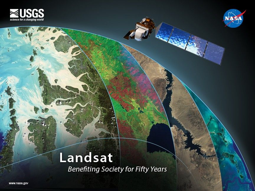
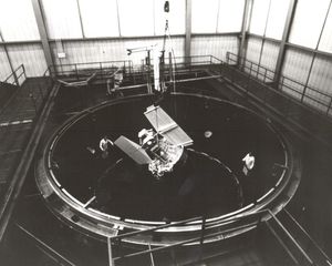
Designed, built, and launched by NASA, Landsat satellites have recorded global ecosystem conditions every year since 1972. The U.S. Geological Survey provides this valuable data to the public at no cost. Landsat observations continue into the future with the Landsat 9 satellite launched on Sept. 27, 2021.
Landsat Data for Local and Global Decision-making
- Mapping ecosystems
- Quantifying the rate and extent of forest disturbance and re-growth
- Tracking species distributions
- Assessing ecosystem shifts
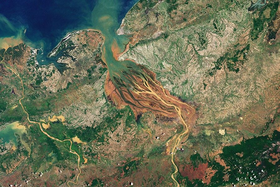
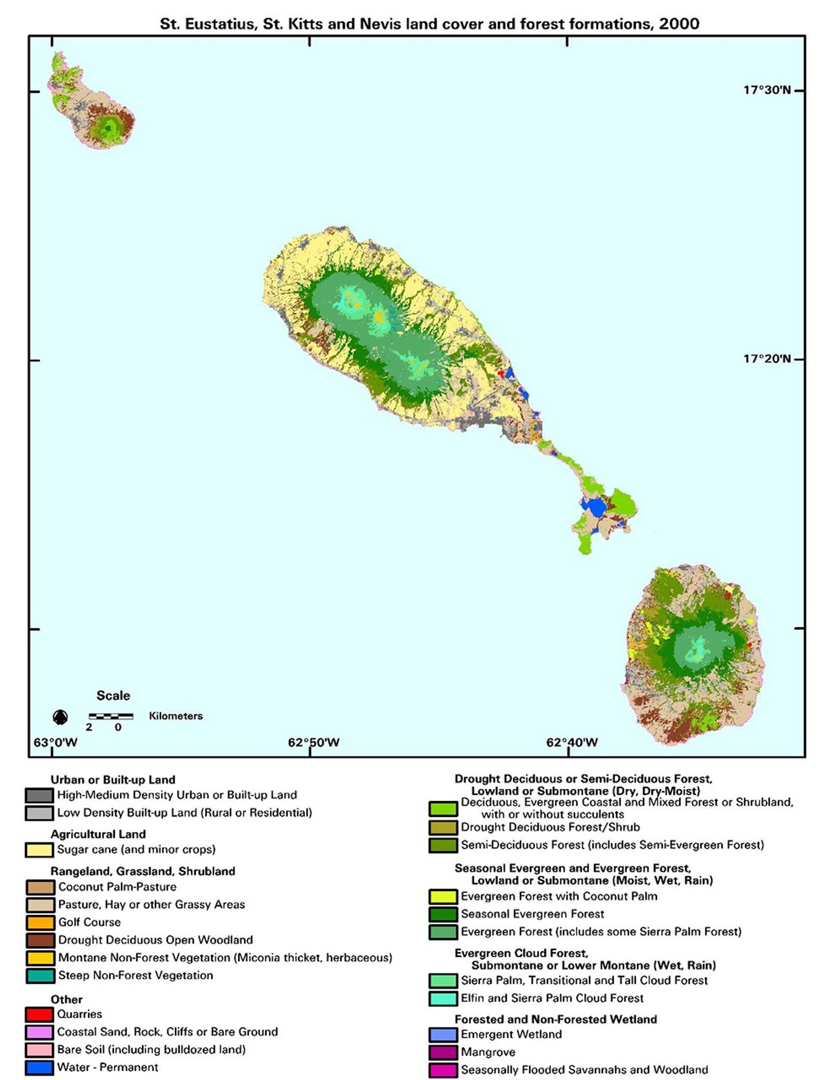
Mapping Ecosystems
Coral reefs, coastal waters that host giant kelp, barrier islands, and thick mangrove forests provide critical shelter and food for innumerable species of marine life, many of which are economically important. Landsat data have made it possible to map all of these ecosystems accurately on a global scale. Because of Landsat, researchers identified 650 previously unrecognized barrier islands worldwide and made the first global inventory of coral reefs. Such maps help researchers to identify potential rehabilitation sites, set conservation priorities, and quantify ecosystems’ contributions to fisheries and their roles in saving lives and property from natural disasters such as hurricanes and tsunamis.
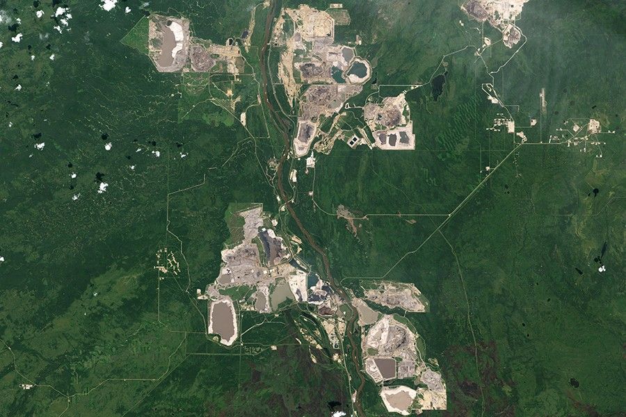
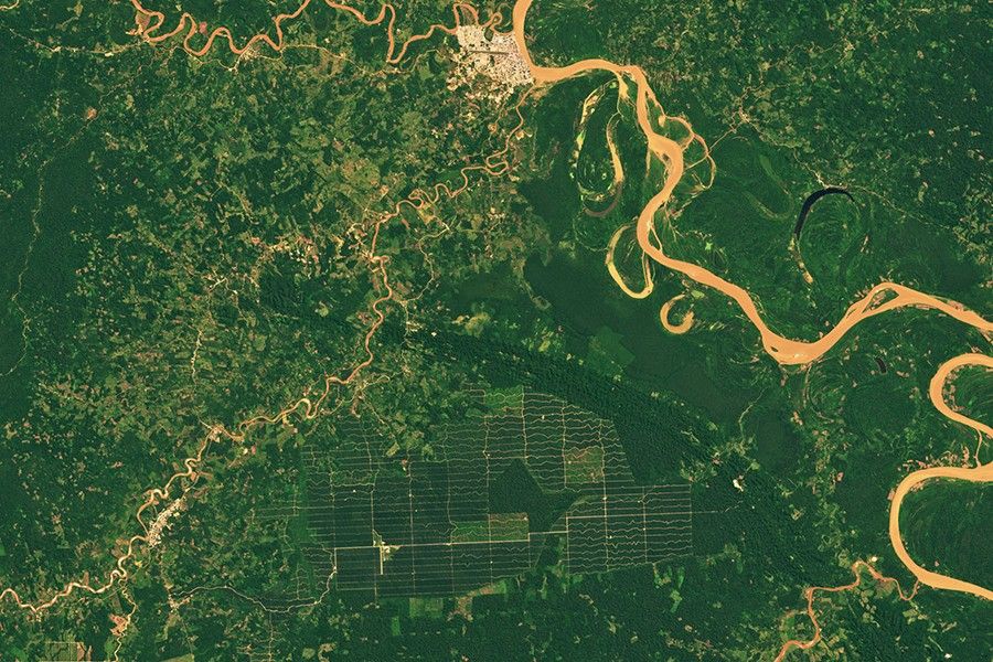
Quantifying the Rate and Extent of Ecosystem Disturbance and Re-growth
Fire, insect outbreaks, and logging are among the processes that disturb forest growth, and they vary widely across the continent. They affect the amount of carbon in the atmosphere. Disturbance events tend to emit carbon to the atmosphere, and recovery from disturbance tends to sequester carbon from it. The Landsat-based Global Forest Change product and Landsat-based global mangrove maps are often key inputs for global carbon accounting models. Data analysis of North American forests showed common disturbance rates of 2–3% per year; this has helped reduce carbon cycle uncertainties for the continent.
Tracking Species Distributions
When non-native species of plants and animals invade an ecosystem, they can marginalize native species and harm the ecosystem. According to a 2005 study, the U.S. spends $120 billion per year dealing with invasive species, often exceeding the cost of all other natural disasters combined. Landsat provides key data for mapping and assessing the ecological and biophysical impacts of tamarisk, kudzu, cheatgrass, purple loostrife, and other invasive species.
Assessing Ecosystem Shifts
Ecosystems around the world are being impacted by climate change. Landsat data give researchers a long-term record to assess both system-wide changes and the shifting seasonal patterns that impact how ecosystems function. Landsat has alerted scientists to Arctic greening, California kelp forest collapse, and has shown that fires are burning at higher elevations than ever before in the western U.S. Landsat has also been used to help map and find new habitat for endangered species like the Yuma Ridgway’s rail.
Related Resources
- Satellites Enable Coral Reef Science Leap from Darwin to Online
- Quantifying Forests’ Impacts on Global Carbon Budget with Satellites
- Sensing Invasive Species From Space
Latest News

The Landsat satellite program, with its unparalleled 53-year historic record, can reveal changes through the Annual National Land Cover Database…
When the first Landsat satellite launched in 1972, it posed the following question: could we manage our natural resources using…
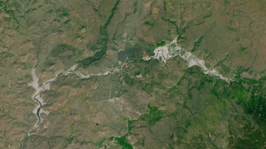
Between October 2023 and October 2024, the four dams of the Klamath Hydroelectric Project were taken down, opening more than…