Forest Management
Landsat equips forest managers with the necessary insights to conserve forests for timber production and biodiversity while combating threats like pest infestation and deforestation.
Landsat’s Role in Managing Forests
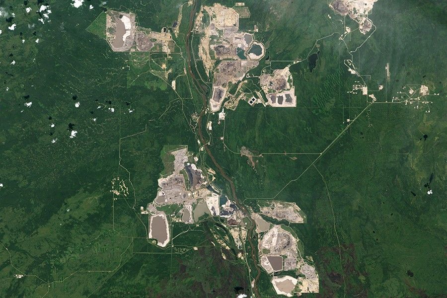
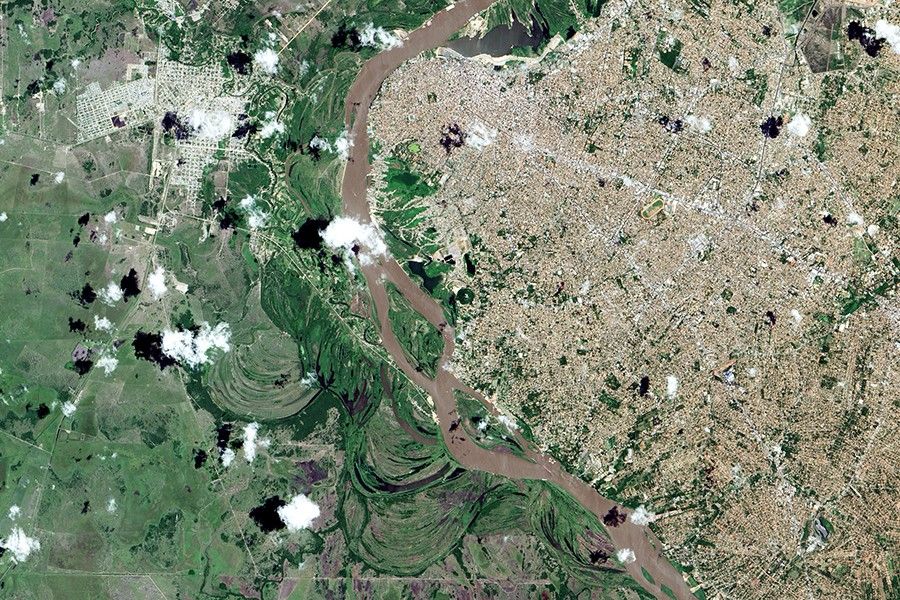
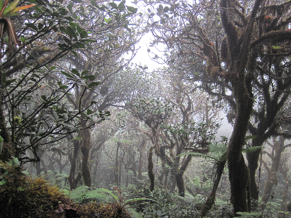
People and economies around the world rely on forests for timber, carbon storage, flood control, biological diversity, recreation, and more. Forest managers face many challenges. In the last few decades, forest fires have become more intense and more frequent; North American forests have experienced widespread infestations by pests such as the pine bark beetle; and tropical deforestation continues. Our changing climate adds complexity to government and commercial decisions about how to manage, protect, and sustain our forest resources.
Landsat satellites provide key data for forest monitoring and management across the globe. Landsat gives us consistent views of the health, composition, and extent of forest ecosystems as they change over time. Curtis Woodcock, Professor, Boston University and specialist in remote sensing, has said, “I would argue that the Landsat data archive may be the most valuable environmental data record we have.”
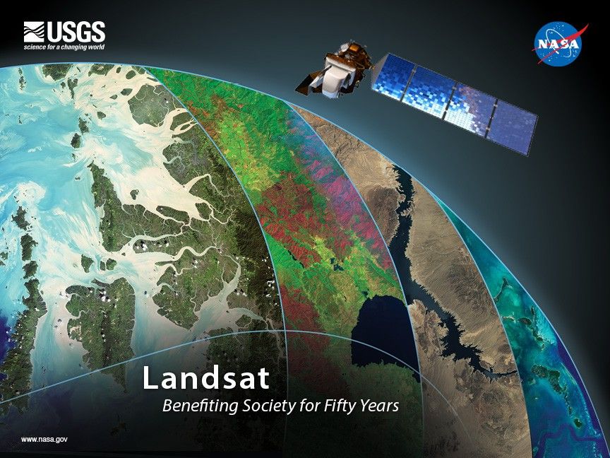
Designed, built, and launched by NASA, Landsat satellites have recorded global forest conditions every year since 1972, and they have observed all U.S. forests once a season throughout those years. The U.S. Geological Survey provides this valuable data to the public at no cost. Landsat observations continue into the future with the Landsat 9 satellite launched on Sept. 27, 2021.
Landsat Data for Local and Global Decision-making
- Improving industrial forest inventory and management
- Mapping insect and disease risk
- Evaluating forest health and wildlife habitat
- Conducting global assessments for forest inventory and carbon accounting
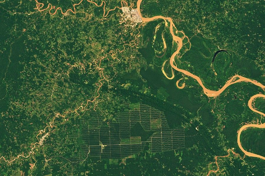
- Measuring and assessing the effects of tropical deforestation
Improving Industrial Forest Inventory and Management
Commercial foresters use Landsat data to improve the precision of forest inventories for predicting tree growth and product yield. Landsat estimates of leaf area are used to help maximize harvestable timber, while minimizing cost and potentially harmful environmental effects from over-application of fertilizer or herbicides.
Mapping Insect and Disease Risk
Tent caterpillars, bald cypress leaf rollers, pine bark beetles, and other insects attack our forests in wide swaths. Specialists use Landsat with additional predictor variables to map and monitor such damage and to predict where the pests may strike next, creating highly useful products such as the U.S. Forest Service’s Nationwide Insect and Disease Risk Map.
Evaluating Forest Health and Wildlife Habitat
Assembled mosaics of Landsat maps provide excellent foundations for foresters to conduct statistical estimations of forest conditions such as fire hazards, and to analyze different forest policy effects on landscapes. Management plans for birds such as Kirtland’s warbler, grizzly bears, and other wildlife incorporate Landsat data because of its ability to detect changes in forest habitats over time.
Conducting Global Assessments for Forest Inventory and Carbon Accounting
Landsat provided essential information for the Global Forest Resources Assessment 2010. The assessment, done by the Food and Agriculture Organization of the United Nations, was the most comprehensive global look at the world's forests. Before the use of Landsat, differences among countries' data sets introduced great uncertainty. Landsat data was again used for the 2020 assessment.
Related Resources
- Global Forest Resources Assessment 2020
- US Forest Service National Insect & Disease Risk andHazard Mapping
- Tracking Amazon Deforestation
Latest News

The Landsat satellite program, with its unparalleled 53-year historic record, can reveal changes through the Annual National Land Cover Database…
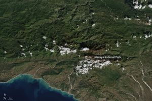
Haiti lost nearly half of its primary forests between 1996 and 2022, with fires and tree-cutting being major drivers of…
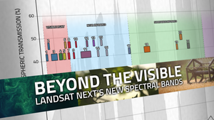
With Landsat Next’s 26 new spectral bands, we’ll be able to see our planet like never before. Landsat Next’s enhanced…