Q&As
Understand Landsat through the stories of those who know it best. Hear from experts in precision agriculture, wildfire assessment, forest inventory, and water quality monitoring about how they integrate decades of Landsat data into their daily operations. Users share their methods, discuss analyses, and explain how consistent satellite observations enhance their ability to manage resources and respond to environmental changes.
Latest News

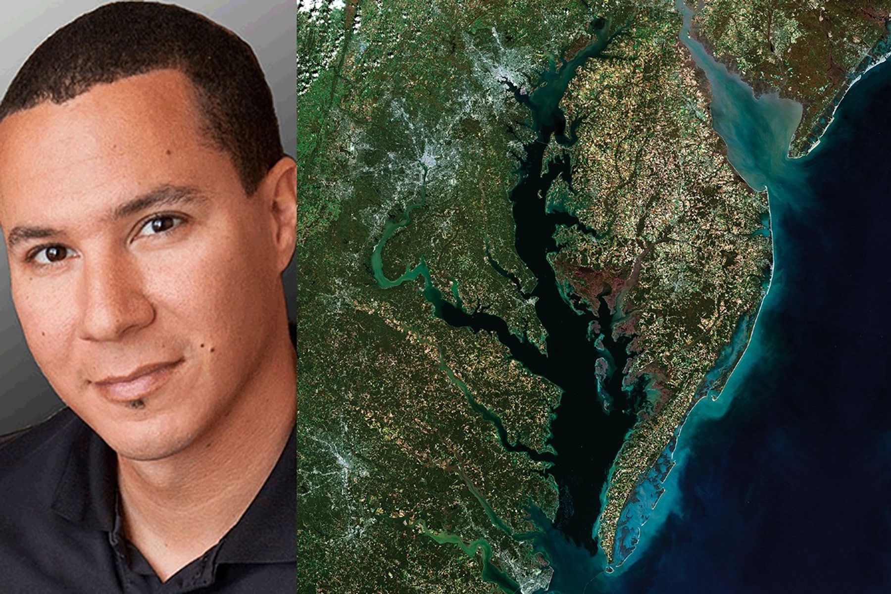
As an avid Landsat user and an expert in commercial satellite data, Dr. Francois Smith spoke to how the private…
Dana Ostrenga, the Commercial Satellite Data Acquisition program Project Manager described how government and commercial Earth observation satellites complement each…

Why do we calibrate Landsat data? We spoke with Brian Markham, a key figure of Landsat calibration science for four…