


Multimedia
Explore high-resolution Landsat imagery, animations, and visualizations that are presentation-ready, free to use, and designed to bring Earth’s story to life. All multimedia products on this site derived from Landsat data are public domain. And unless a product is specifically credited to a non-NASA author, it may be used without permission with an attribution to "USGS/NASA Landsat" as the data source. See NASA Media Usage Guidelines for more information about NASA content.
Imagery & Inspiration
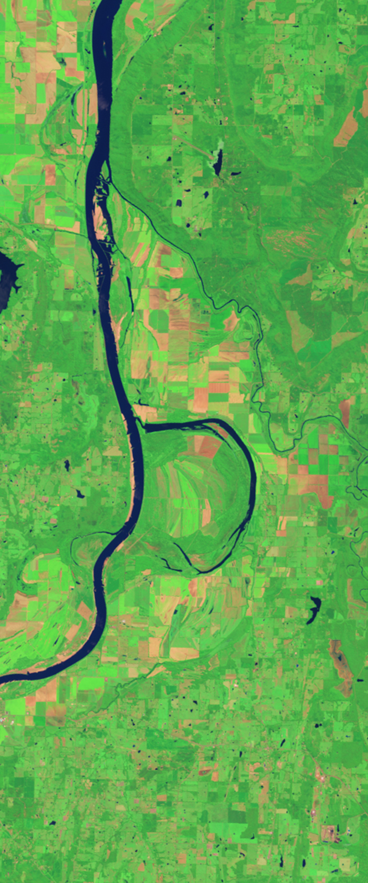
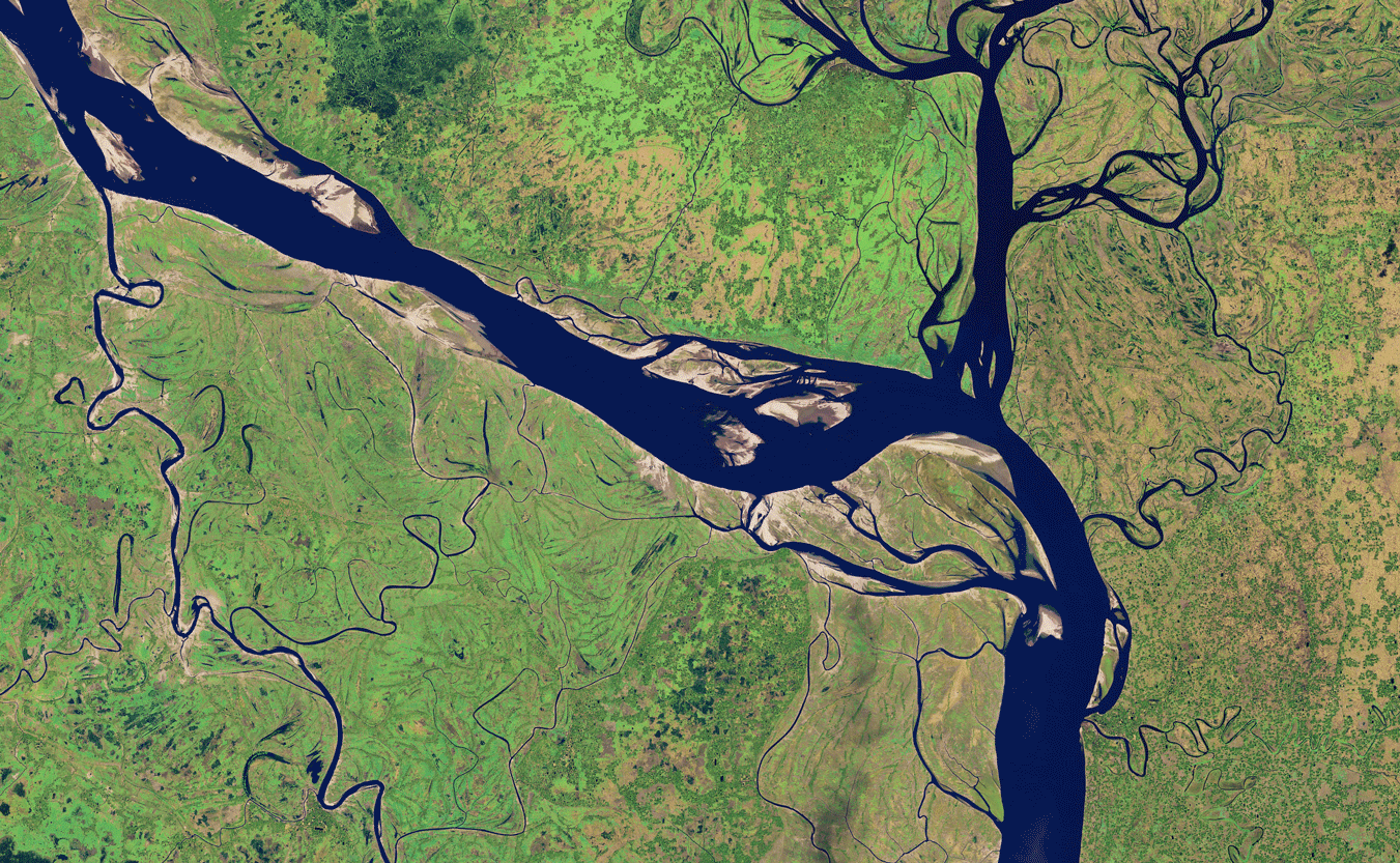
Landsat Images
Breathtaking Landsat imagery that showcases the beauty and diversity of Earth’s surface.
Virtual Backgrounds and Wallpapers
Share the beauty and color of Landsat images on your computer or phone.
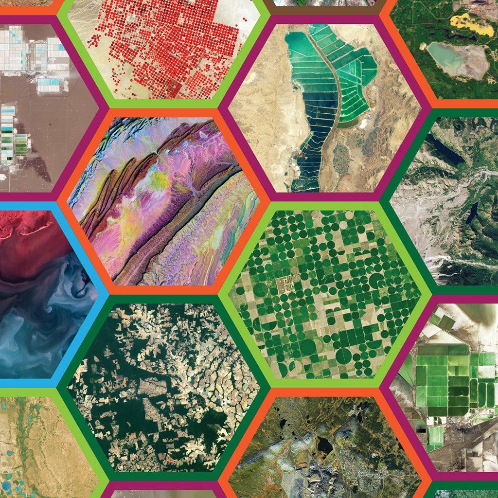
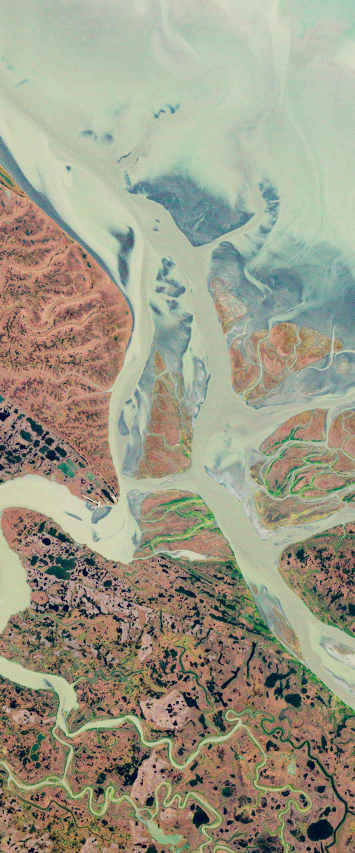
USGS Earth as Art
Earth imagery of river deltas, deserts, and icy peaks resembling works of art.

'Your Name in Landsat' Image Gallery
High-resolution Landsat images showcasing natural formations that resemble letters of the alphabet, as featured in the interactive "Your Name in Landsat."
Your Name in Landsat Image Gallery


Change Over Time
Landsat Time Series
This gallery contains time series animations which utilizes the extensive Landsat data archive of Earth’s surface. Watch seasonal shifts in cropland, long-term coastline change, and more.
Earth Observatory's World of Change
See Earth’s transformation in NASA Earth Observatory’s World of Change gallery, featuring time series from Landsat and other satellites.
USGS Earthshots
See land change in action with satellite images from over 100 locations around the world, plus insights into the forces shaping our planet.
Visualizations & Animations
Science Visualization Studio
A collection of Landsat related videos, animations, and imagery on NASA’s Scientific Visualization Studio (SVS).
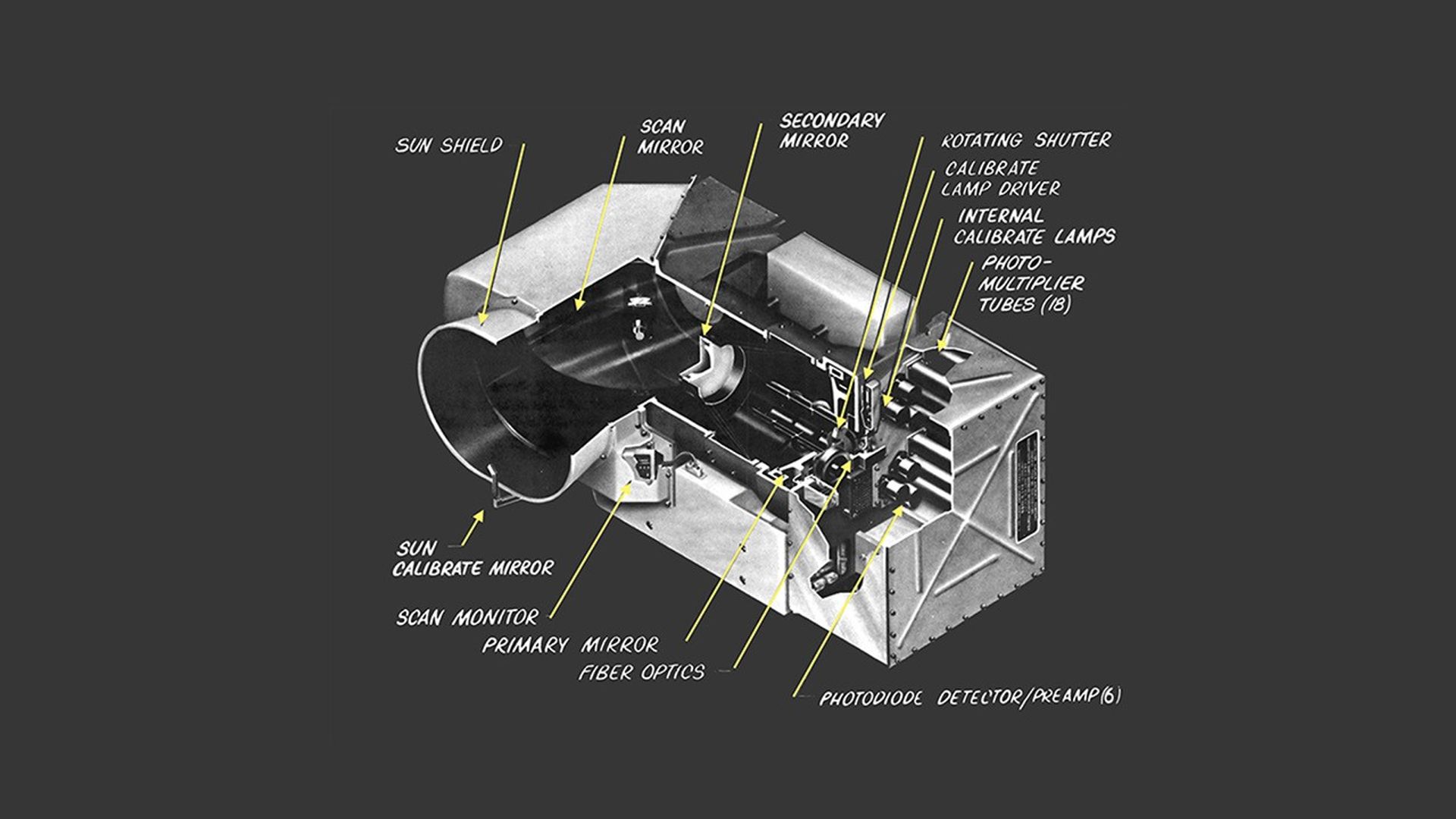
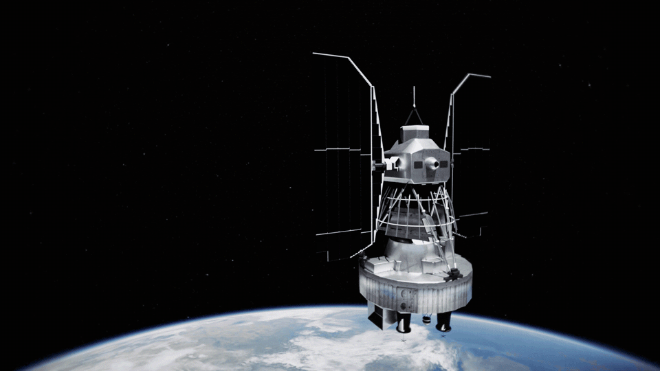
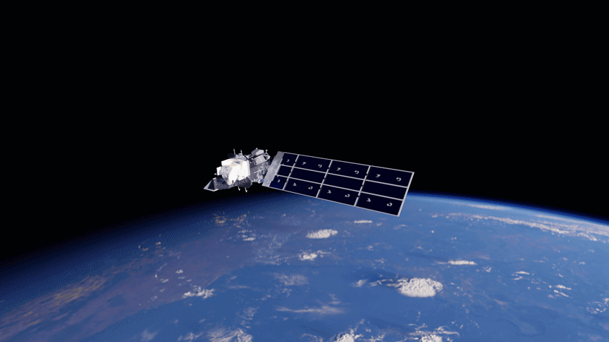
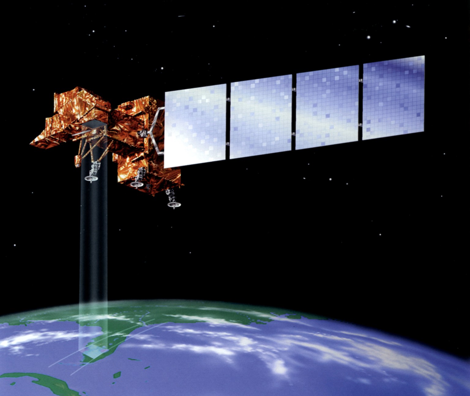
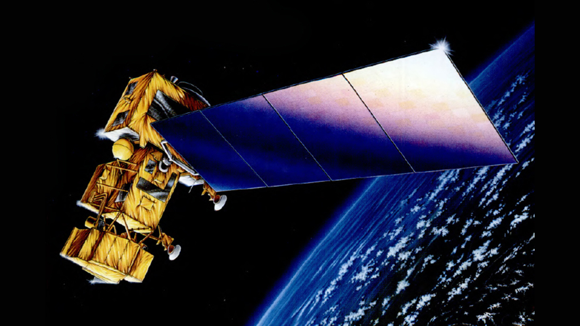
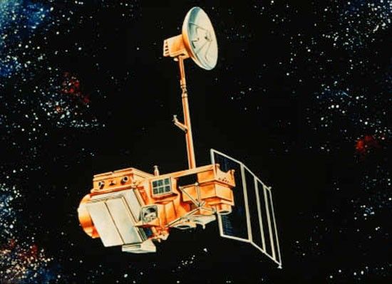
Landsat Diagrams and Technical Illustrations
This gallery includes Landsat technical illustrations, diagrams, sensor schematics, and orbital visualizations.
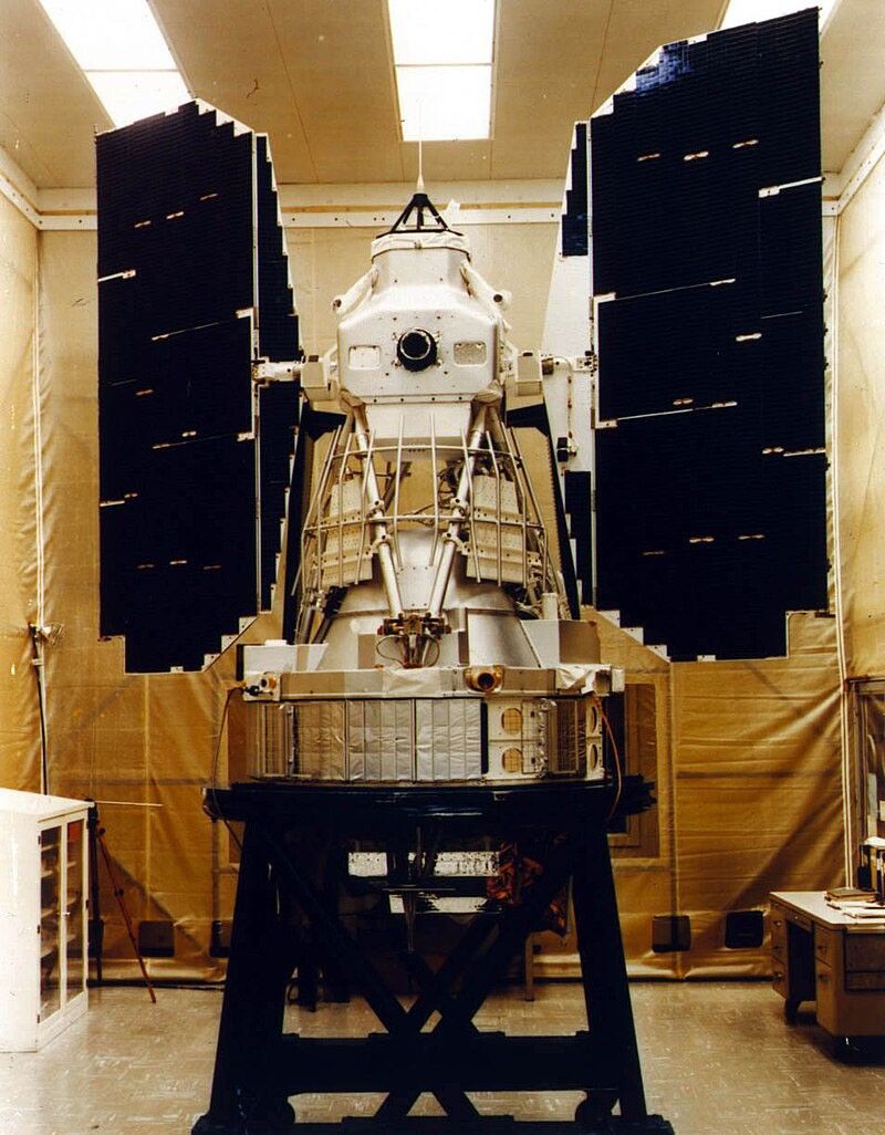
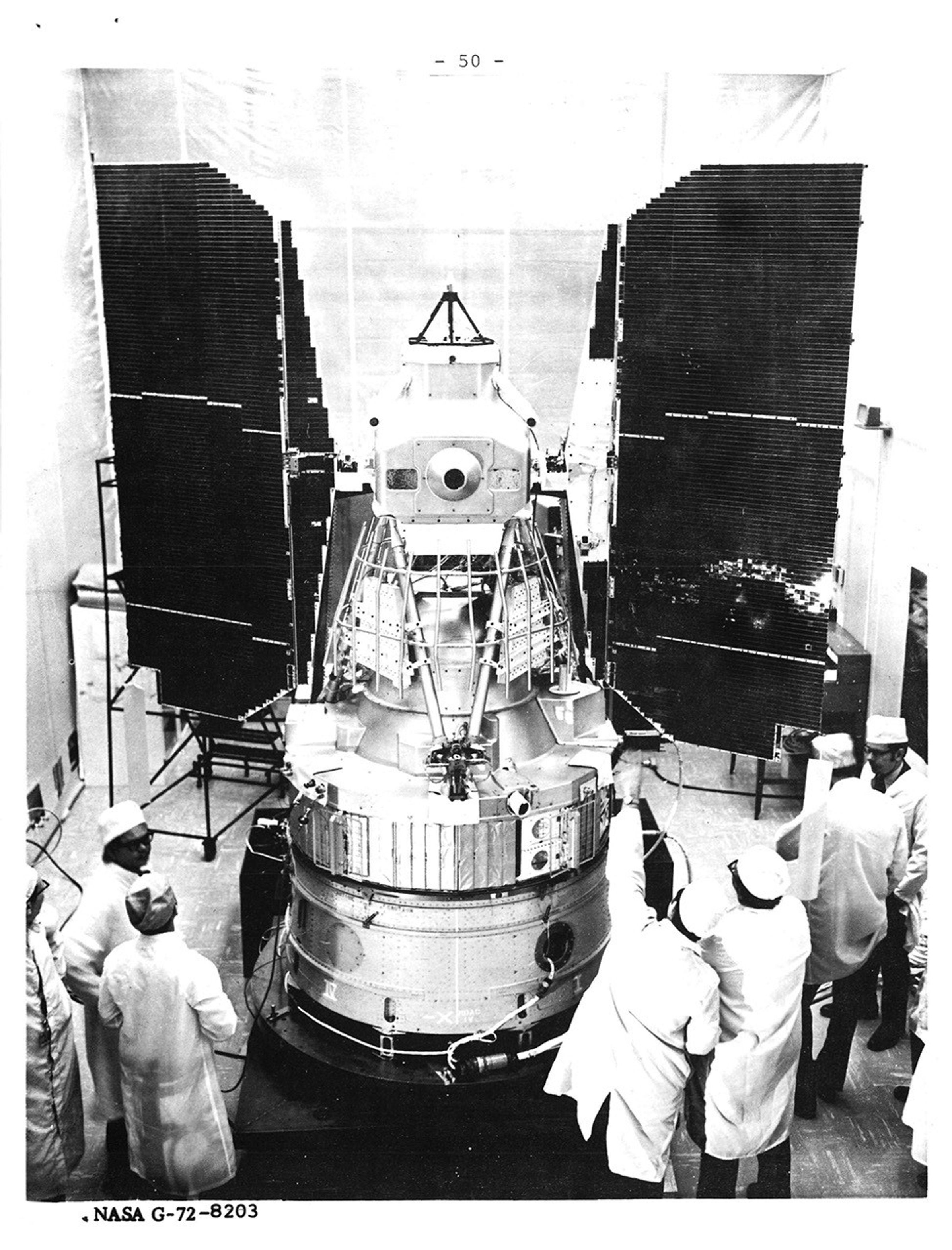
Mission Graphics Libraries
The following graphics libraries showcase animations, images, spacecraft models, diagrams, and more for each Landsat mission.


Latest Imagery
Stay up-to-date with the latest imagery from the Landsat mission.

Lava encroaches on the Blue Lagoon, a popular tourist destination in Iceland, in this Nov. 24, 2024, Landsat 9 image…
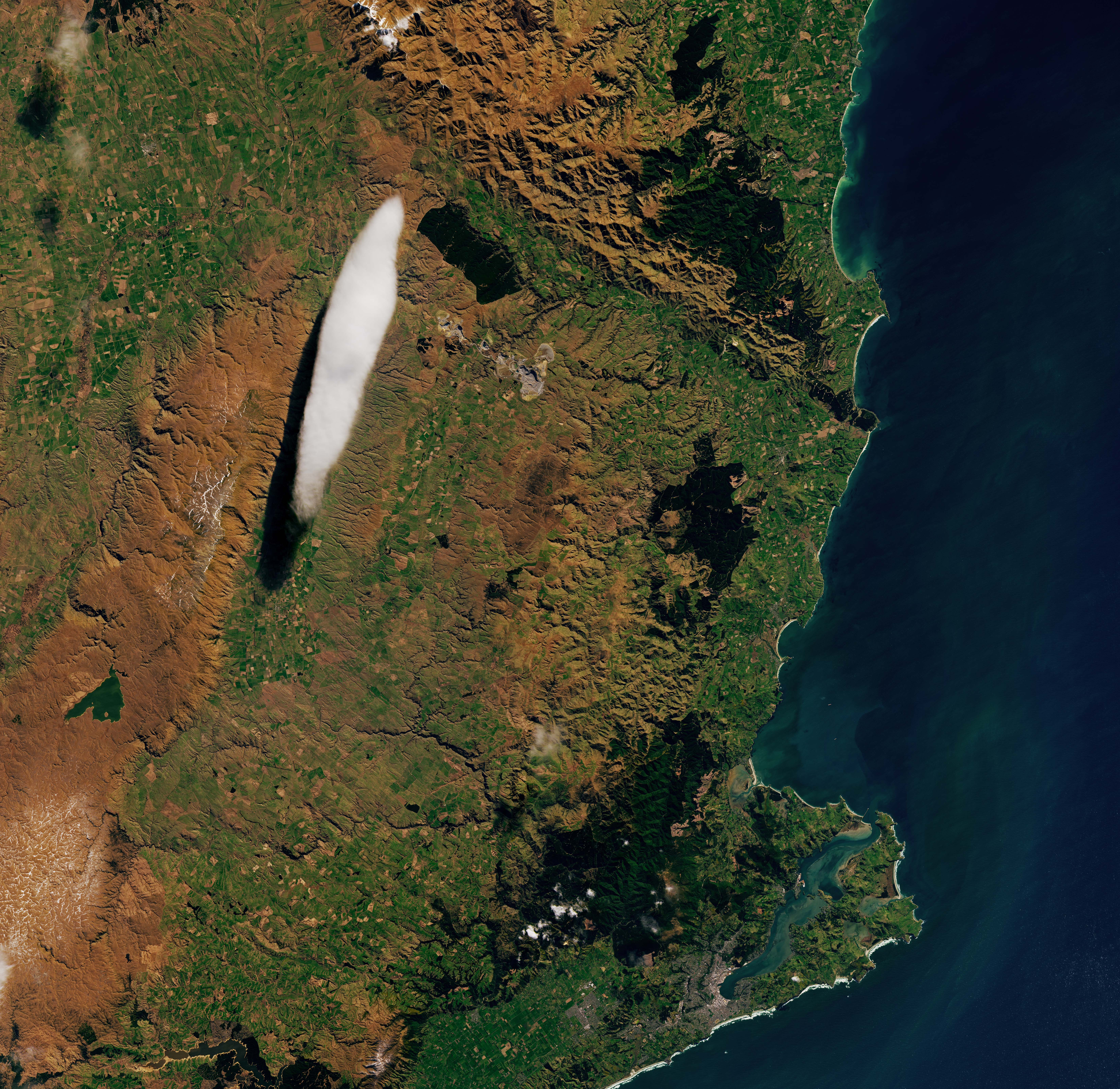
Landsat 8’s Operational Land Imager acquired this image of an elongated lenticular cloud, locally nicknamed the “Taieri Pet,” above New…
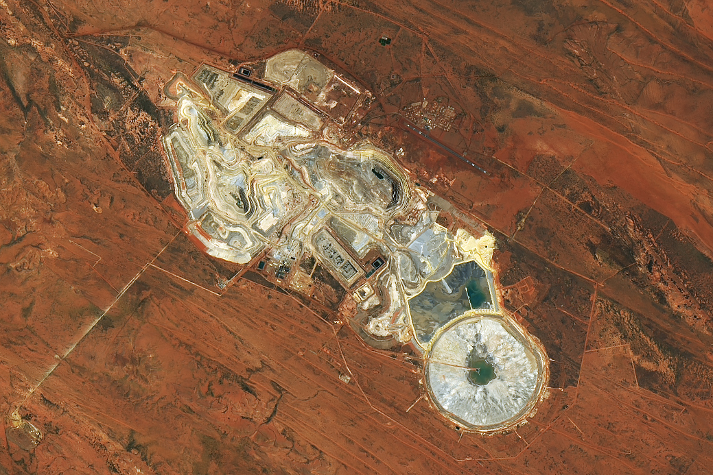
Landsat 9’s Operational Land Imager-2 captured this image of the open pits and ponds of Telfer Mine and the surrounding…
At Land's Edge - Tracking Coastal Ecosystem with Landsat
Coastal ecosystems store carbon, buffer storms, and shelter marine life—but they’re also among the most threatened environments on Earth. For over 50 years, the NASA–USGS Landsat program has tracked their health, from monitoring Florida’s mangroves after hurricanes to uncovering the surprising growth of eelgrass meadows in Canada. Today, Landsat even powers tools like STREAM, putting coastal water quality data at your fingertips.
Learn MoreLandsat Presentations
Landsat presentation library featuring graphics resources and ready-to-use slide decks covering 50 years of Earth observation history, technology, and applications.
Explore