


Your Name in Landsat
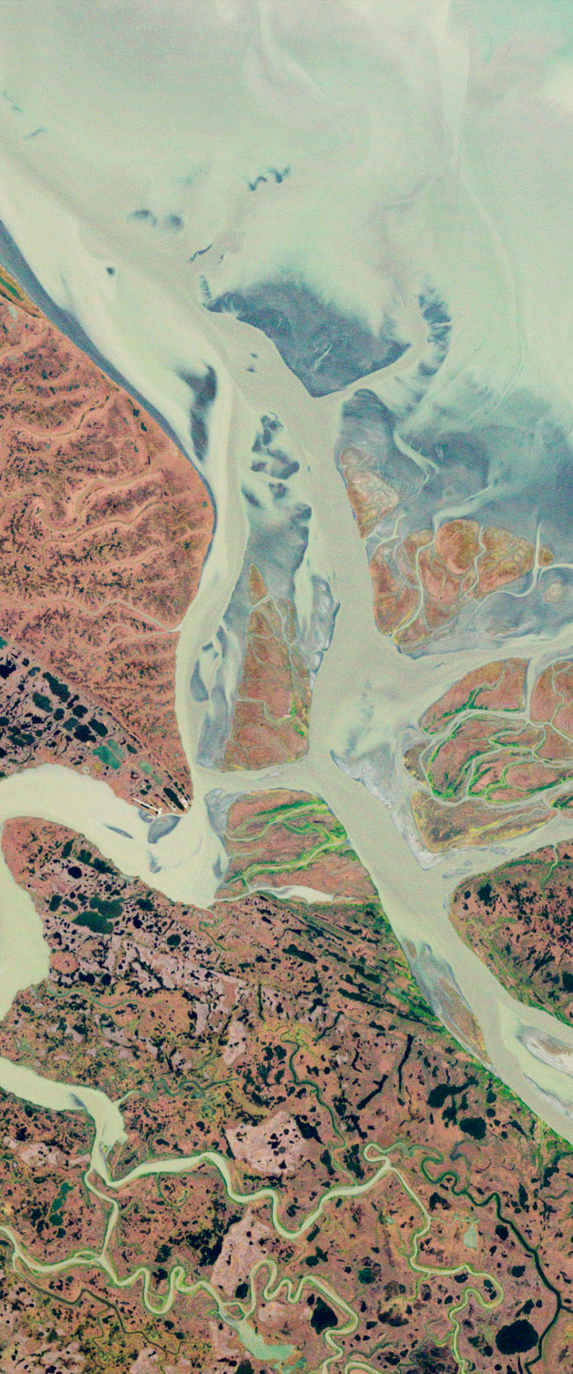
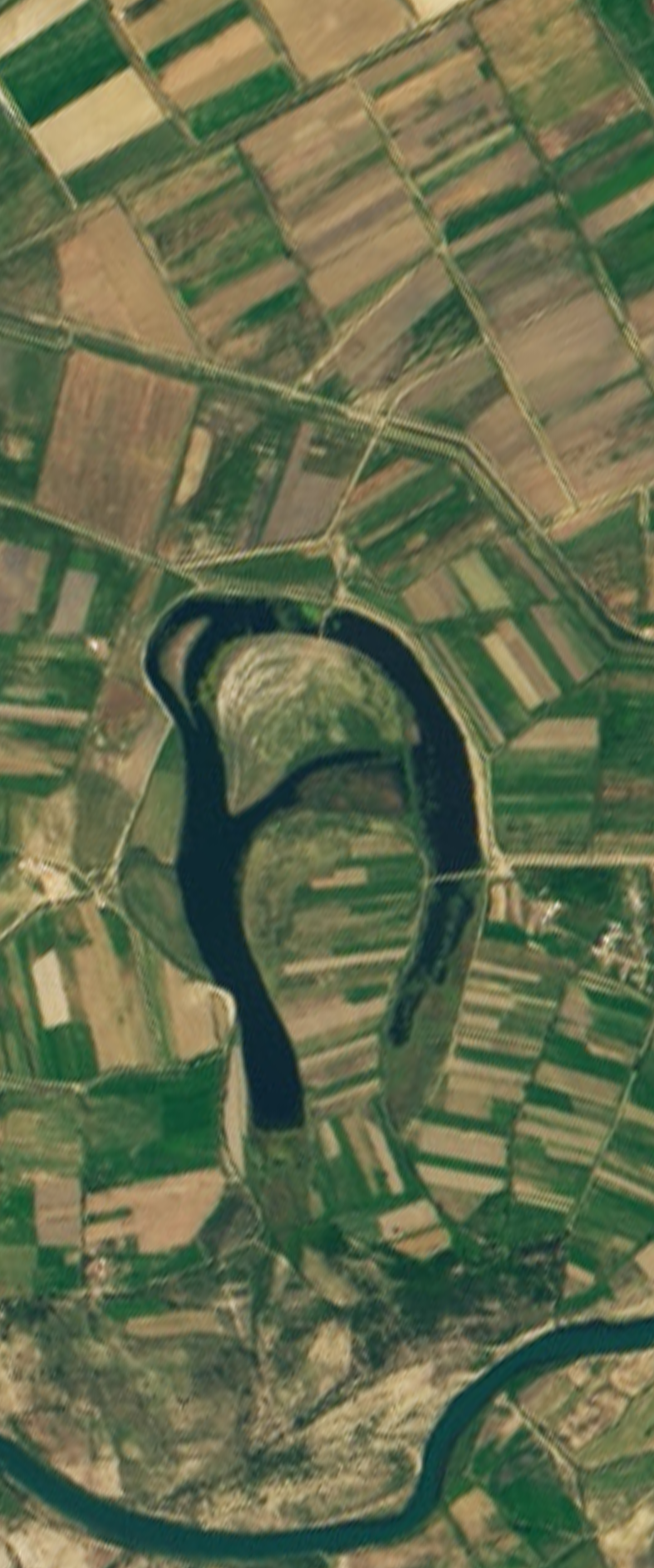
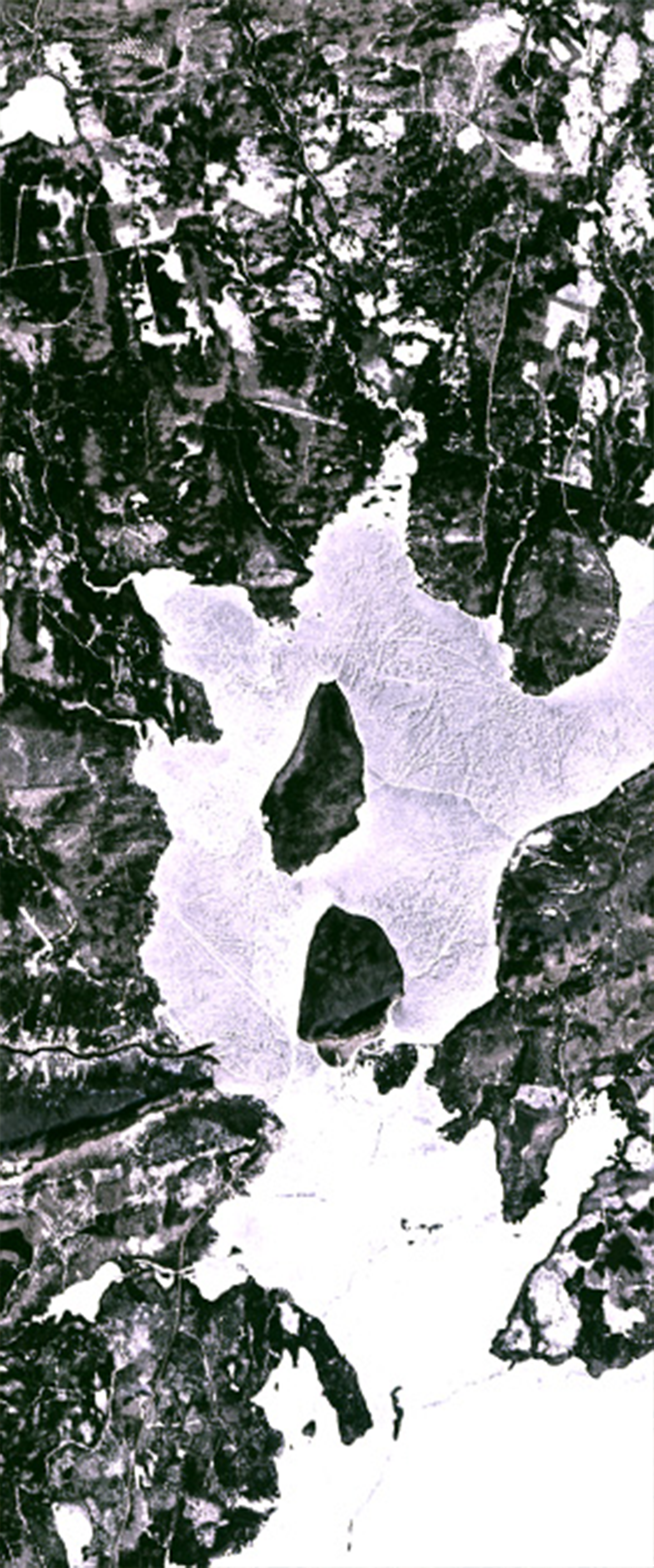
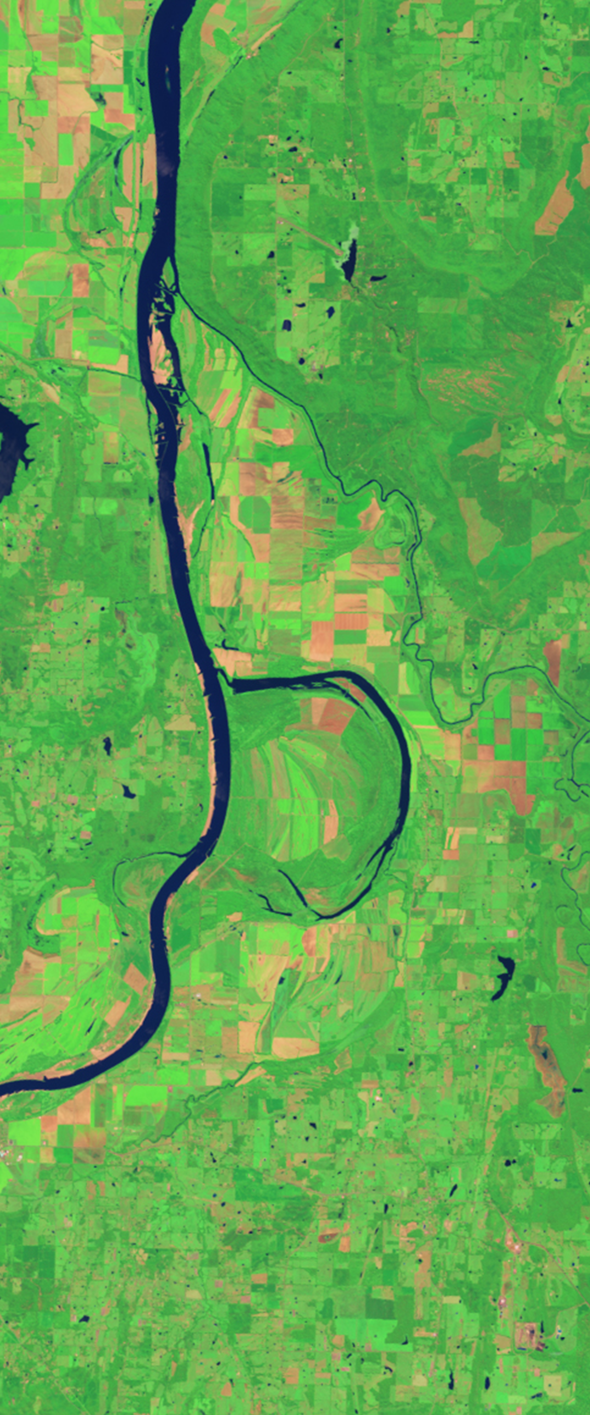
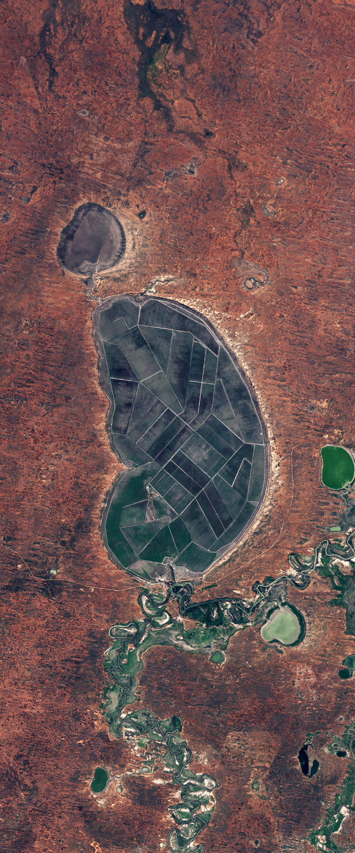
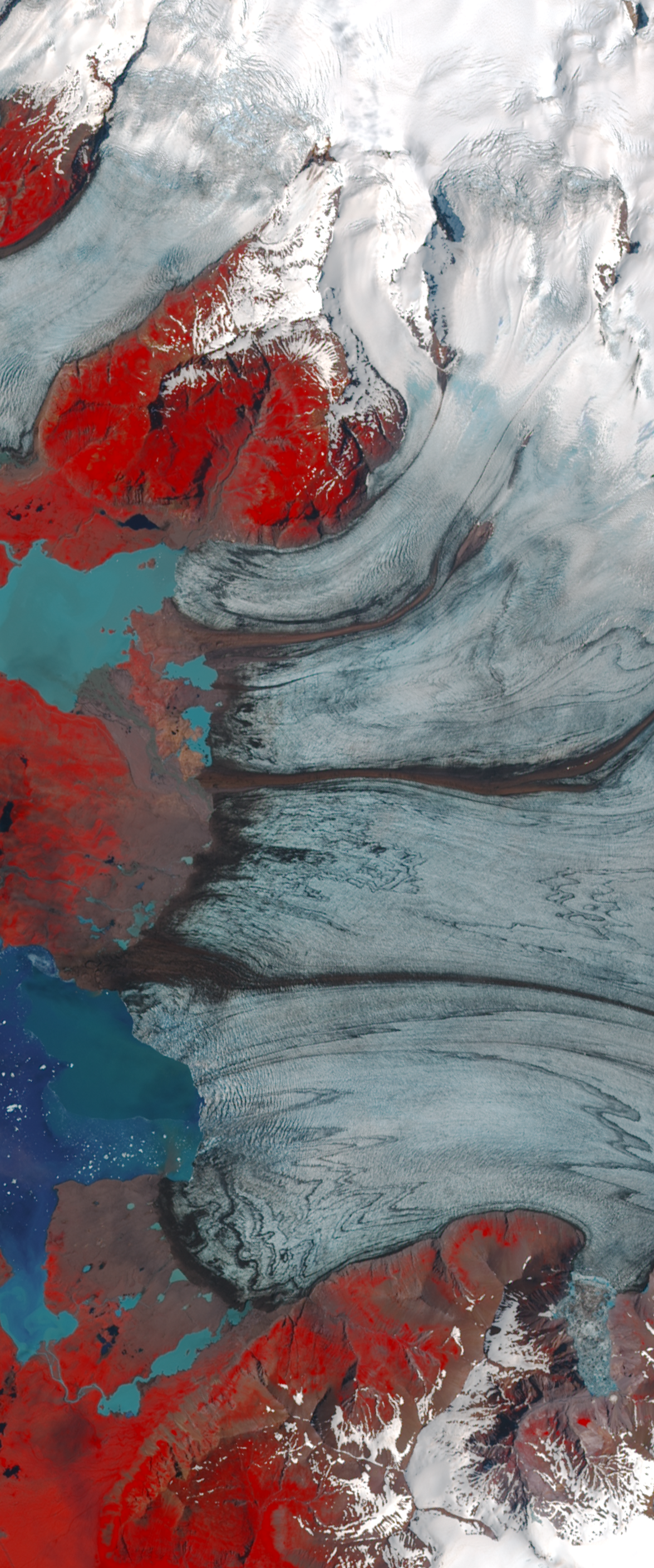
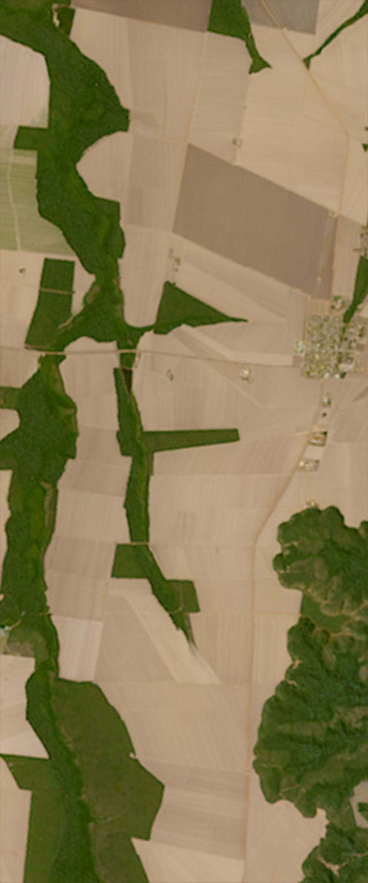
With this online interactive, users can type in their name then view and export the graphic of that name spelled out in Earth features found in Landsat images.
About
Age Level: 10+
Setting: Small group, individual
Type: Interactive
Topics: Land cover
Estimated Time: <5 min
About
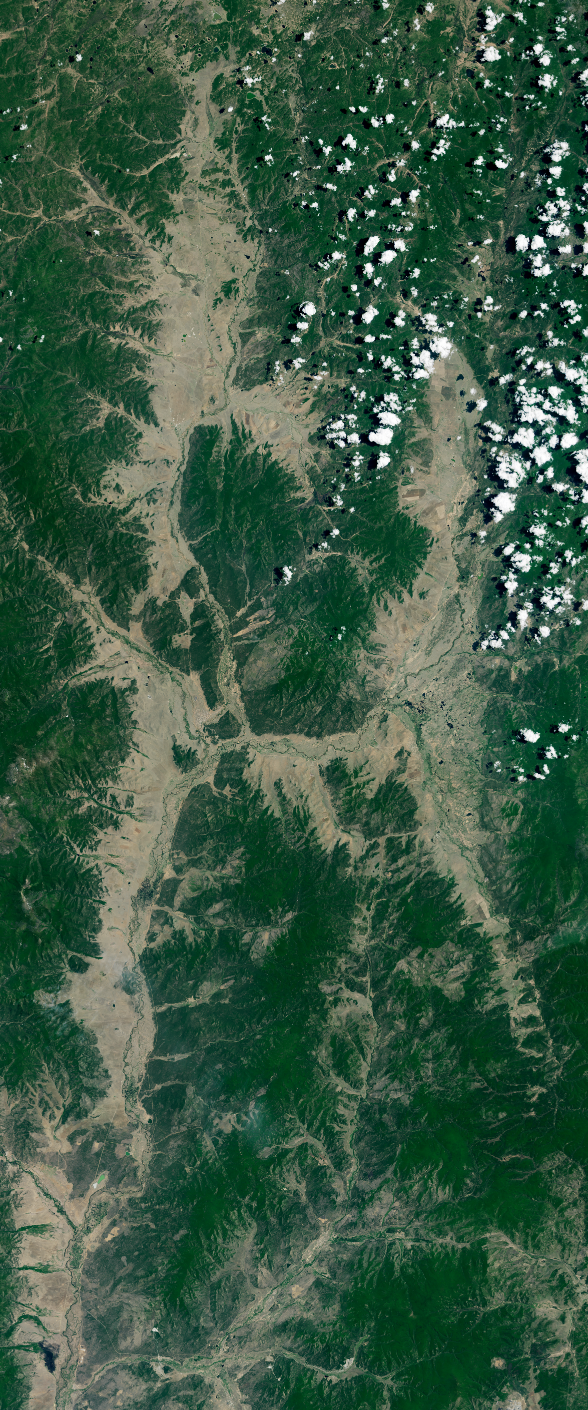
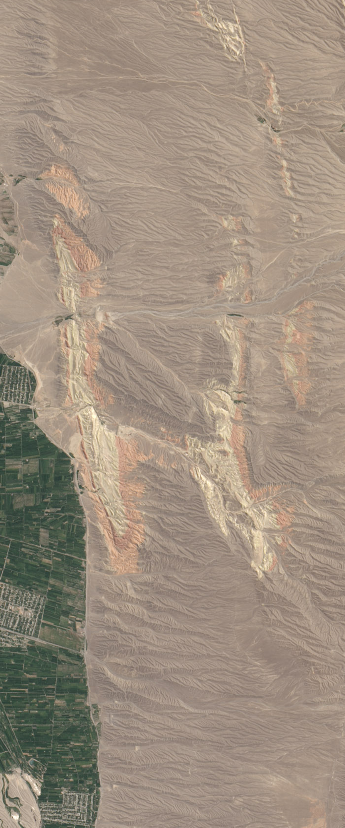
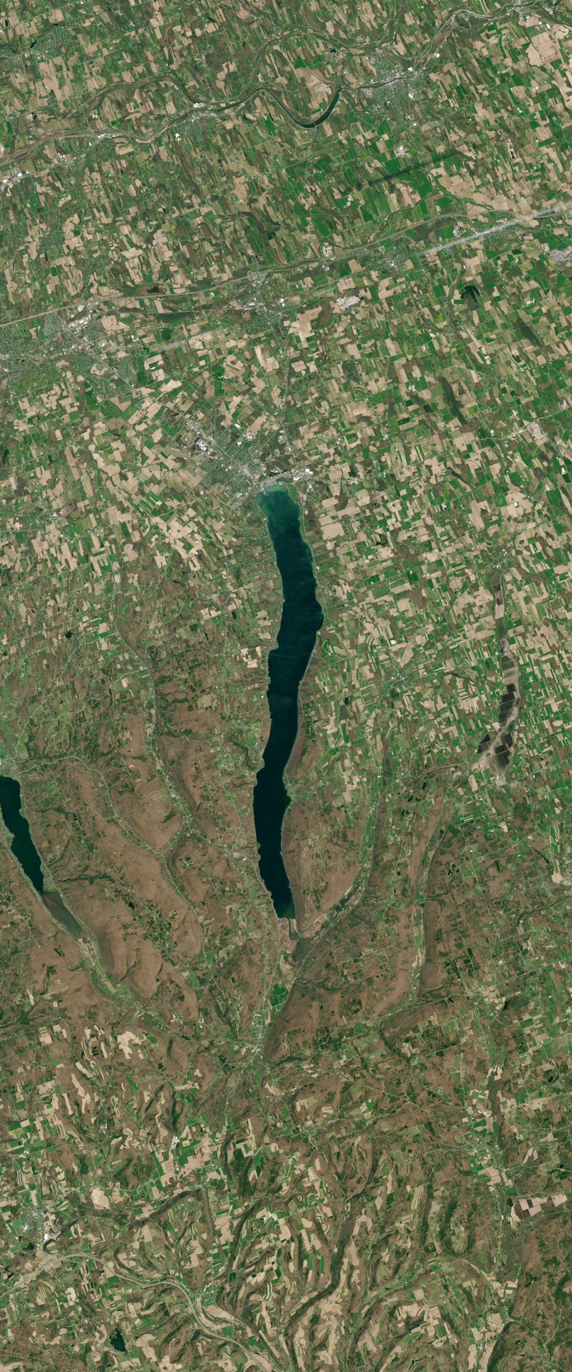
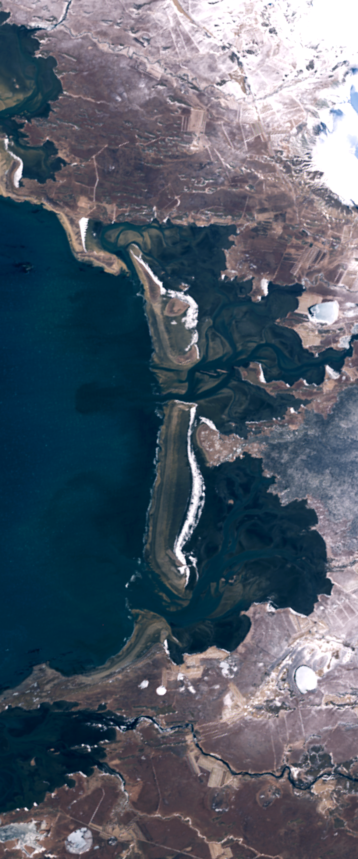
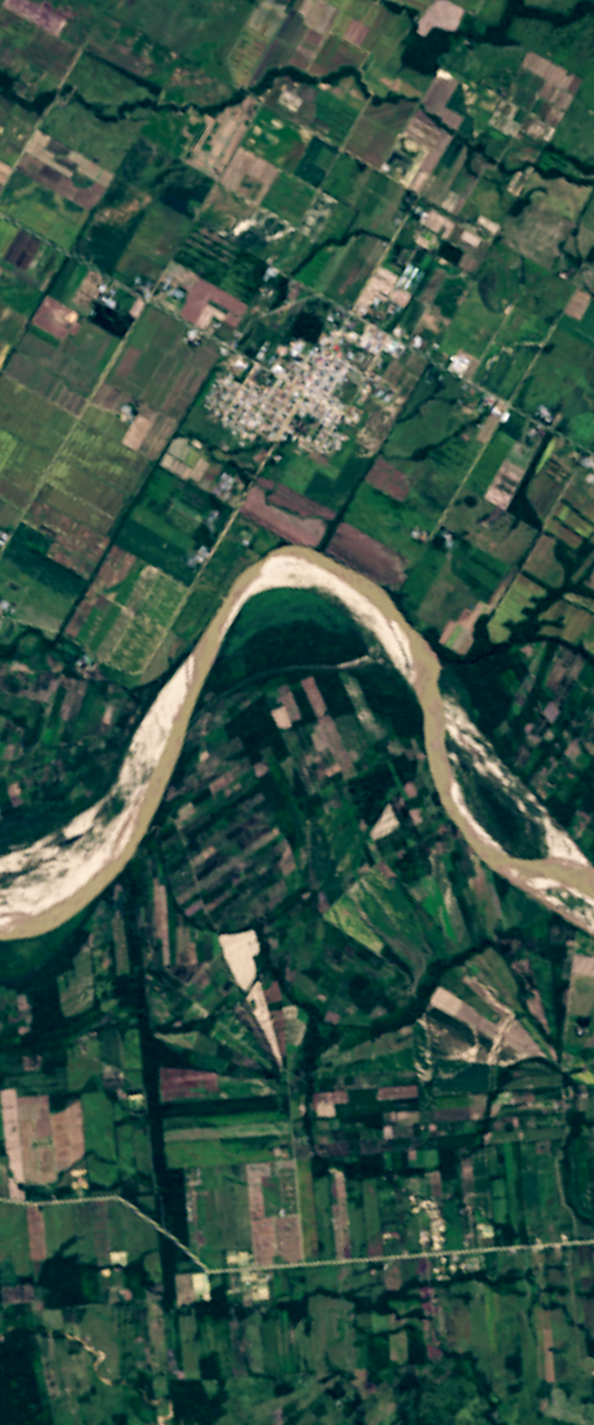
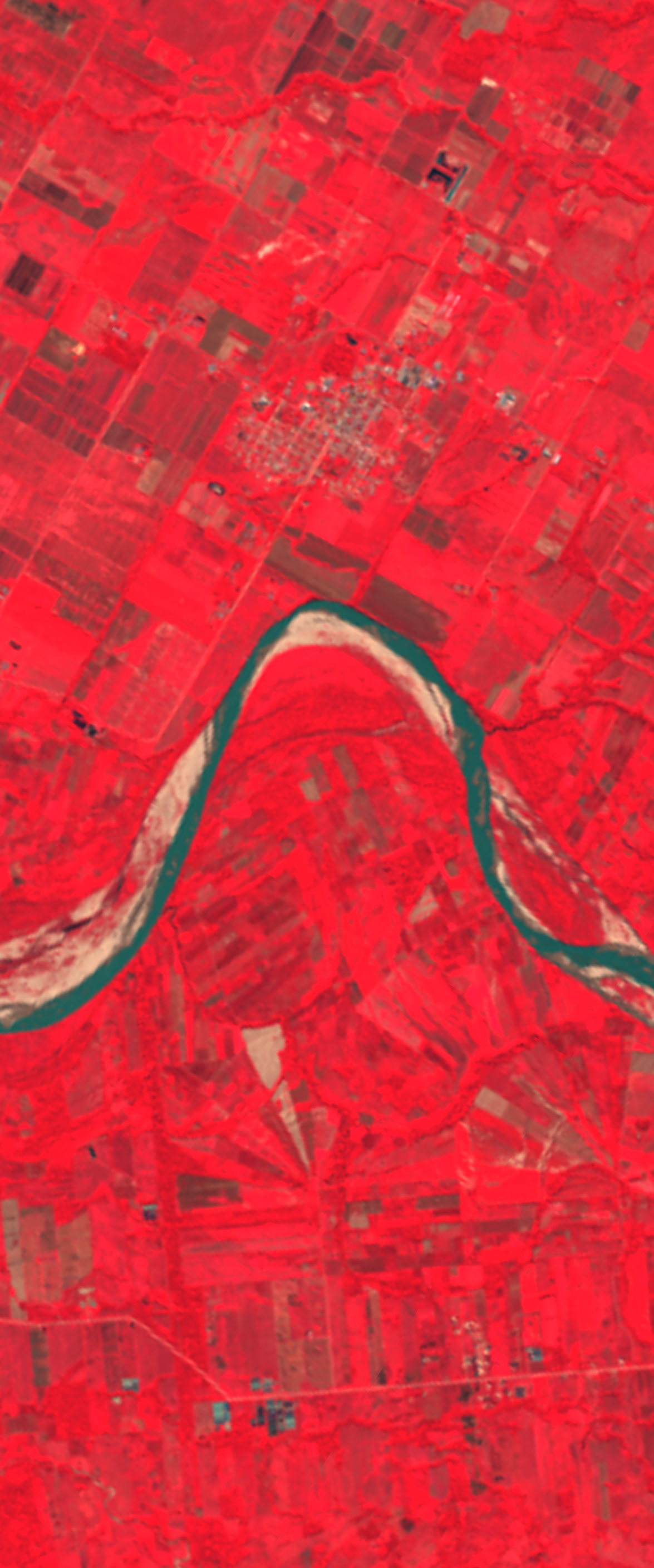
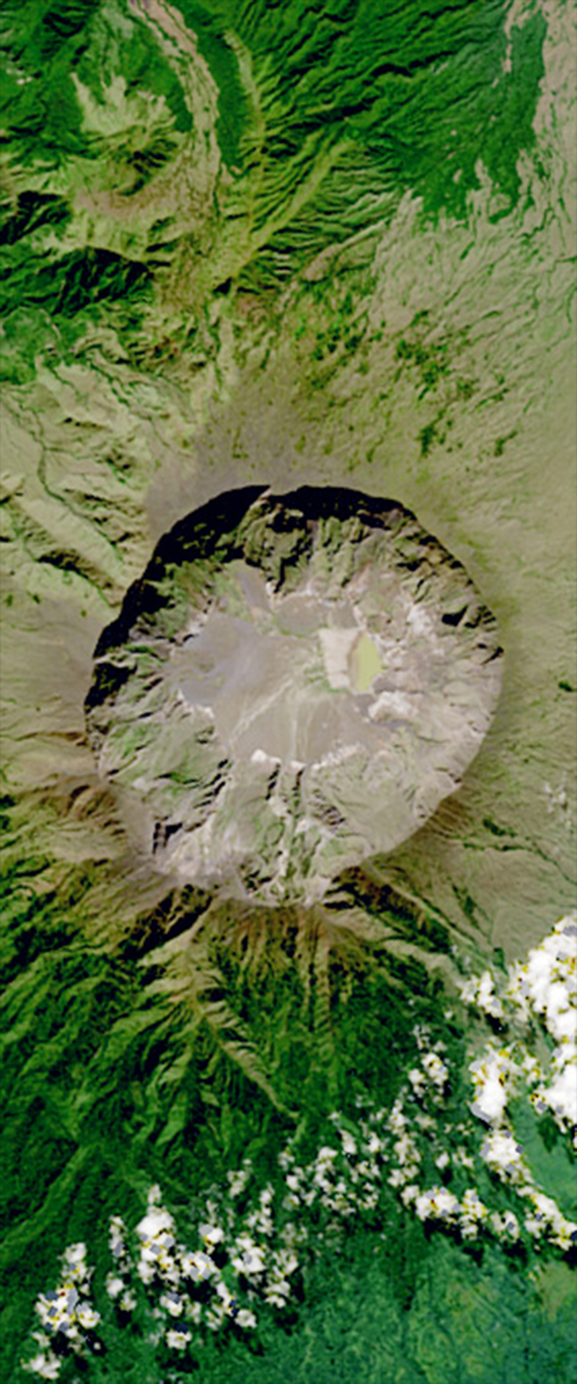
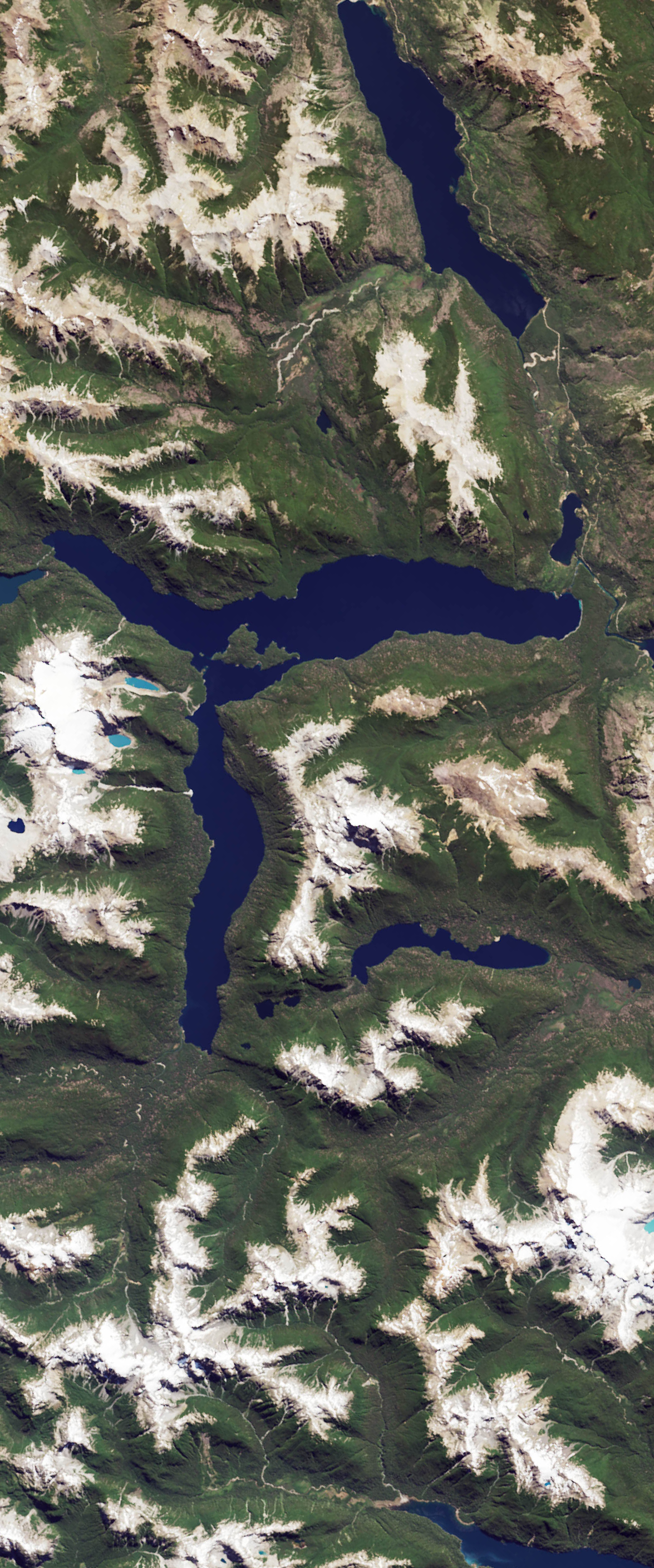
The satellite images used in this interactive are part of Landsat's extensive record, spanning more than 50 years.
These Landsat satellite images were sourced from NASA Earth Observatory, NASA Worldview, USGS EarthExplorer, and ESA Sentinel Hub, and are available for download.
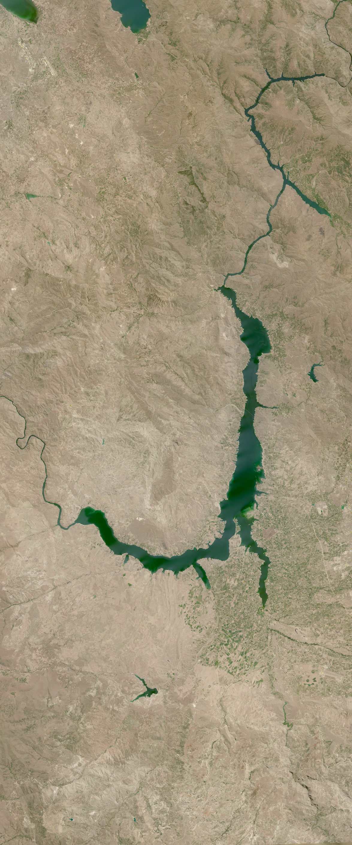
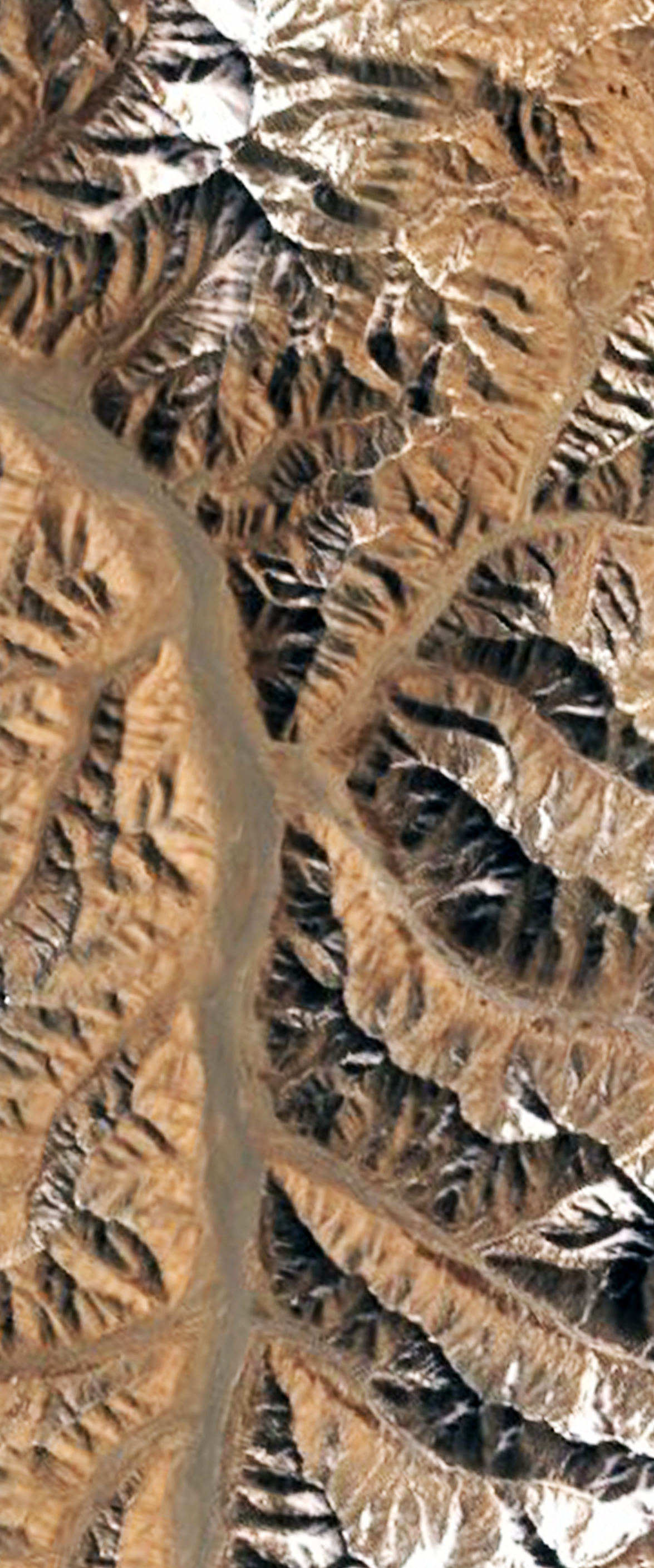
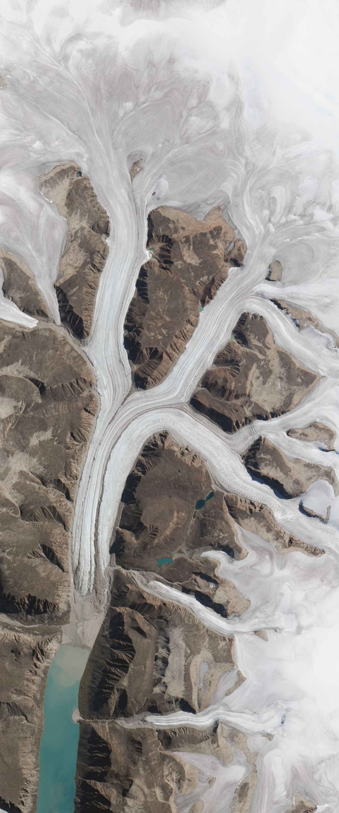
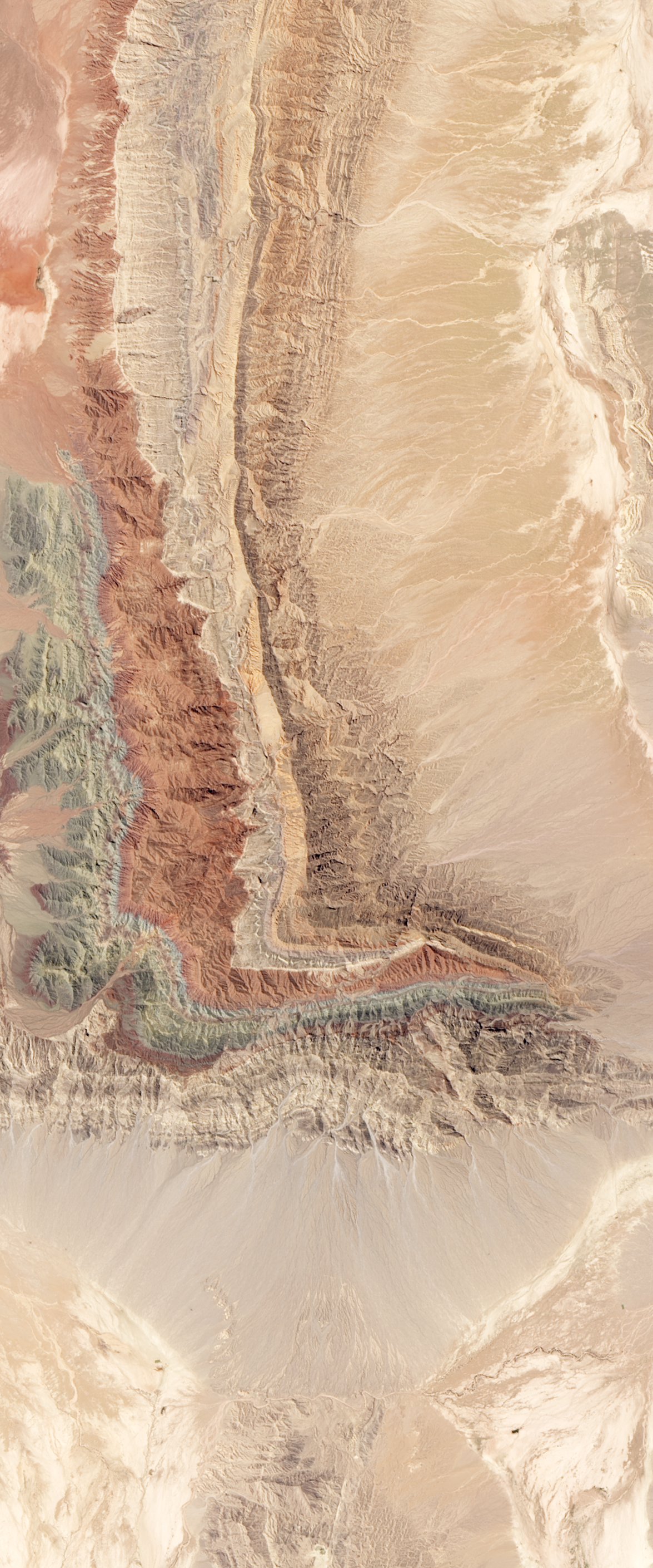
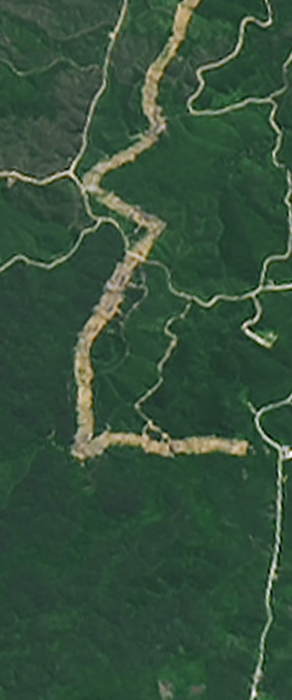
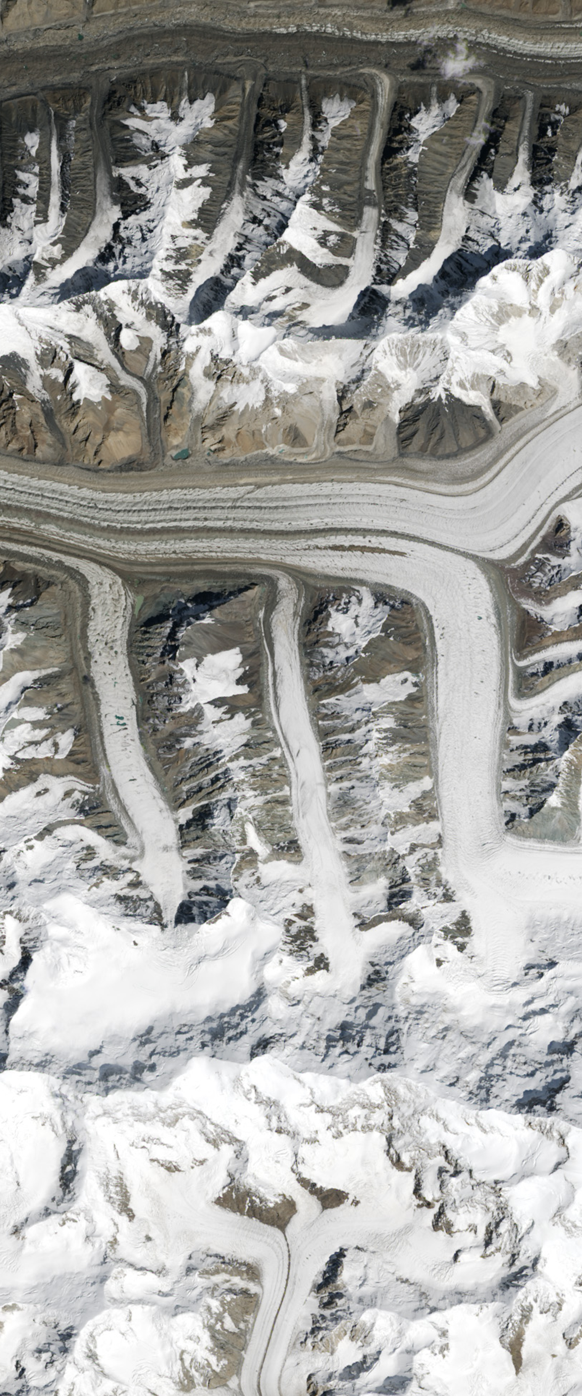
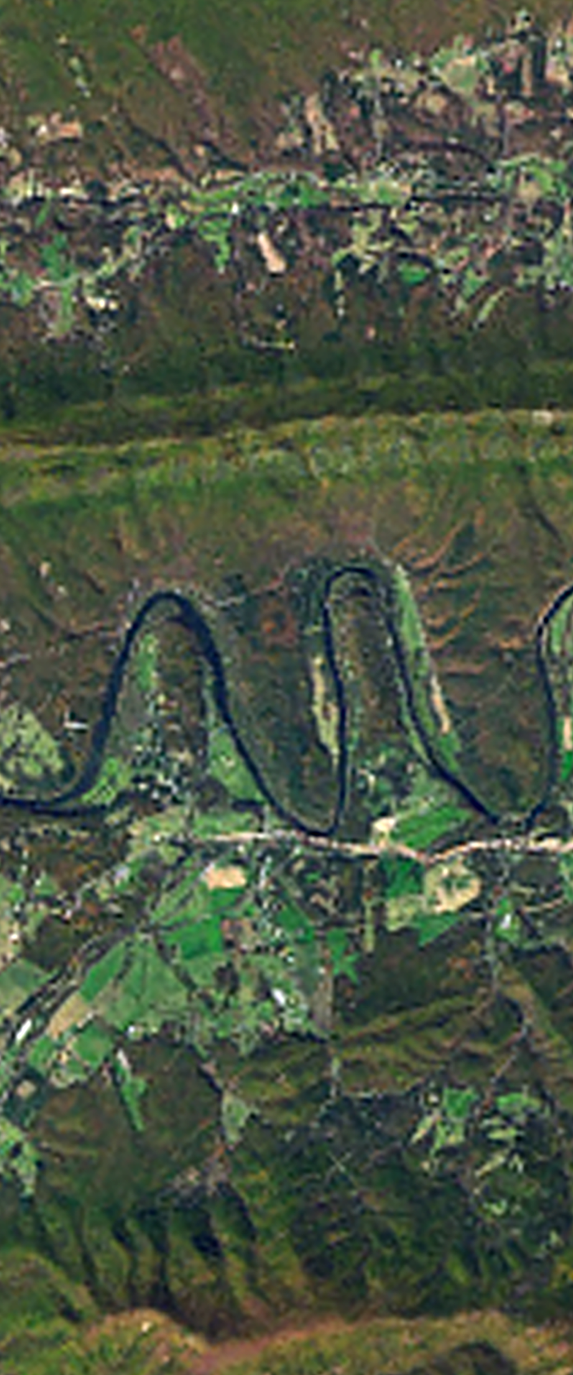
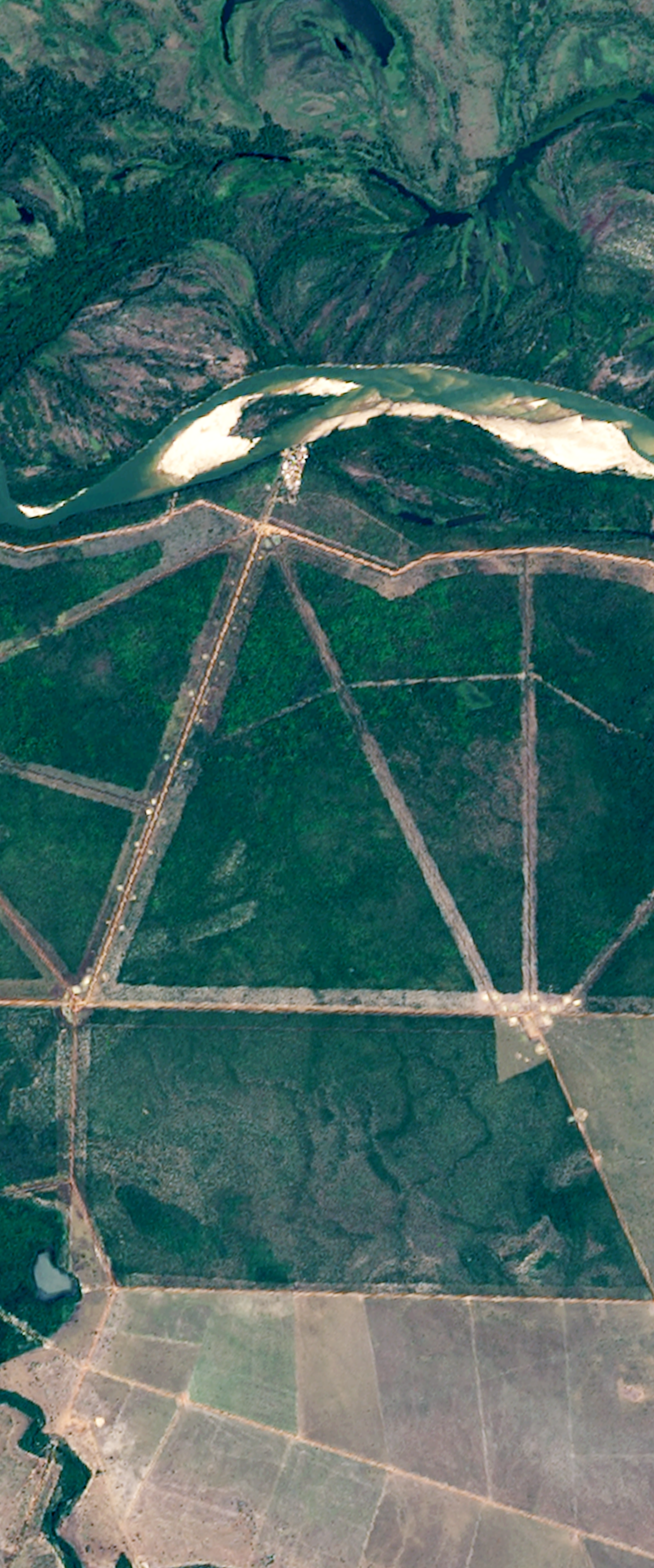
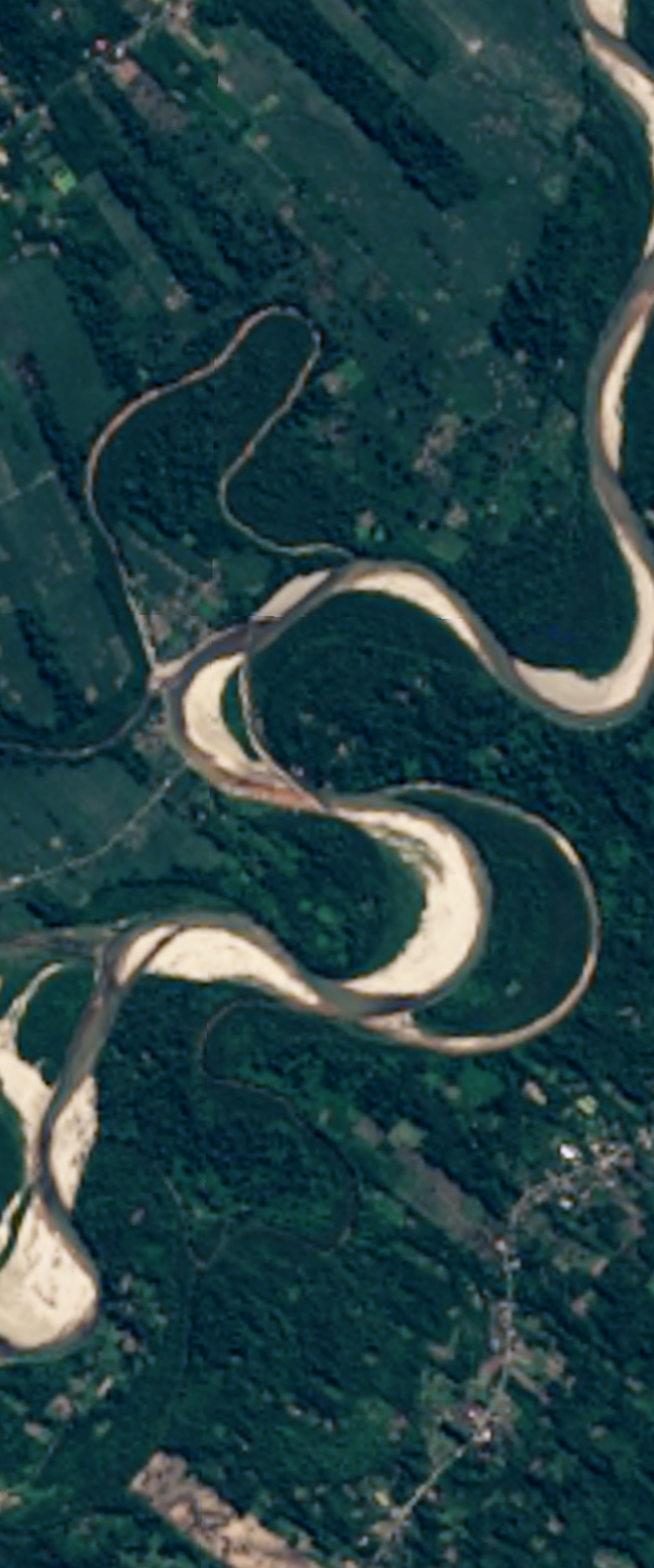
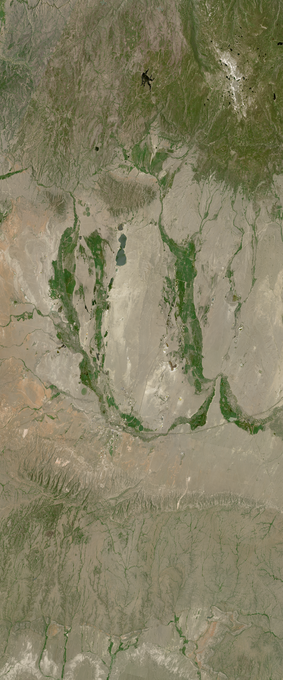
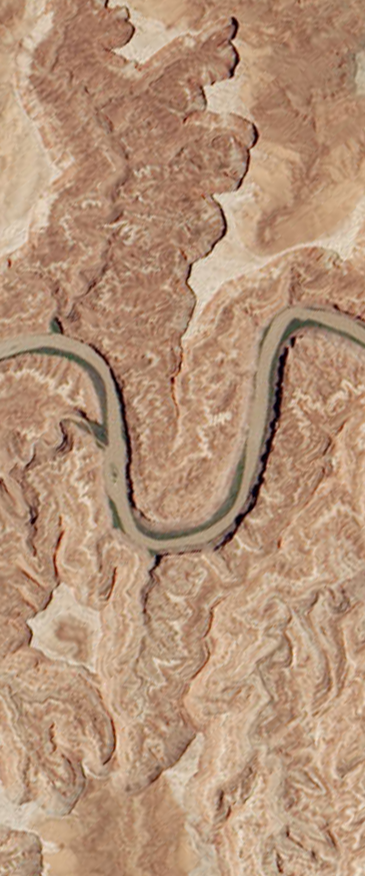
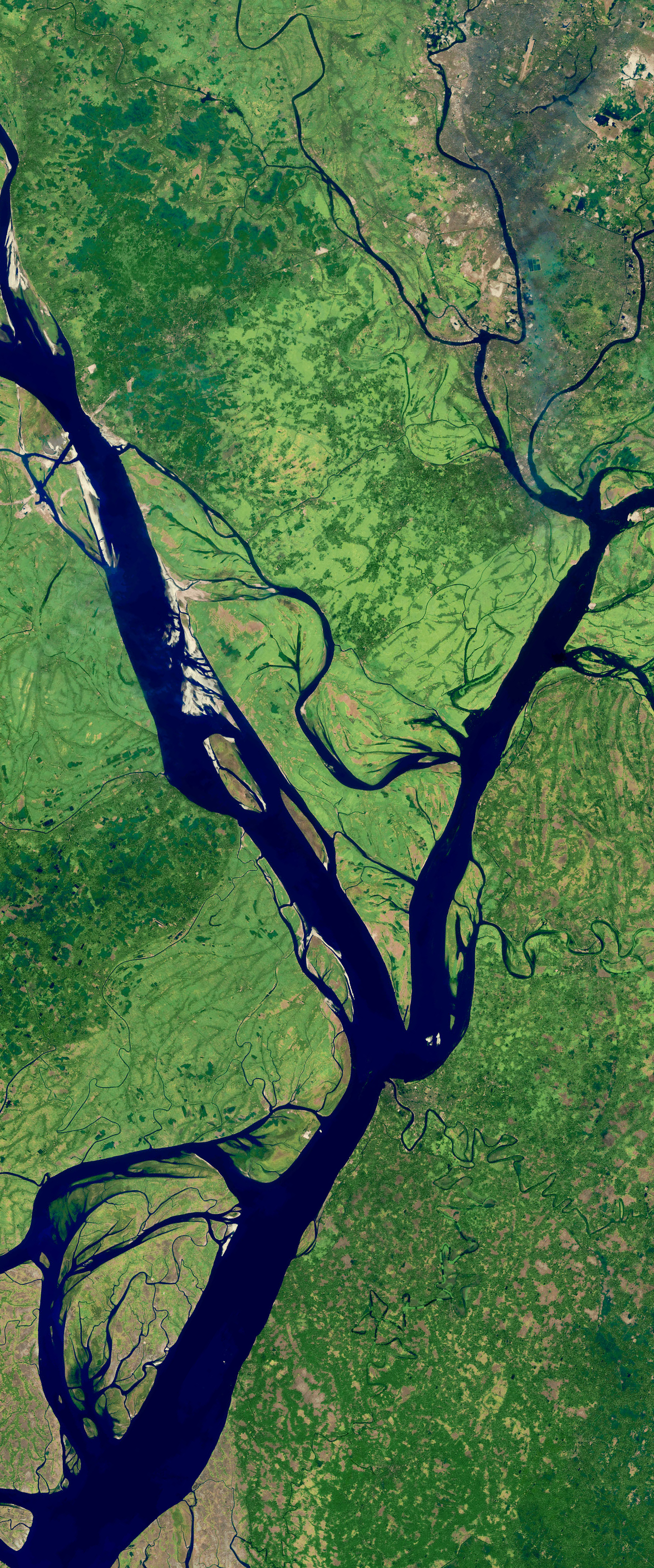
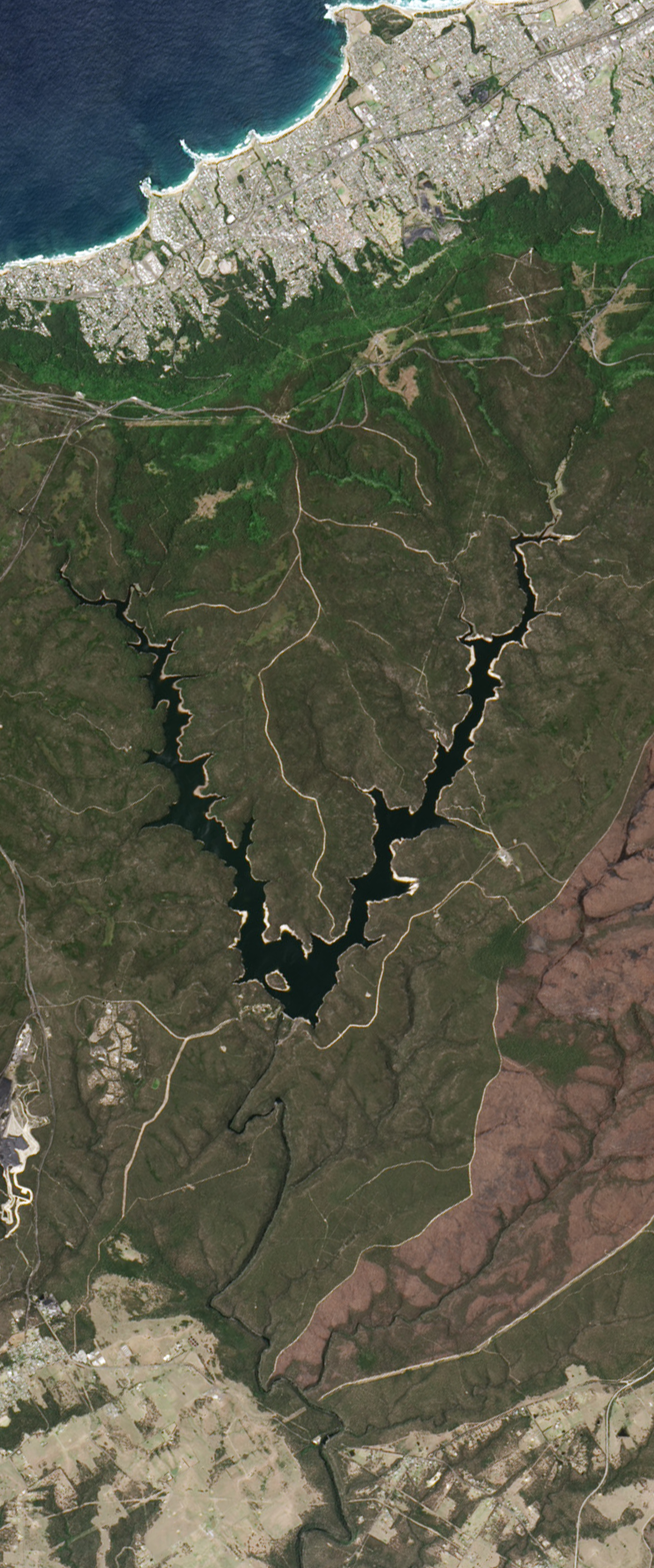
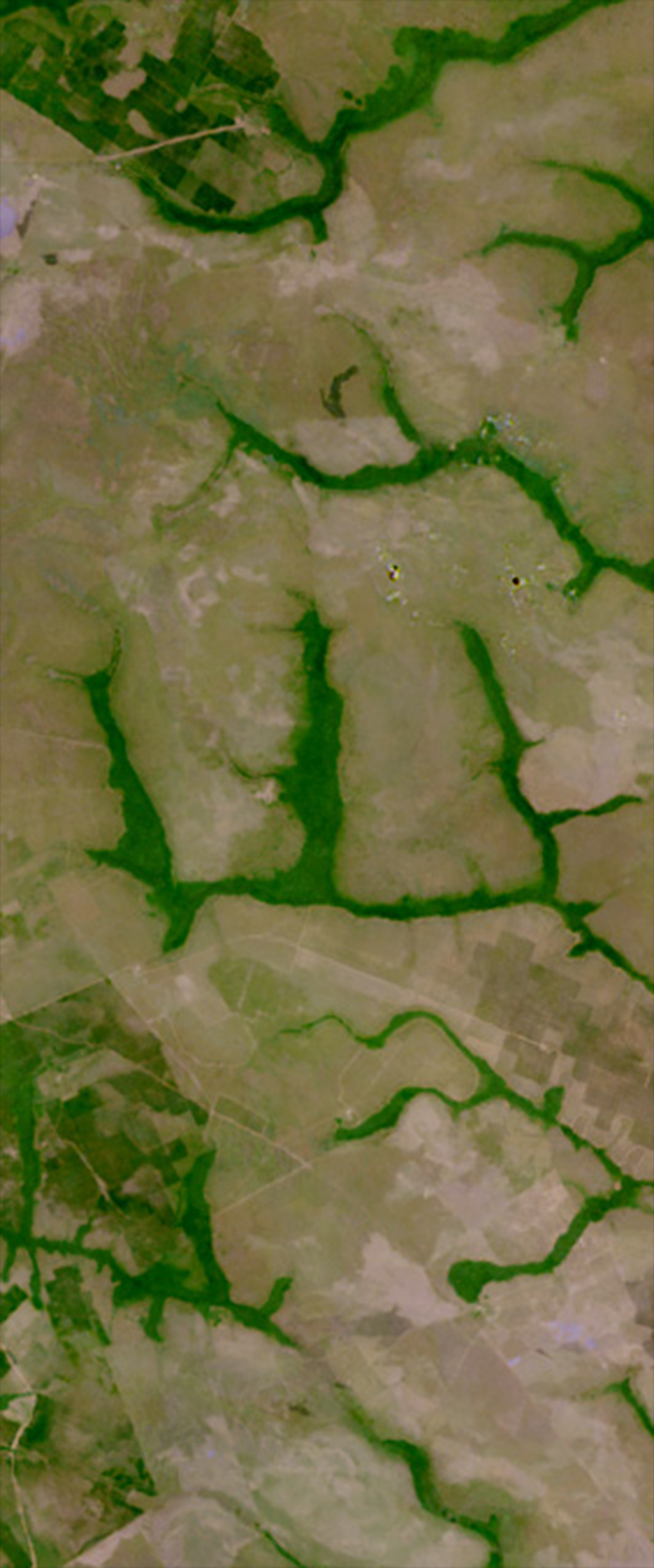
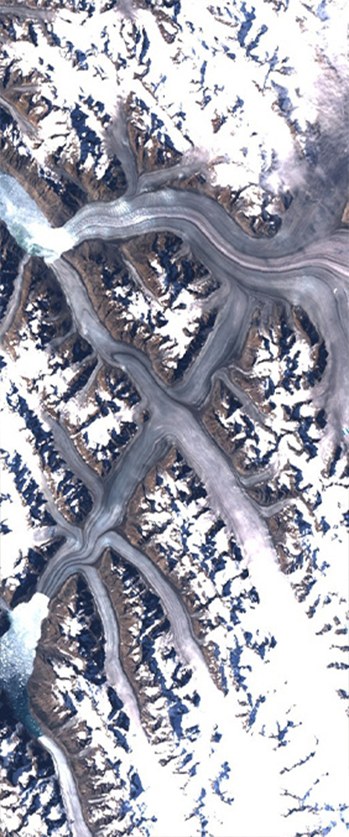
Your Name in Landsat Image Gallery
April 22, 2025
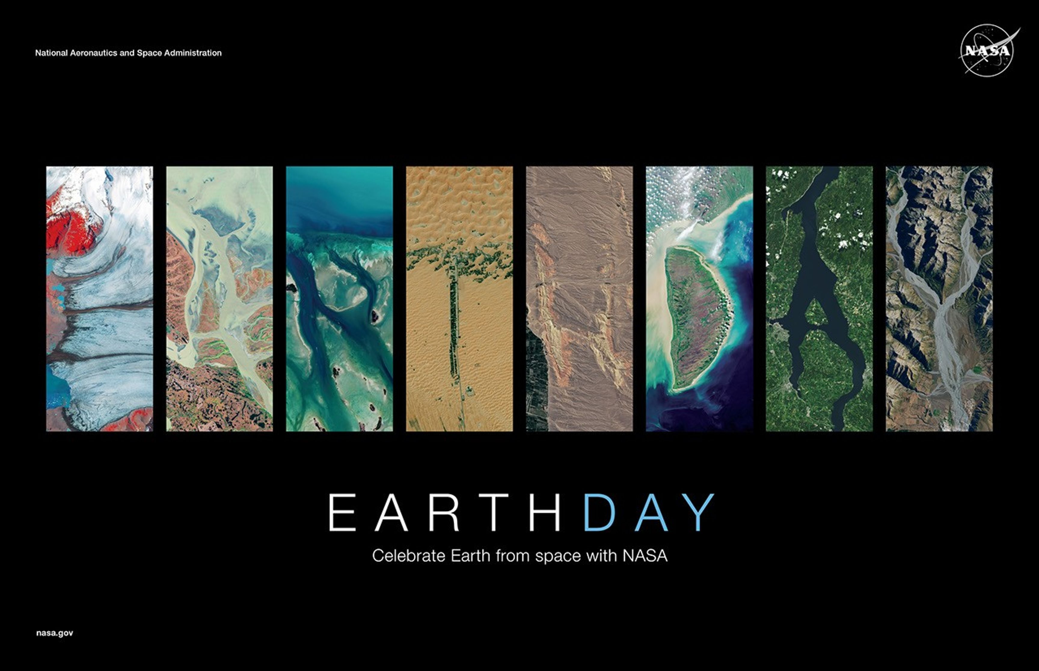
NASA Earth Day Poster 2025
Download this year’s Earth Day Poster and see your name in Landsat. With NASA’s “Your Name in Landsat” online interactive, users can type in their name, then view and export the graphic of that name spelled out in Earth features found in Landsat images.
A


B

C


D

E


F

G

H
I


J


K
L


M

N
O


P


Q

R


S


T


U
V


W

X


Y


Z


