Mars Science Laboratory: Curiosity Rover
Where is Curiosity?
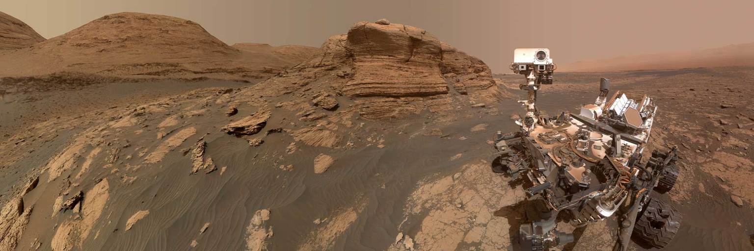
NASA’s Curiosity rover landed on Mars on Aug. 5, 2012 inside Gale Crater, which lies on the boundary between Mars' cratered southern highlands and its smooth, northern plains. Follow Curiosity’s latest location as it explores areas that can help answer questions about whether Gale Crater was habitable in the distant past.
About This Map
Scroll and pan around this map to see Curiosity’s latest location and traverse path through Gale Crater since landing on Mars in August, 2012. While the path might seem to wander, Curiosity’s team never loses sight of their goal: to explore places that can answer questions about whether Gale Crater was habitable in the distant past.
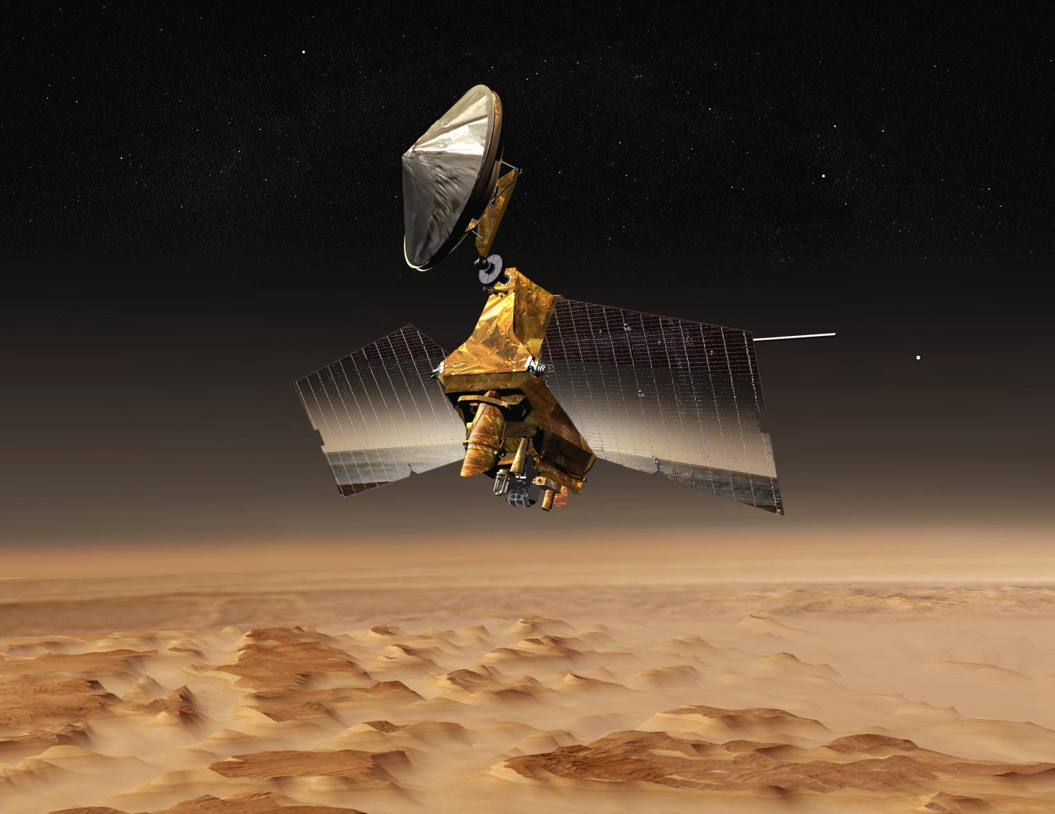
This map is composed of two layers: a grayscale Gale Crater map, and a true-color base map. Both were created with image data from the Context and the HiRISE cameras on NASA’s Mars Reconnaissance Orbiter. A high resolution, Digital Elevation Model was created from the images to provide critical information for rover drivers, who need to know how steep the hills are as they plan a path forward through this rocky terrain.
Engineers created this experience with software used by the mission team who decide where Curiosity will explore, and how to get there. Each dot represents the end point of a drive and is labeled with the day, or Sol, on Mars, that the rover stopped.


