































Sentinel-6B Stories
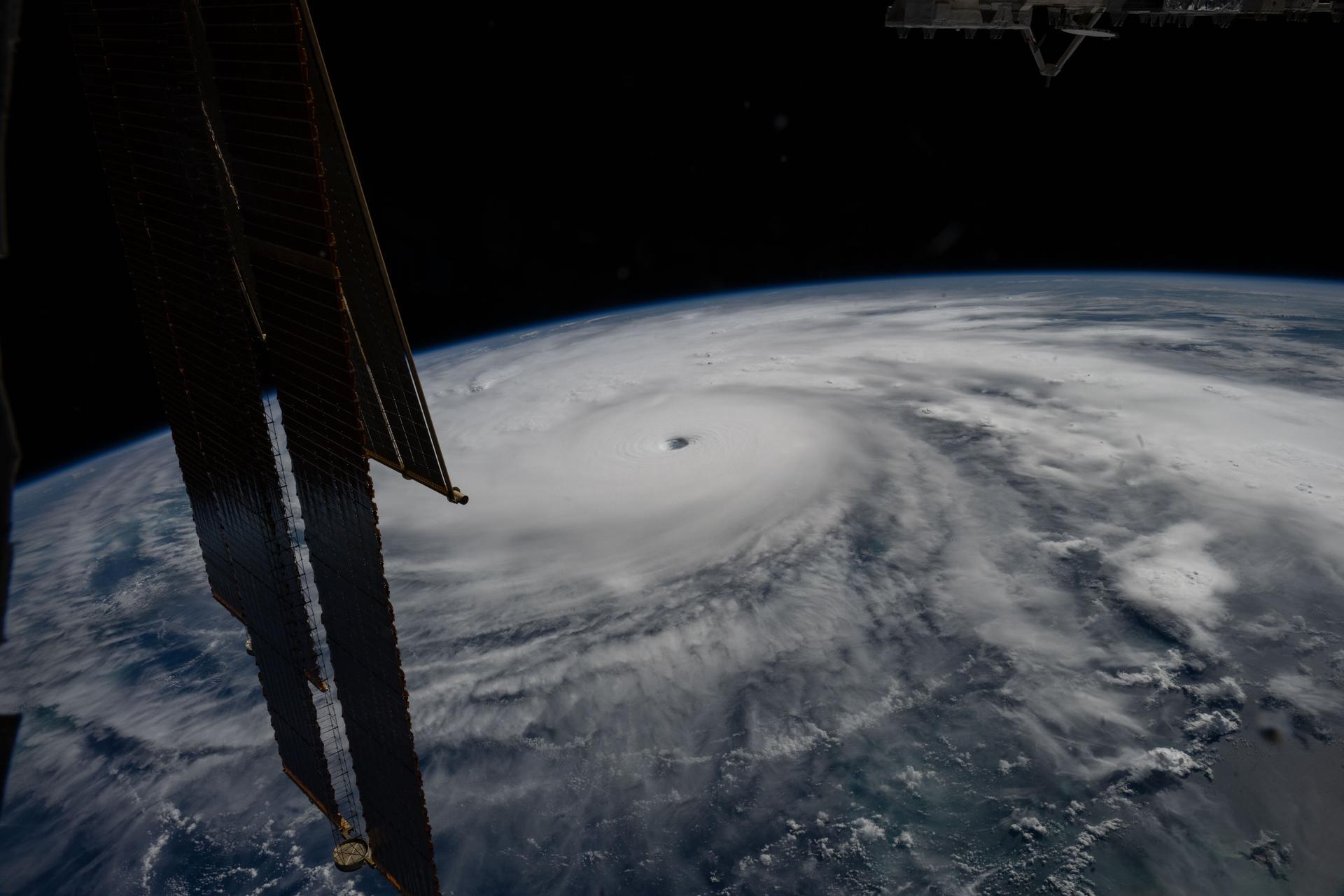
Last November, NASA and its European partners launched the Sentinel-6B satellite to improve hurricane forecasts, help protect infrastructure, and benefit commercial industries, including shipping. The satellite now is flying 30 seconds behind its predecessor, Sentinel-6 Michael Freilich. Both satellites are…
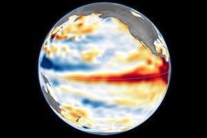
Satellite observations of sea surface height indicated that the 2026 event continued to strengthen in early June.
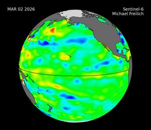
Description Sea level height data from the international Sentinel-6 Michael Freilich satellite collected from March to May 2026 show higher, warmer water moving from the western Pacific Ocean to just off the coast of Colombia, Ecuador, and Peru. This phenomenon…

Sea level data from a satellite launched by NASA and European partners shows that a swell of warm water hundreds of miles wide has arrived in the Pacific Ocean off the coast of South America, a sign that El Niño…
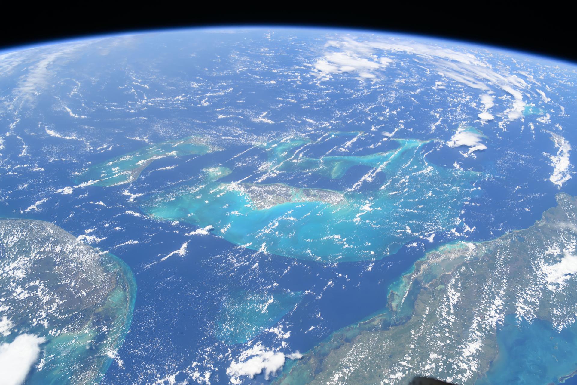
A mild La Niña caused greater rainfall over the Amazon basin, which offset rising sea levels due to record warming of Earth’s oceans. The rise in the global mean sea level slowed in 2025 relative to the year before, an…
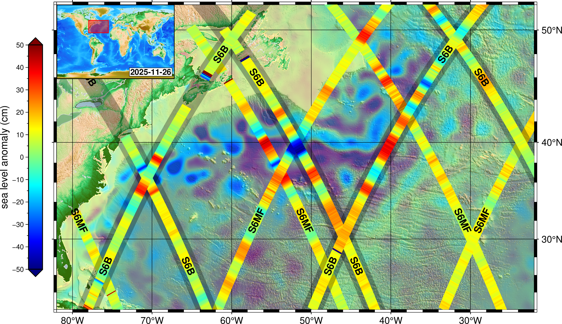
Launched in November, Sentinel-6B will track ocean height with ultraprecision to advance marine forecasting, national security, and more. Sentinel-6B, a joint mission by NASA and its U.S. and European partners to survey 90% of the world’s oceans for the benefit…