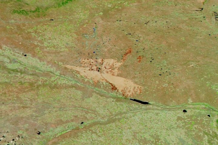
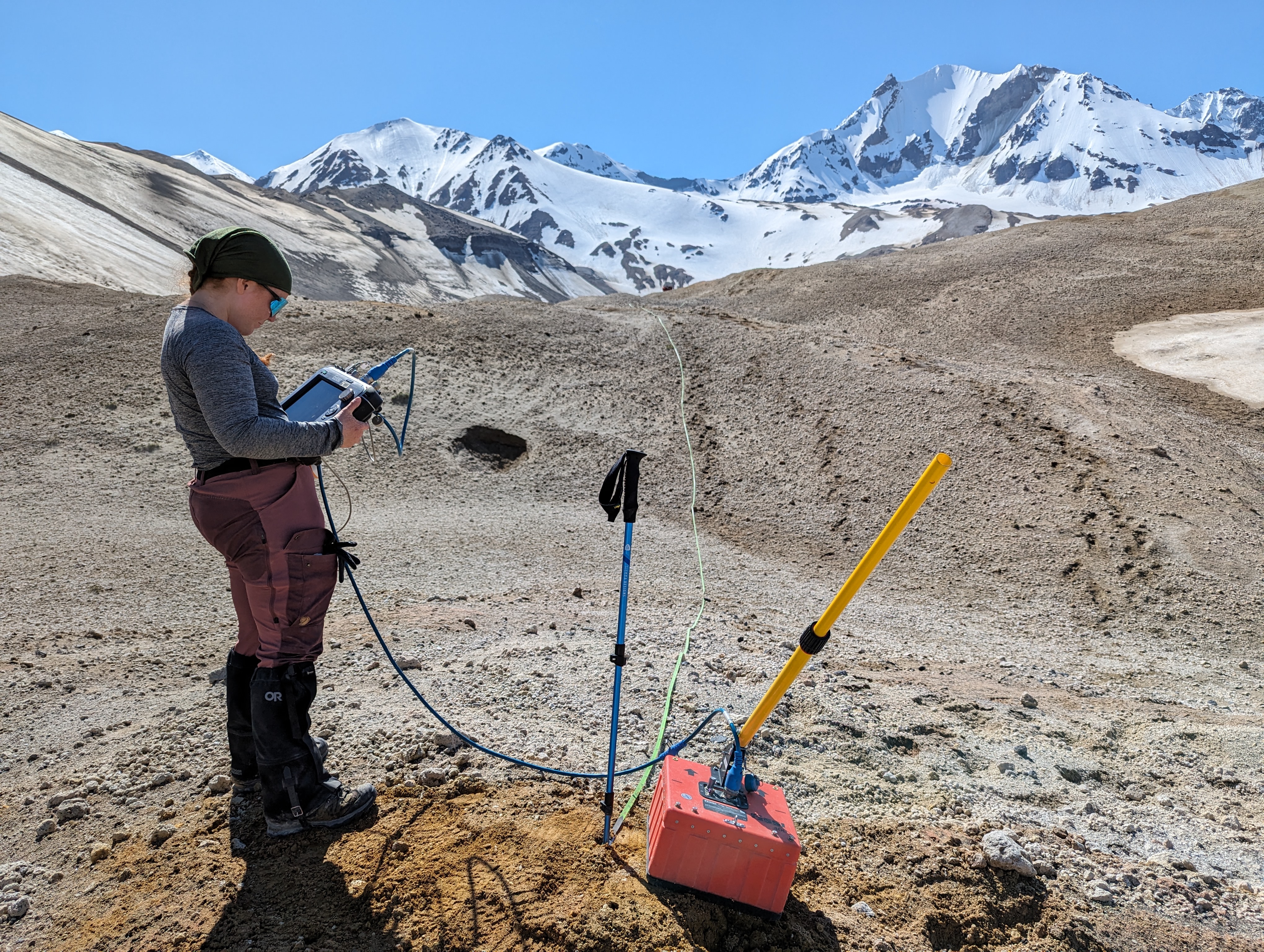
In June 2024, the Goddard Instrument Field Team (GIFT) hiked deep into the backcountry of Alaska’s Katmai National Park to study the Valley of Ten Thousand Smokes, site of the largest volcanic eruption of the twentieth century. The team’s task: traverse a vast volcanic debris field layered with glacier ice, gathering data and samples to help us better understand this place on Earth and similar terrain on other worlds.
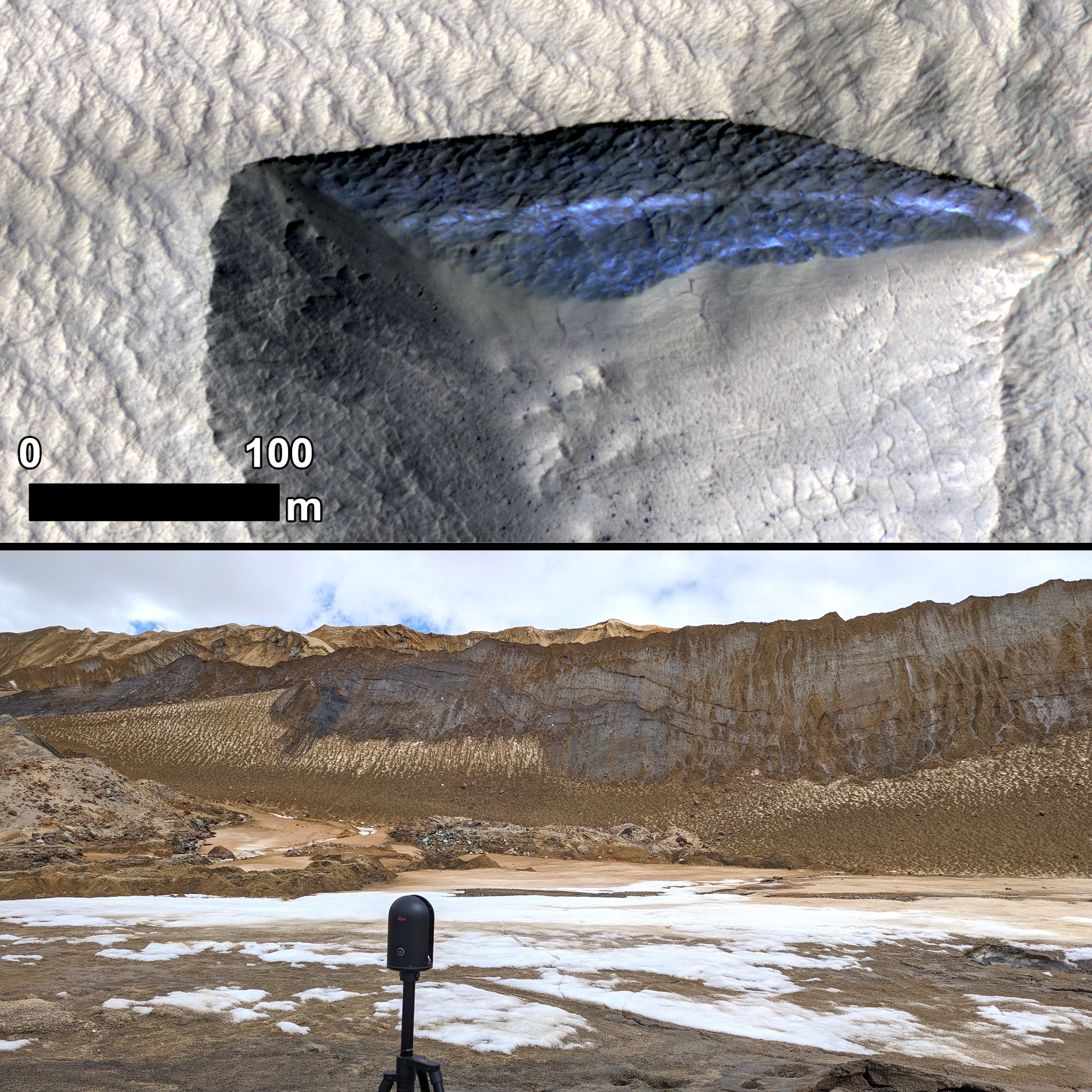
Novarupta, the volcano that erupted here in 1912, ejected more than three cubic miles of ash from Earth’s subsurface. The ice nearby is now insulated by, and mixed with, thick layers of geologically “young” volcanic debris. (For comparison, many of the eruption sites NASA teams study are tens of thousands to millions of years old.) Mars, too, has glaciers and ice sheets covered in layers of airfall materials, including dust and volcanic ash.
On Mars, as on Earth, some of the planet’s history is in disguise. Ancient volcanic materials are buried underneath newer deposits of ashy debris. Patterns in these layers (think thickness or thinness, color and texture, chemical and mineral signatures) hold a lot of information, but the message isn’t always clear. Erosion and other surface processes hide evidence of past eruptions, even enormous ones. Since relatively fresh volcanic material blankets the Valley of Ten Thousand Smokes, it’s an ideal place to observe the early stages of these changes.
In three days of violent eruption, Novarupta blasted an uncommonly wide variety of clays, minerals, and volcanic rocks throughout the surrounding valley. Since then, hot, sulfurous gases have filtered up through underground channels and escaped into the air via countless fumaroles (a.k.a. the “ten thousand smokes”). Fumaroles, together with erosion and other alteration processes, affect how minerals near Novarupta move and change. Research here can help us understand mineral movement and alteration on Mars and other worlds, too. The range of starting materials and alteration patterns in this valley, all from a single eruption, is difficult to match anywhere else.
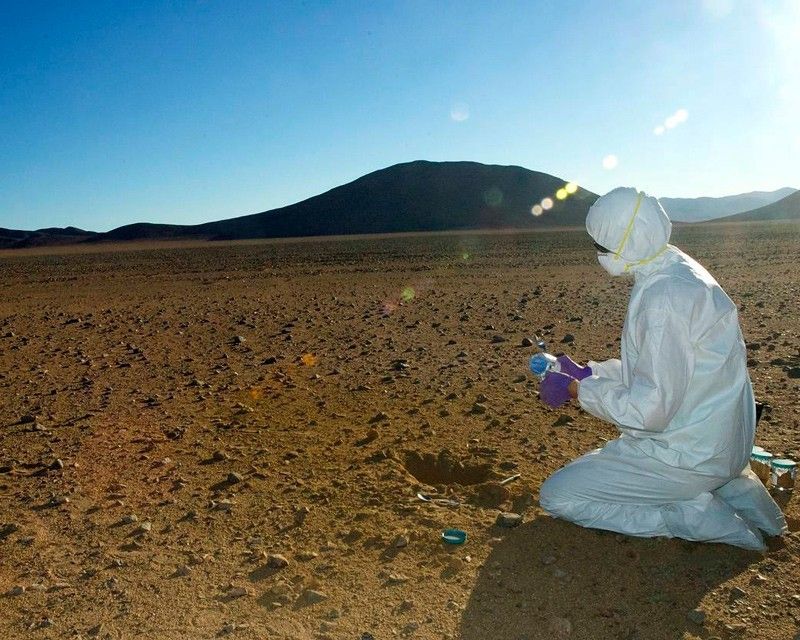
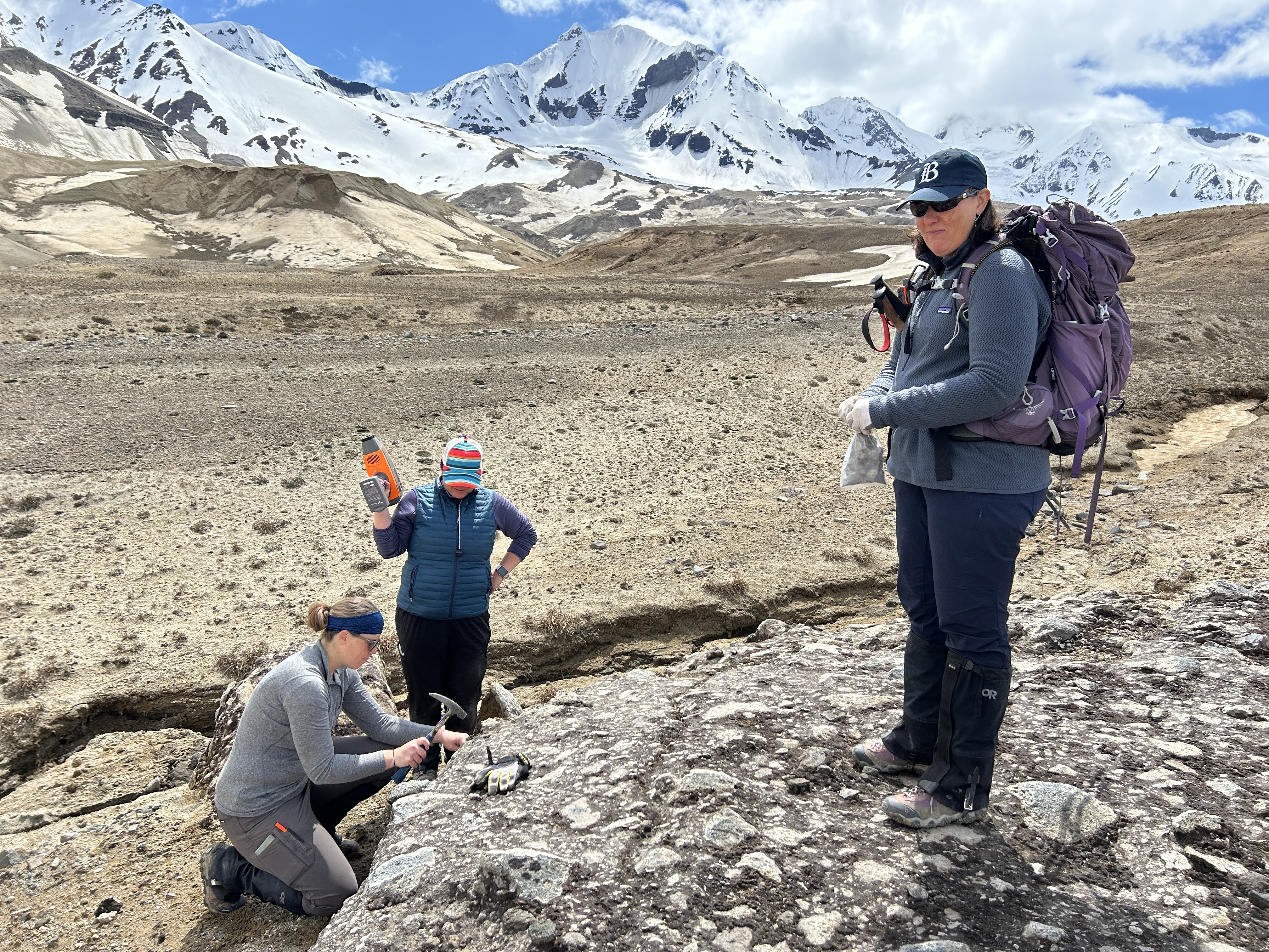
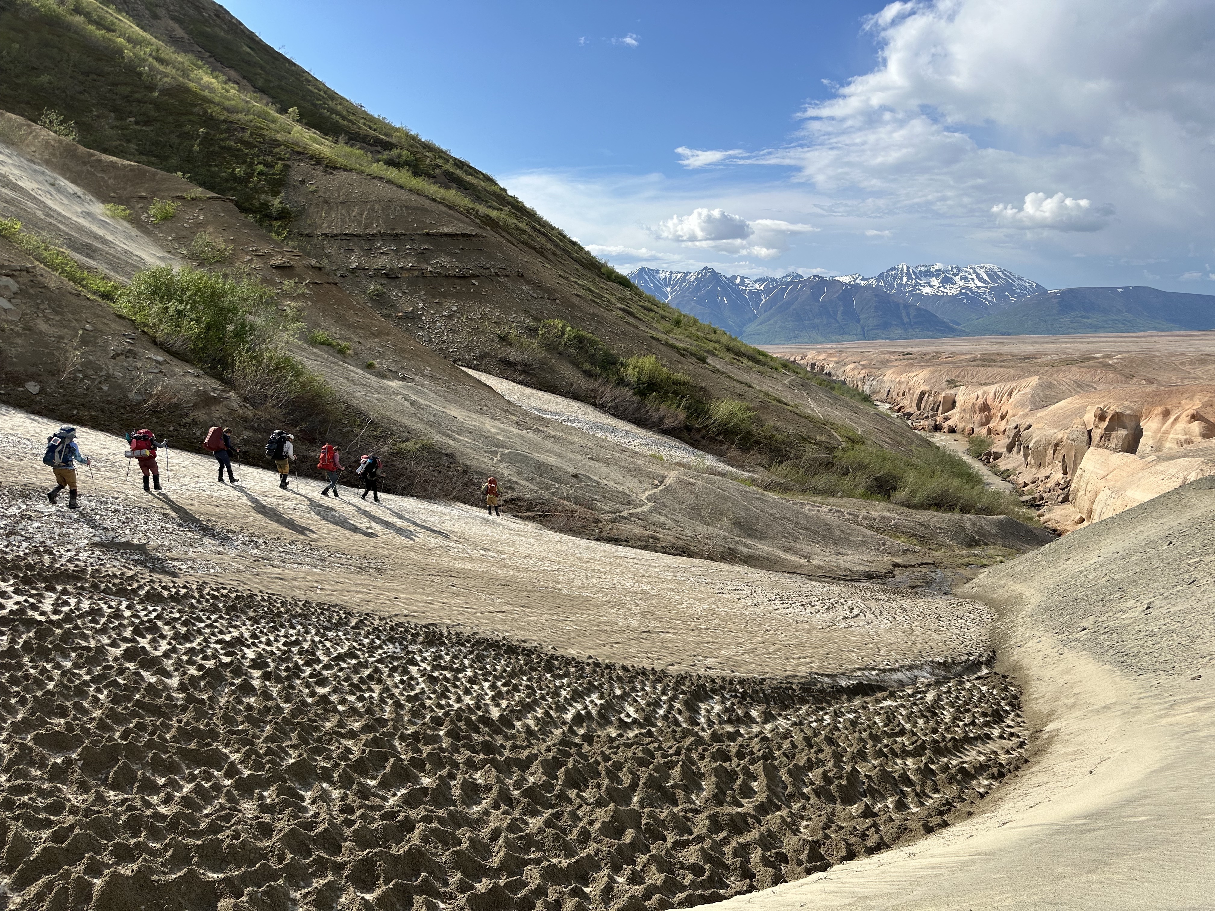
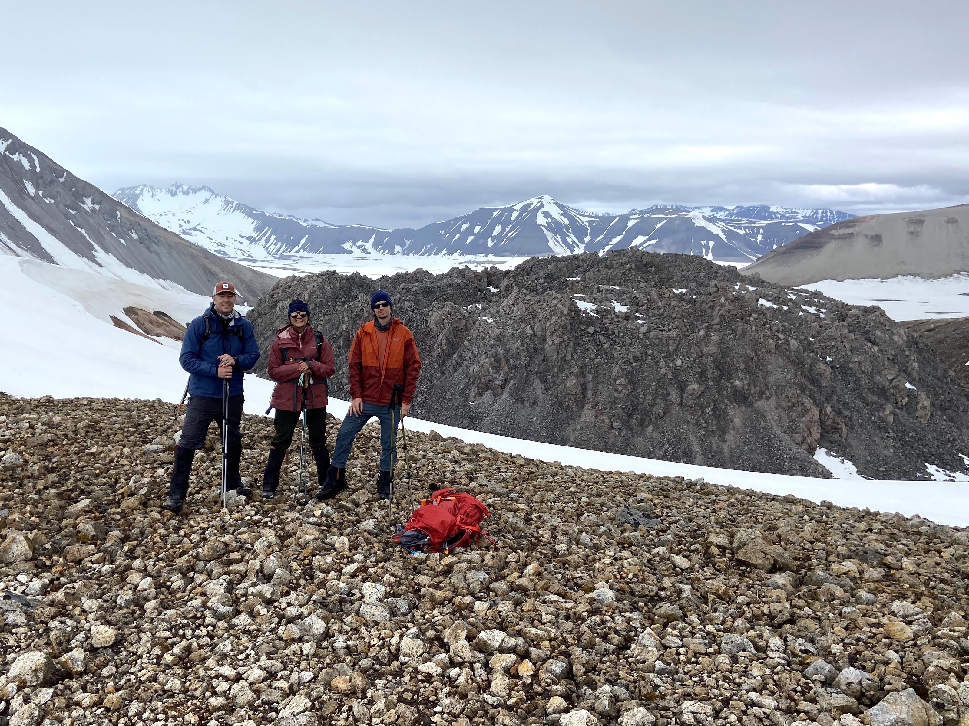
It’s a tough field site to access, especially with heavy science instruments. GIFT worked closely with local collaborators including Katmai National Park to coordinate the expedition. After years of planning and months of training, twelve field team members gathered and geared up in Anchorage, Alaska. Two tiny airplane flights, one all-terrain bus ride, and sixteen hiking miles later, they set up a base camp. From there, small groups hiked out and back each day, gathering data and sample material from throughout the valley.
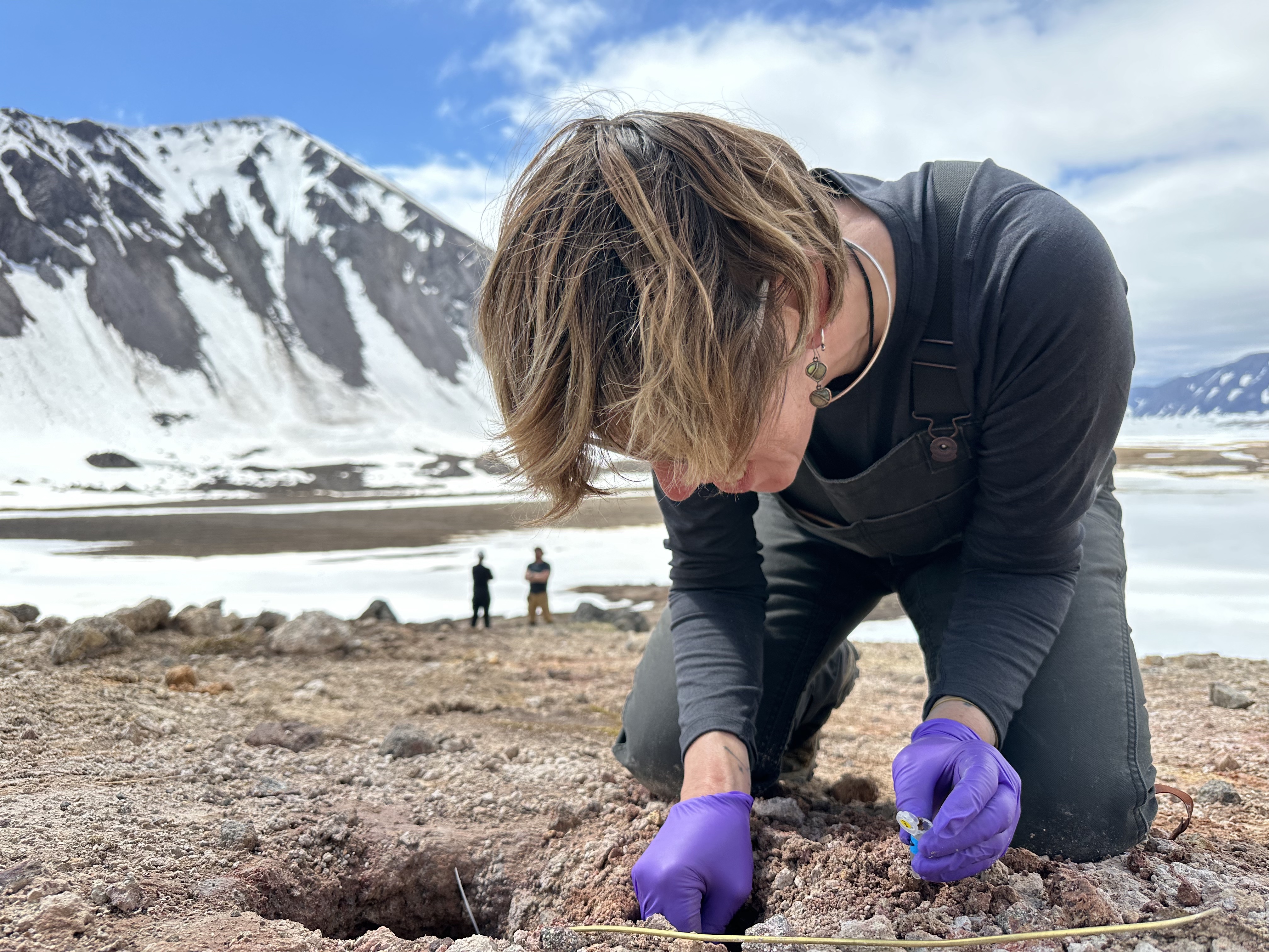
Scientists teamed up to carry large equipment from place to place and bring each other data from far-flung targets. Some results were predictable, like a new library of samples collected from several different “packages” of differently-composed volcanic debris. Some were surprising–like a core sample that came up containing a pocket of empty space instead of buried glacial ice.
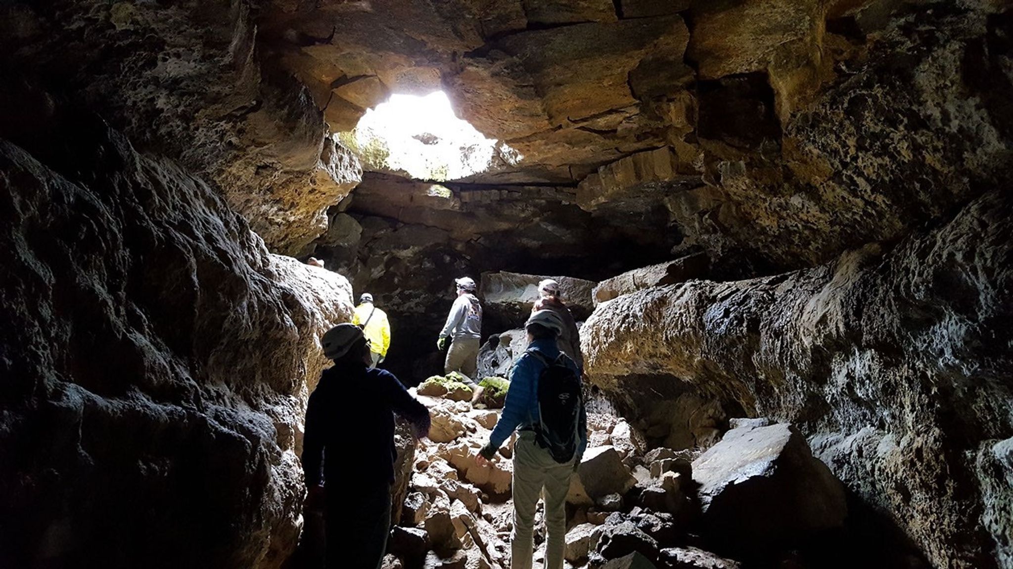
Analyzing the samples, processing the data, and putting it all together will take time. This is the beginning of GIFT's Novarupta research, but it’s a chapter of a science story long in the making. Previous studies of the 1912 eruption and its aftermath influenced this expedition’s science plan. The 2024 data and samples, and the new questions arising from the team’s time in the field, are already shaping ideas about future work. NASA has visited before, too. Apollo astronauts and their geology trainers spent time in the Valley in 1965, finding it an unusually Moon-like place to study.
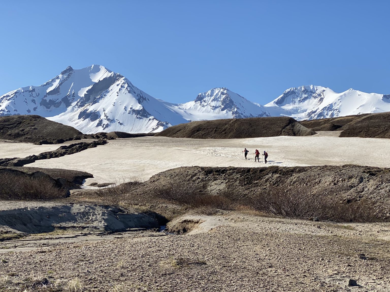
Fieldwork still plays a role in astronaut training–and in advancing lunar science. For example: Novarupta’s chemistry is partly a result of Earth’s plate tectonics. The Moon has volcanic landscapes with similar chemistry, but no tectonic plates. So, what else could explain the parallel? To help address this question, the 2024 team collected samples and ground-truth data from a range of rock formations comparable to the Moon’s Gruithuisen Domes.
On Earth, the Moon, Mars, and beyond, geologic processes encode pieces of our solar system’s history. Volcanic deposits store details about a world’s insides at the time of an eruption and evidence of what’s happened at the surface since. Rippling fields of sand dunes, gravel, and ash record the influence of wind where atmospheres exist, like on Venus, Mars, and Titan. Glaciers can tell us about climate history and future–and on Mars, ice research also helps to lay the groundwork for human exploration. It’s much easier to take a close look at these features and processes here on Earth than anywhere else. So, to understand planets (including our own), NASA field scientists start close to home.