













Suggested Searches

1 min read

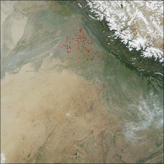
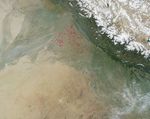
Fires Near Indus River

Instruments:
2024-10-14 12:00:00
October 14, 2002

Active fire detections (red dots) in India near the fertile lands near the Indus River probably signify seasonal agricultural burning. This image was captured on October 14, 2002 by the Moderate Resolution Imaging Spectroradiometer on the Terra satellite. The image shows the broad, fertile plain of the Indus River at upper left, and the snow-covered peaks of the Himalayas at top right.

References & Resources

Image courtesy Jesse Allen, based on data from the MODIS Rapid Response Team at NASA GSFC
You may also be interested in:

Stay up-to-date with the latest content from NASA as we explore the universe and discover more about our home planet.

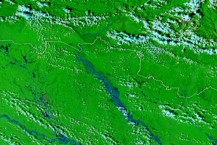
Rains Swamp the Gandak River
3 min read

After days of torrential rain, the river rose to record-breaking levels in parts of Nepal and India.

Article
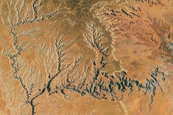
Taking a Gander at Utah’s Goosenecks
3 min read

The San Juan River has carved deep, improbably curvy meanders into the desert landscape.

Article
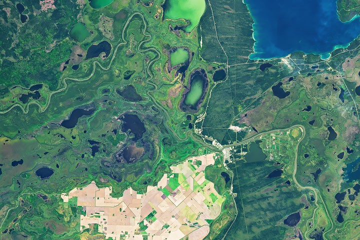
An Agricultural “Island” in the Saskatchewan River Delta
3 min read

Surrounded by wetlands, Manitoba's northernmost farmland near The Pas turns from green to brown over the 2026 growing season.

Article