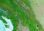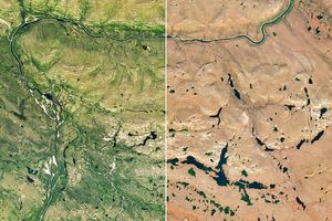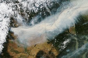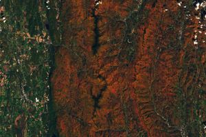






















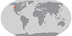

Fire season is winding down in western North America, but this false-color image from the Moderate Resolution Imaging Spectroradiometer (MODIS) on the Aqua satellite reveals the seasonâs fire-scarred landscape. Vegetation is in shades of green, while burned areas are red. Scars dot the Northern Rockies from Canada (roughly top half of image) to Montana (bottom right) and Idaho, to its west. Additional large scars are visible in the Coast Mountains (left) which stretch from British Columbia, Canada, southward into Washington. Clouds are white and light blue, lakes and rivers are dark blue, and snow is bright blue. Naturally bare ground (or extremely low vegetation), such as on the highest mountains ridges at top center, or in the Columbia River Basin (bottom center), is pinkish tan. MODIS captured this image on October 4, 2003.
References & Resources
Image courtesy Jesse Allen, based on data from the MODIS Rapid Response Team at NASA GSFC