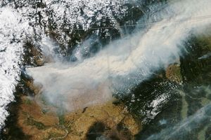























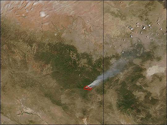
Near the Arizona (left)-New Mexico (right) state line, east of the Fort Apache and San Carlos Indian Reservations, the KP Fire was burning in rugged, mountainous terrain on May 24, 2004. Pictured in this image from the Moderate Resolution Imaging Spectroradiometer (MODIS) on the Aqua satellite, the actively burning portion of the fire detected by MODIS has been outlined in red. The image is available in additional resolutions.
The fire is burning in the Apache-Sitgreaves National Forest, and as of May 25, was not threatening any structures. Over the weekend of May 22, firefighters continued "burn-out" operations along highway 191 to create fuel-free zones that prevent the fire from spreading.
References & Resources
Image courtesy the MODIS Rapid Response Team, NASA-Goddard Space Flight Center