




Suggested Searches

1 min read

Fires Ravage Kangaroo Island

Instruments:
2020-01-09 00:00:00
January 9, 2020
2020-01-09 00:00:00

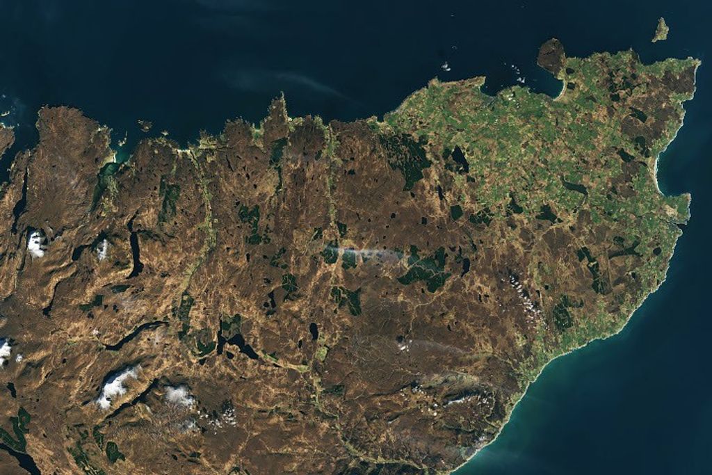
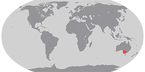
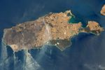
On January 9, 2020, the Operational Land Imager (OLI) on Landsat 8 acquired natural-color observations of burned land and thick smoke covering Australia’s Kangaroo Island. According to news reports, at least 156,000 hectares (600 square miles, nearly one-third of the land area) have burned and 50 homes have been destroyed on the island of 4,700 people.

References & Resources

NASA Earth Observatory images by Lauren Dauphin, using Landsat data from the U.S. Geological Survey. Caption by Mike Carlowicz.
You may also be interested in:

Stay up-to-date with the latest content from NASA as we explore the universe and discover more about our home planet.

New Zealand’s Southern Wilderness
3 min read

Stewart Island/Rakiura, New Zealand’s third-largest island, is known for its vibrant birdlife, unique forests, wilderness beaches, and views of the…

Article
Fans of the Arctic
3 min read

Sediment eroded from ice-capped mountains splays out across a broad river valley on Russia’s Severny Island.

Article
Cyprus: Island of Snakes, Cats, and Ophiolites
4 min read

The third-largest island in the Mediterranean Sea exposes an ancient piece of the ocean floor and hosts a clowder of…

Article