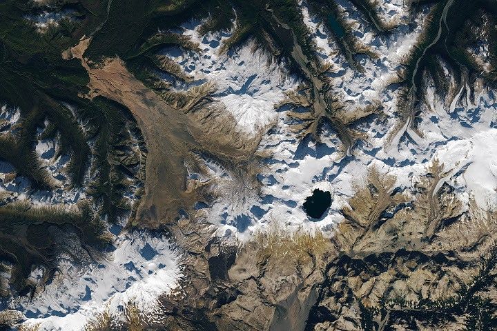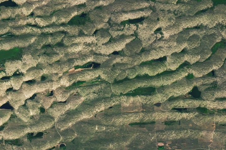
MapBox graphic
Today, Chris Herwig from MapBox presented at the Federation of Earth Science Information Partners (ESIP) about MapBox’s endeavor to use both MODIS and Landsat data to create a cloud-free world atlas.
Herwig’s presentation, titled, “Clear Skies: Turning Massive NASA Data into a Pixel-Perfect World Atlas” is available via Speaker Deck: