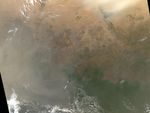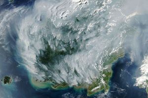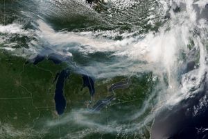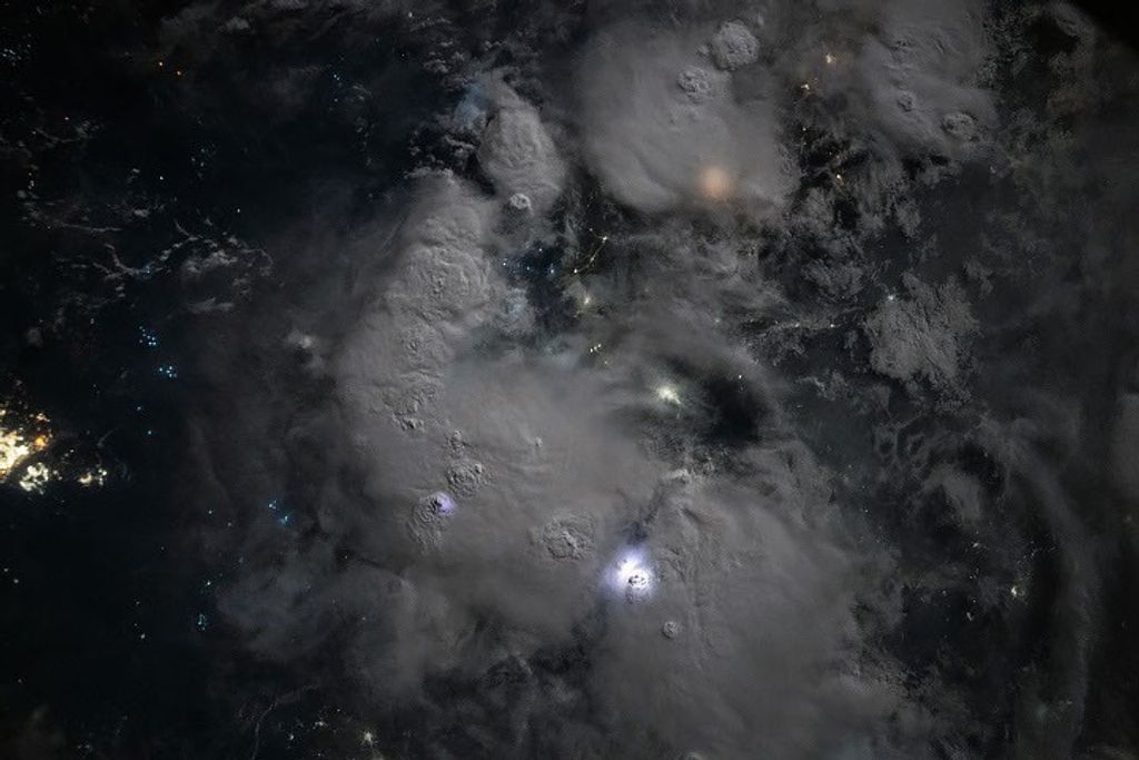















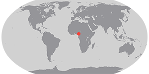

Seasonal agricultural burning in the Sahel and tropical savannas of central Africa was widespread on January 5, 2007, when the Moderate Resolution Imaging Spectroradiometer (MODIS) on NASA’s Aqua satellite passed overhead and captured this image. At this time of year, people burn crop and grazing lands to prepare for new plantings and stimulate new growth. Hundreds of active fires (marked in red) were detected by the sensor beneath a veil of tan-colored haze. Some of the haze may be smoke, but much of it is dust blowing in from the Bodele Depression, northeast of Lake Chad (just visible as a green blur at the top of the image). Though it is not necessarily immediately hazardous, such large-scale burning can have a strong impact on weather, climate, human health, and natural resources.
A 250-meter-resolution KMZ file of the fires is available for use with Google Earth.
References & Resources
NASA image created by Jesse Allen, Earth Observatory, using data provided courtesy of the MODIS Rapid Response team.