


![Request for Information – Potential [Placeholder for Prize]](https://assets.science.nasa.gov/dynamicimage/assets/science/psd/solar/2023/09/s/solarsystem_0.jpg?w=1024)


Landsat Outreach
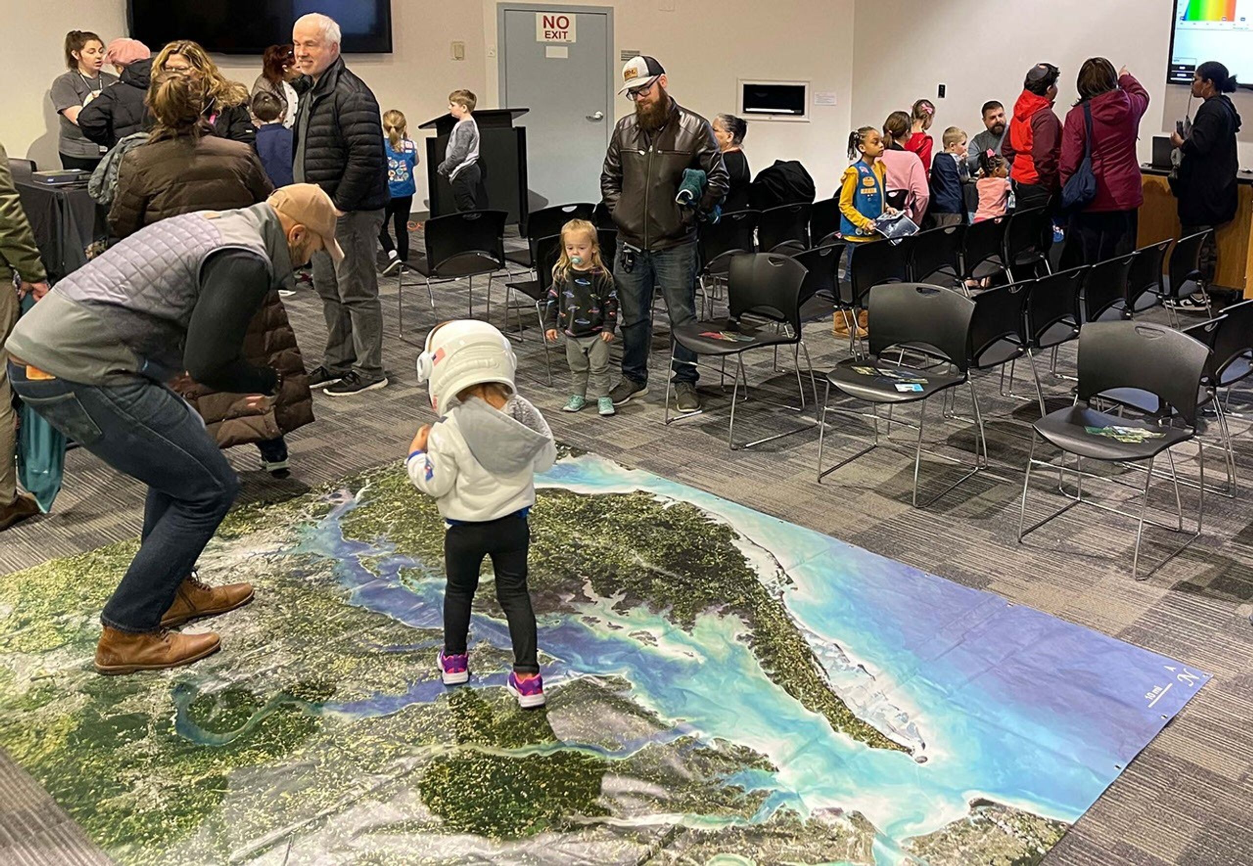
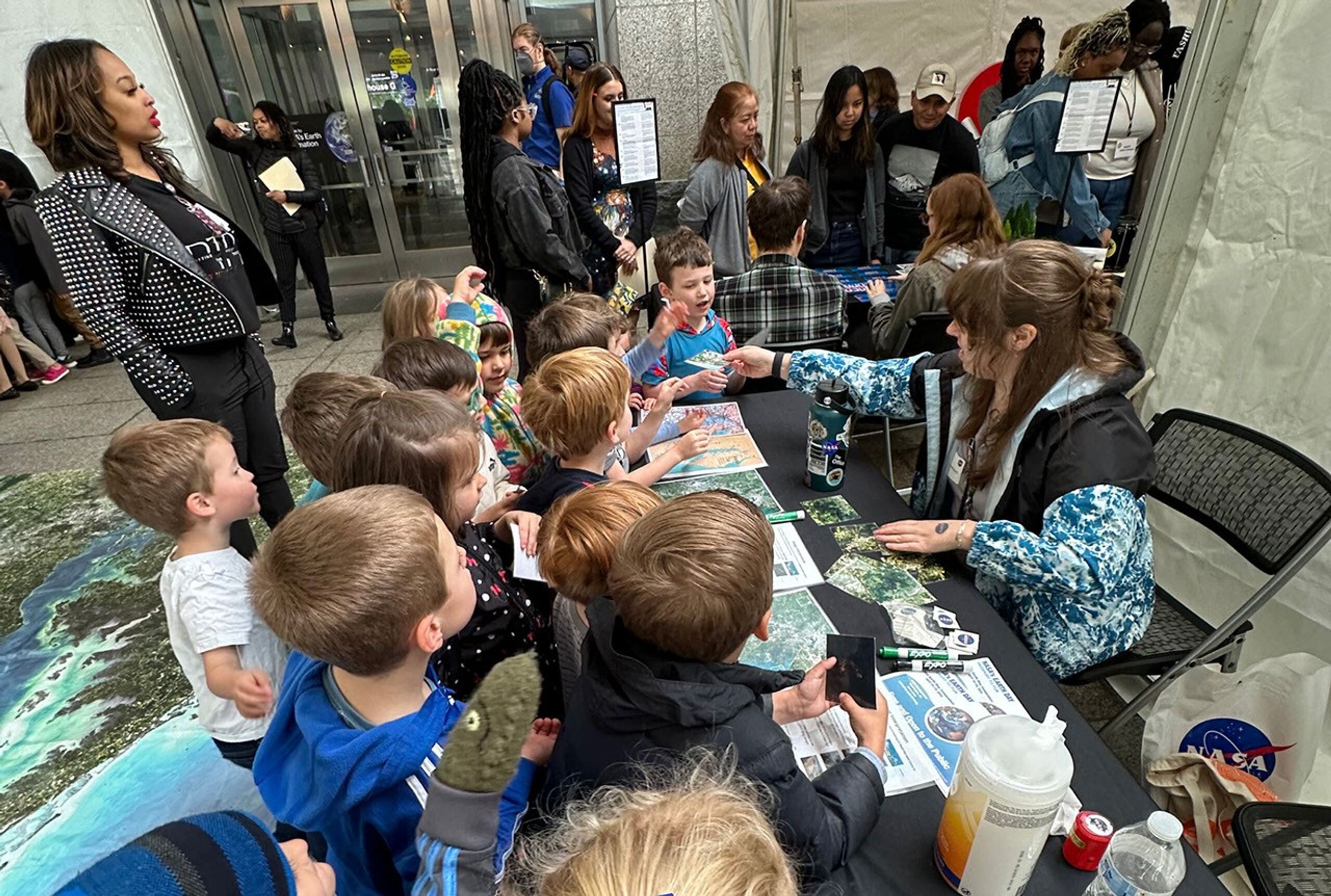
Since 1972, Landsat satellites have orbited Earth, sending back millions of images of our changing planet. Learn more about the Landsat mission and our home planet with hands-on activities, interactives, and more.
Games & Interactives
Explore how Landsat’s view from space reveals Earth’s changing landscapes, natural resources, and more, through in-person games and online interactives.
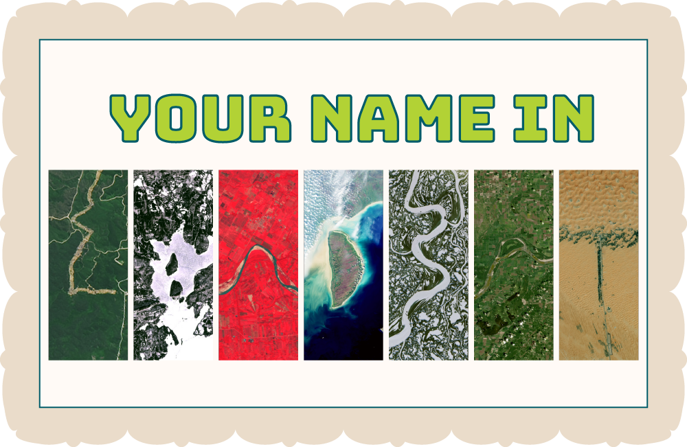
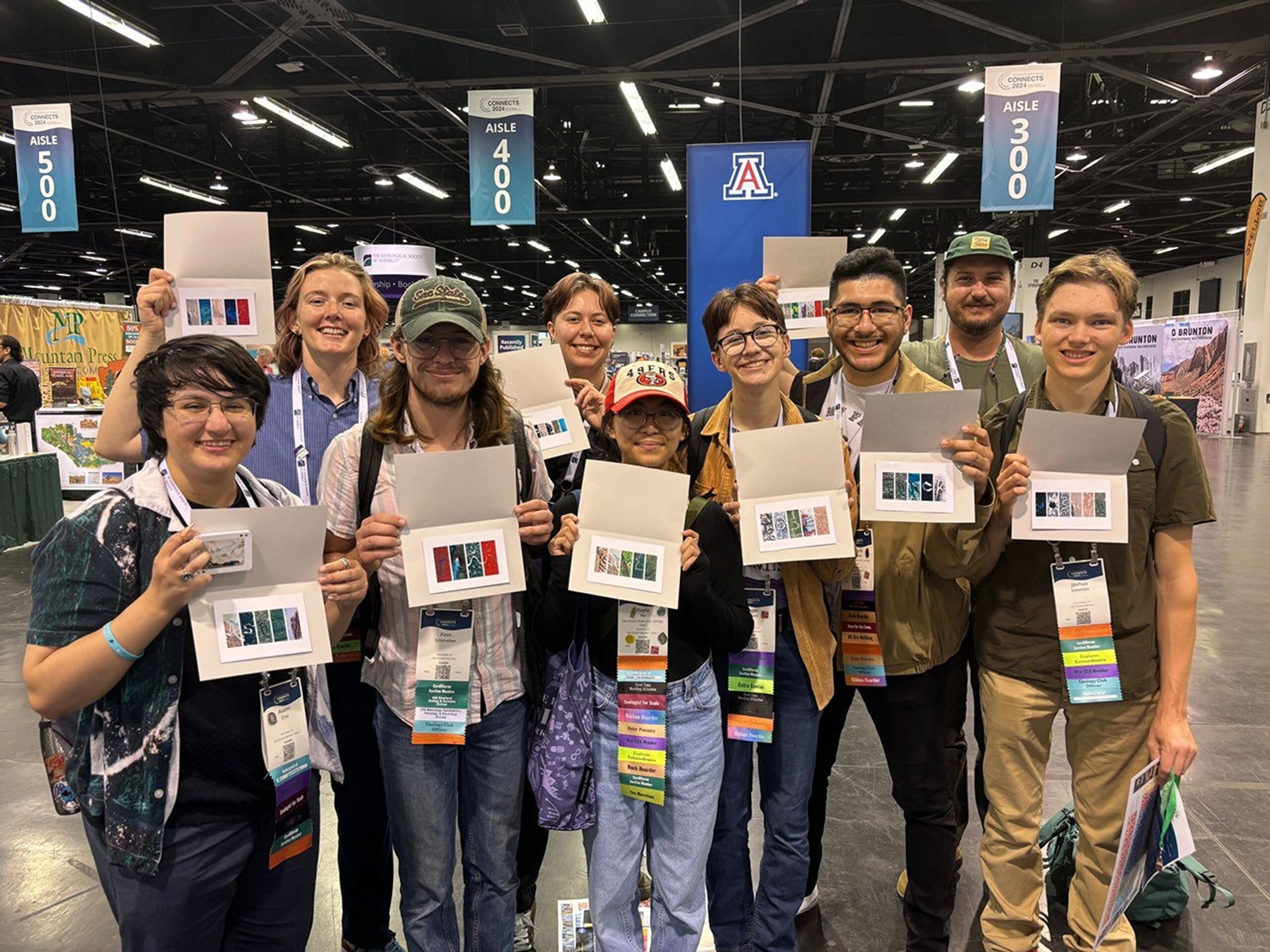
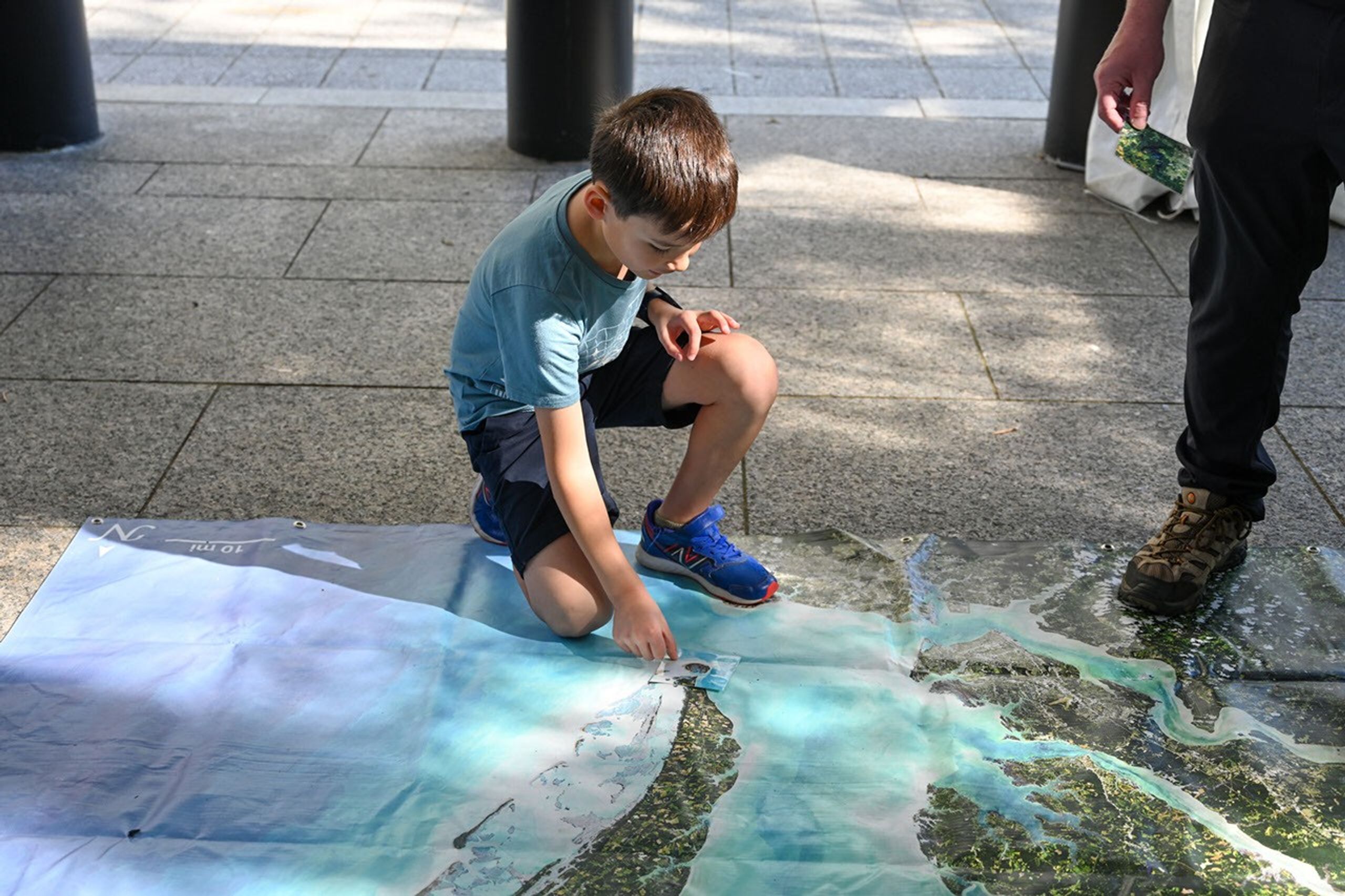
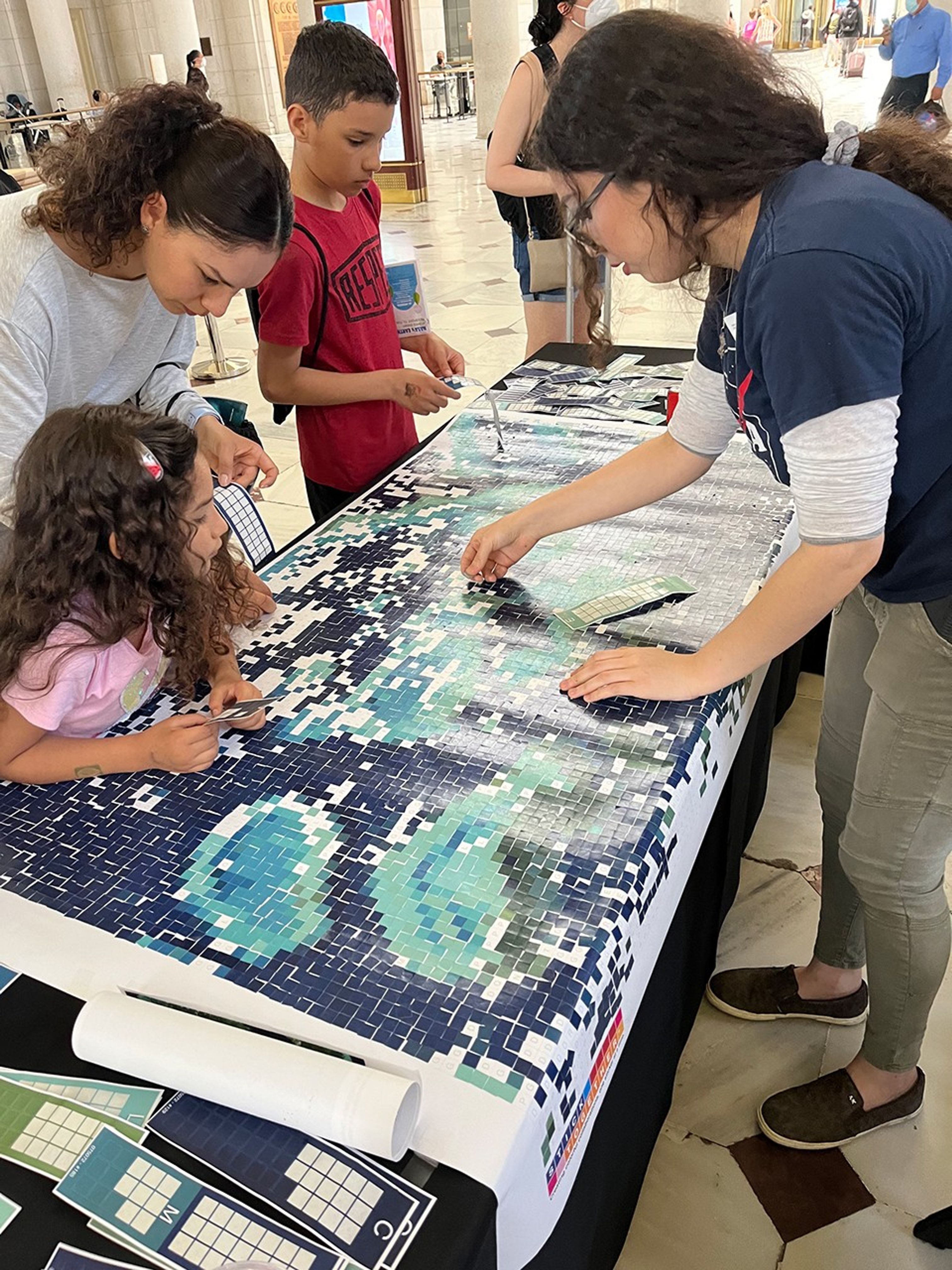
Your Name in Landsat Interactive
Celebrate how NASA uses the unique vantage point of space to observe and understand our dynamic planet.
Age Range: All ages
Topic: Art, geography
Activity Type: online interactive, printable
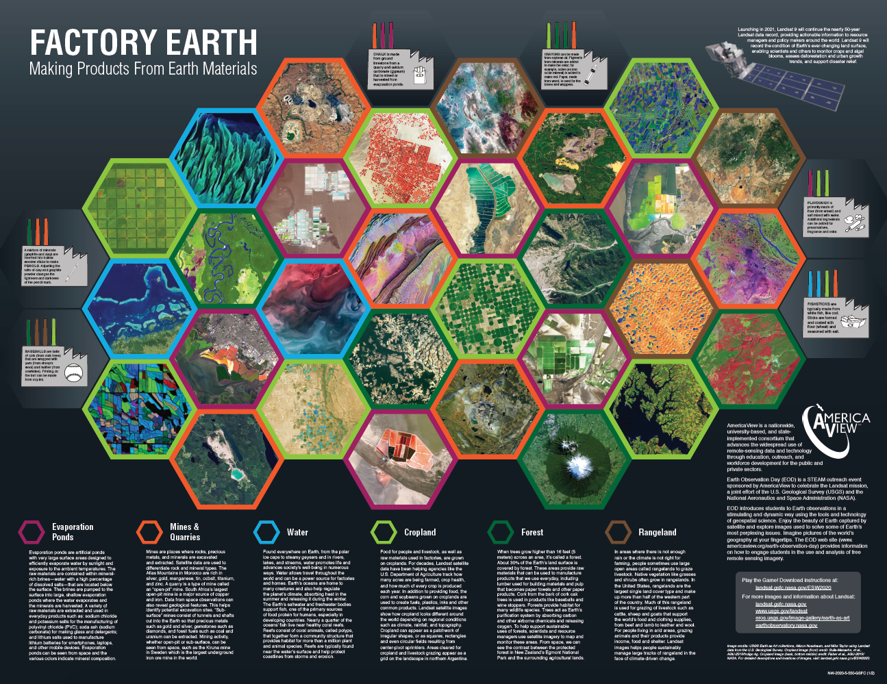
Factory Earth Game
Age Range: 10+
Topic: Natural resources, disasters
Activity Type: Printable, Board Game
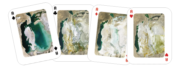
Landsat Activity Cards
Age Range: All ages
Topic: Change over time
Activity Type: Printable, matching
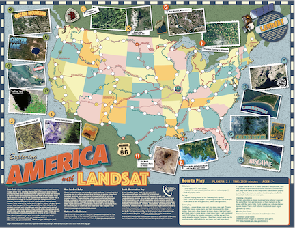
Exploring America with Landsat Game
Age Range: 7+
Topic: National trails and waterways
Activity Type: Printable, board game
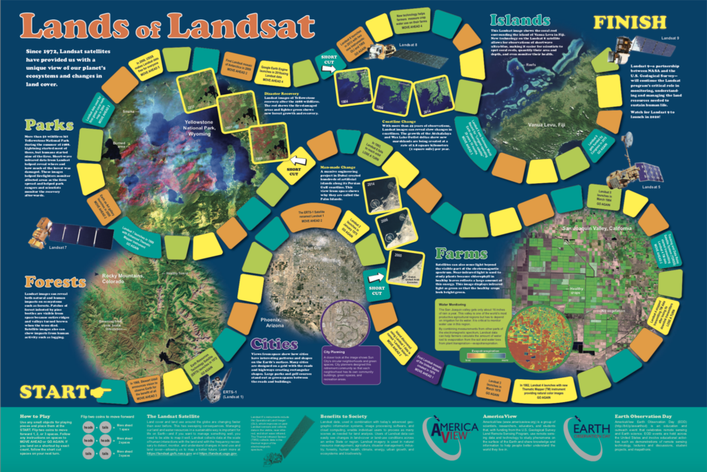
Lands of Landsat Game
Age Range: 7+
Topic: Land cover, change over time, societal benefits
Activity Type: Printable, board game
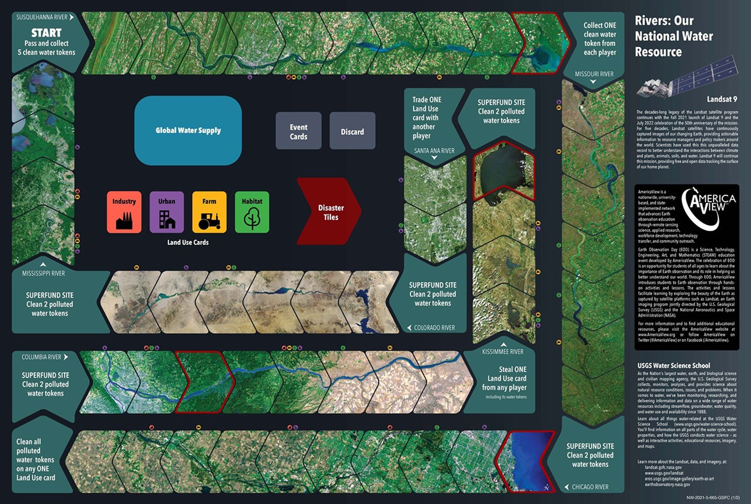
Rivers: Our National Water Resource Game
Age Range: 8+
Topic: Water resources, human health, land use, disasters
Activity Type: Printable, board game
FeatureD interactive
Your Name in Landsat
Explore our planet in a way that's uniquely yours.
Type in your name to view it spelled out in Earth features found in Landsat imagery.
Try it out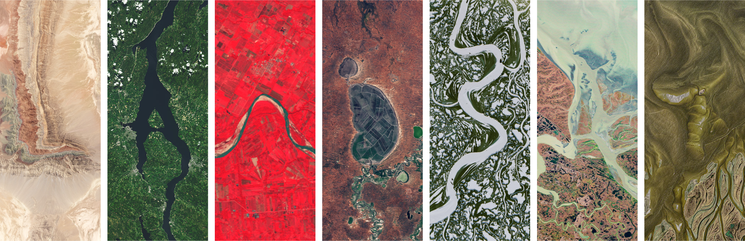
Hands-on Activities
Explore a collection of activities that highlights how scientists use Landsat data to study Earth’s changing surface. From tracking forest health to monitoring urban growth, these activities investigate Landsat’s benefits to society.

Chesapeake Bay from Space
Type: Exploration
Topics: Water, urban growth, ecosystems
Setting: Small group

Landsat 9 3D Model
Type: Craft
Topics: Engineering, instrumentation, remote sensing
Setting: Individual
Featured activity
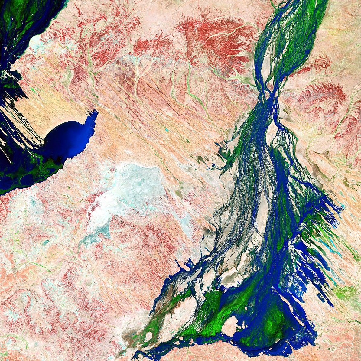
Landsat Collage
Landsat imagery provides some of the most beautiful and unique views of our planet.
From folded red mountain ridges, yellow dunes dotted with brilliant pools of blue water, and swirling clouds of blue-green phytoplankton, these images reveal a hidden world of color, textures, patterns, and movement.
Explore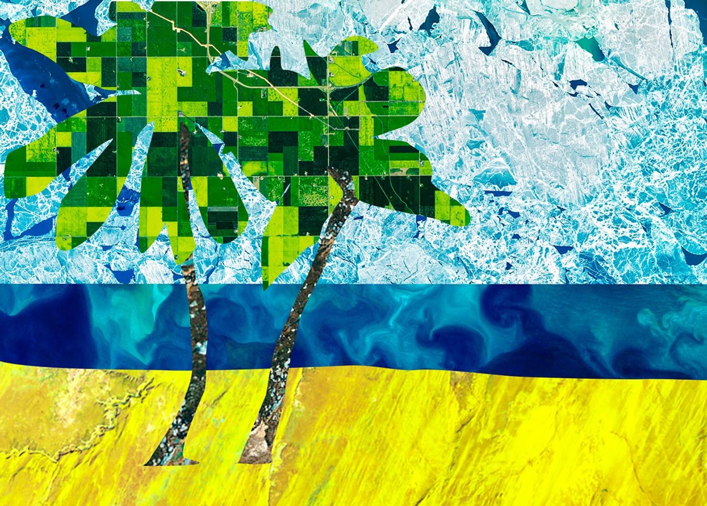
Stories & Visuals
Explore a collection of stories and visual resources that illustrate Landsat’s vital role in studying Earth’s surface and how the data benefit society.

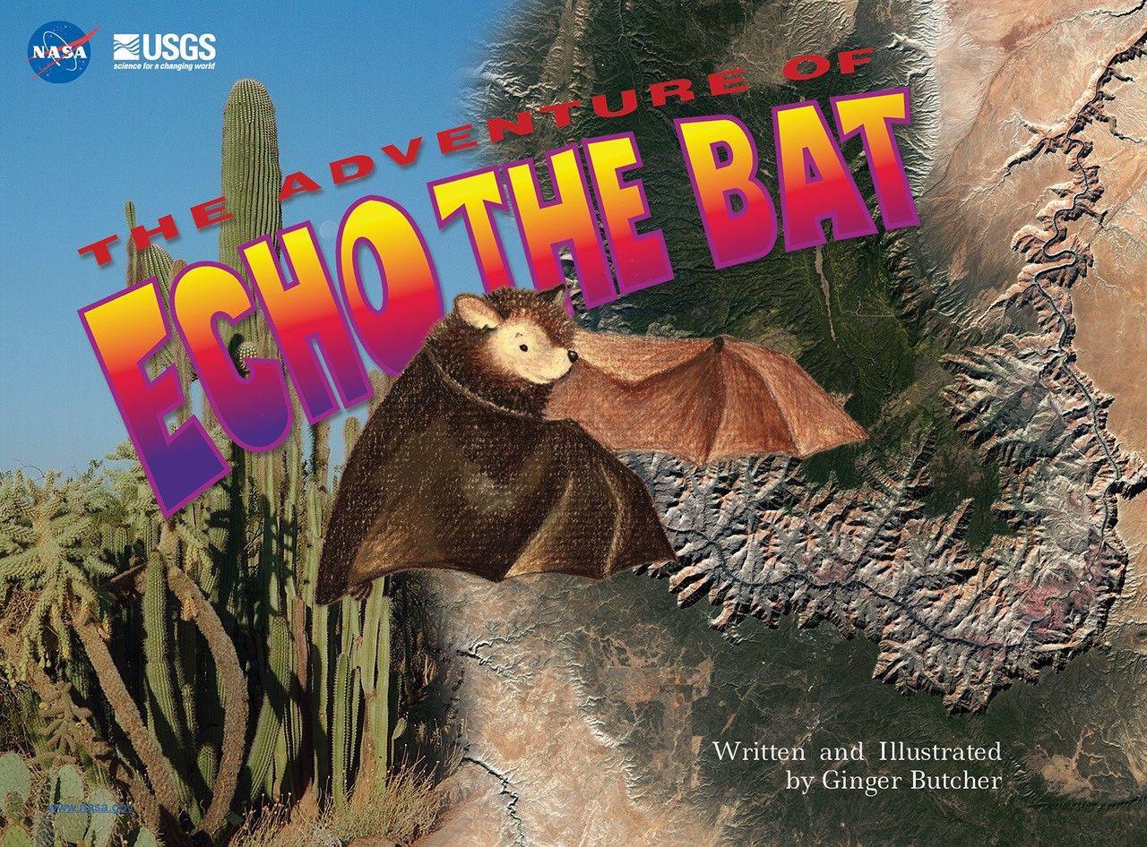
The Adventure of Echo the Bat
Follow the journey of a young bat named Echo as he makes his way from the high mountains of Arizona through cities and across deserts to find a bat cave to call home.
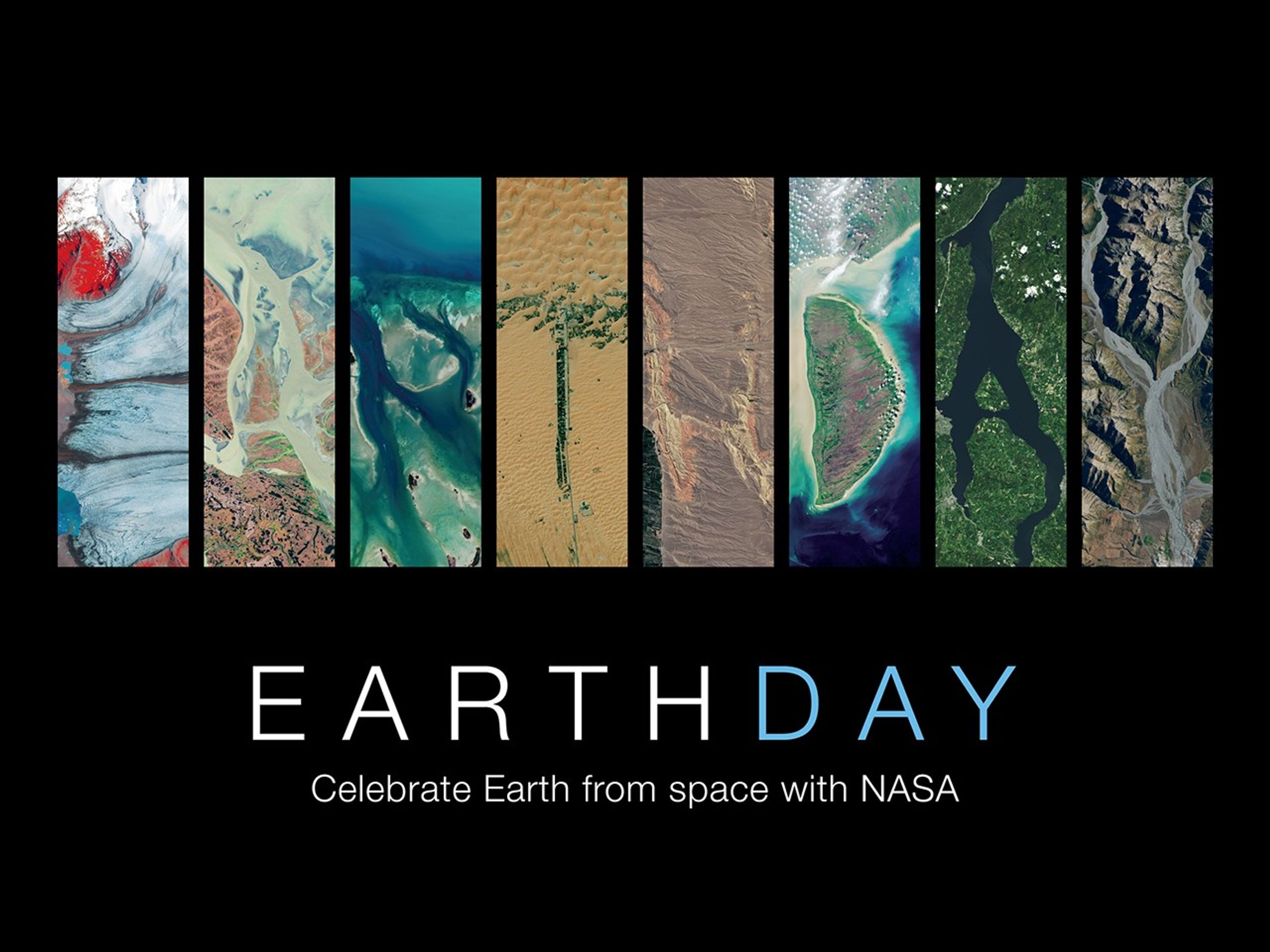
Earth Day: Celebrate Earth from Space with NASA Poster
Celebrate how NASA uses the unique vantage point of space to observe and understand our dynamic planet.
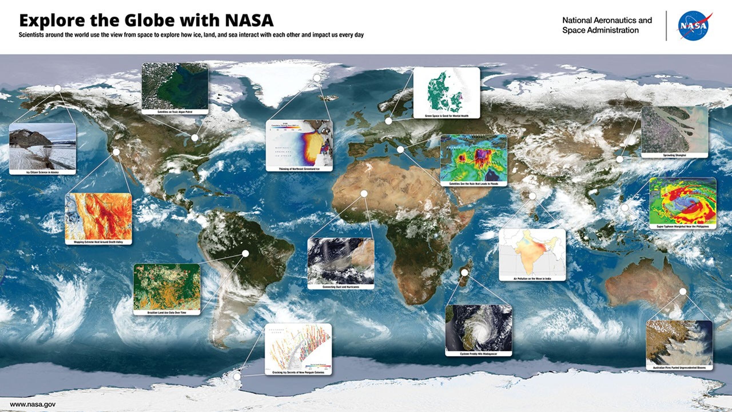
Explore the Globe with NASA Poster
Explore how scientists around the world use the view from space to explore how ice, land, and sea interact with each other and impact us every day.
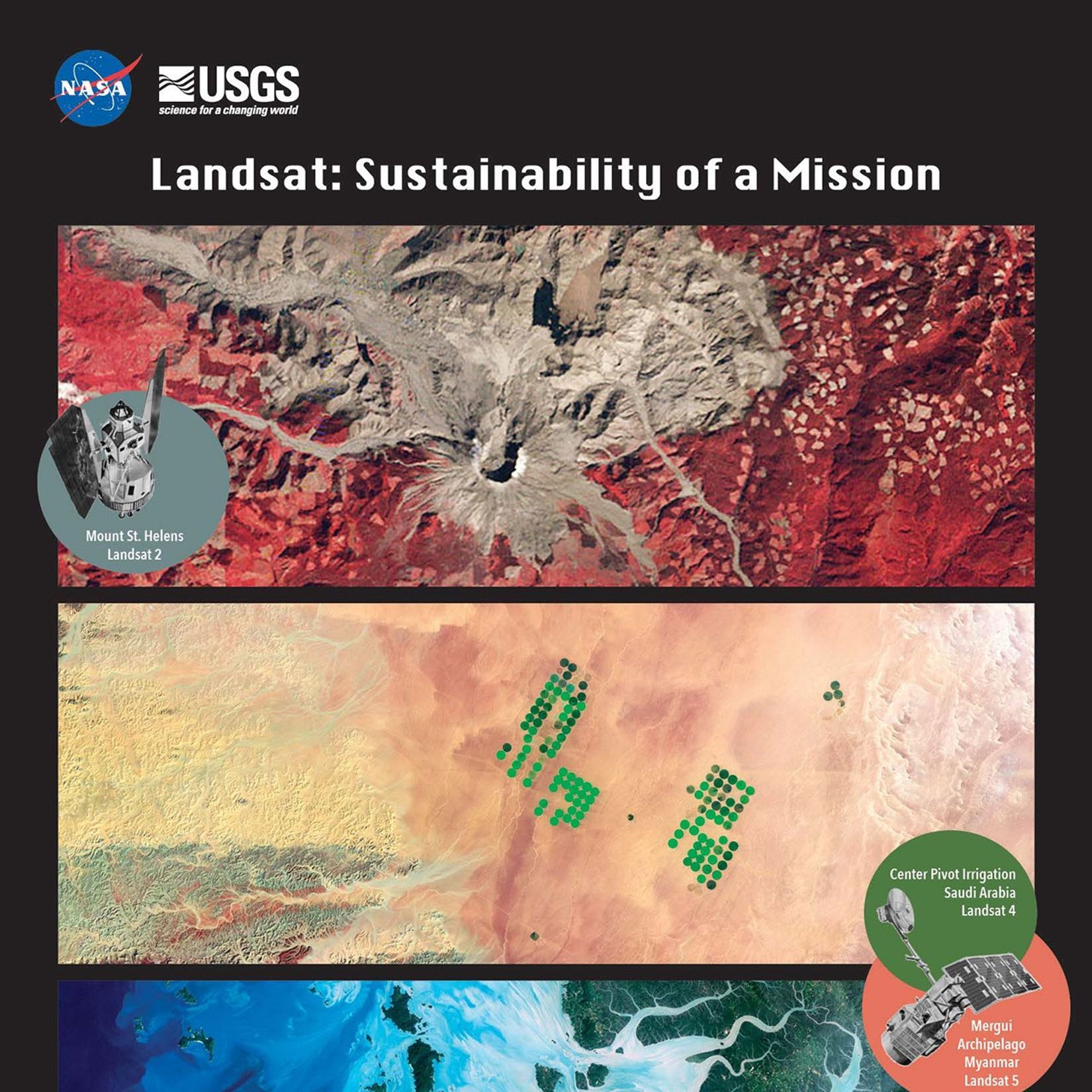
Sustainability of a Mission Poster
Learn how the longest continuous archive of Earth observation plays a critical role in monitoring and managing resources.
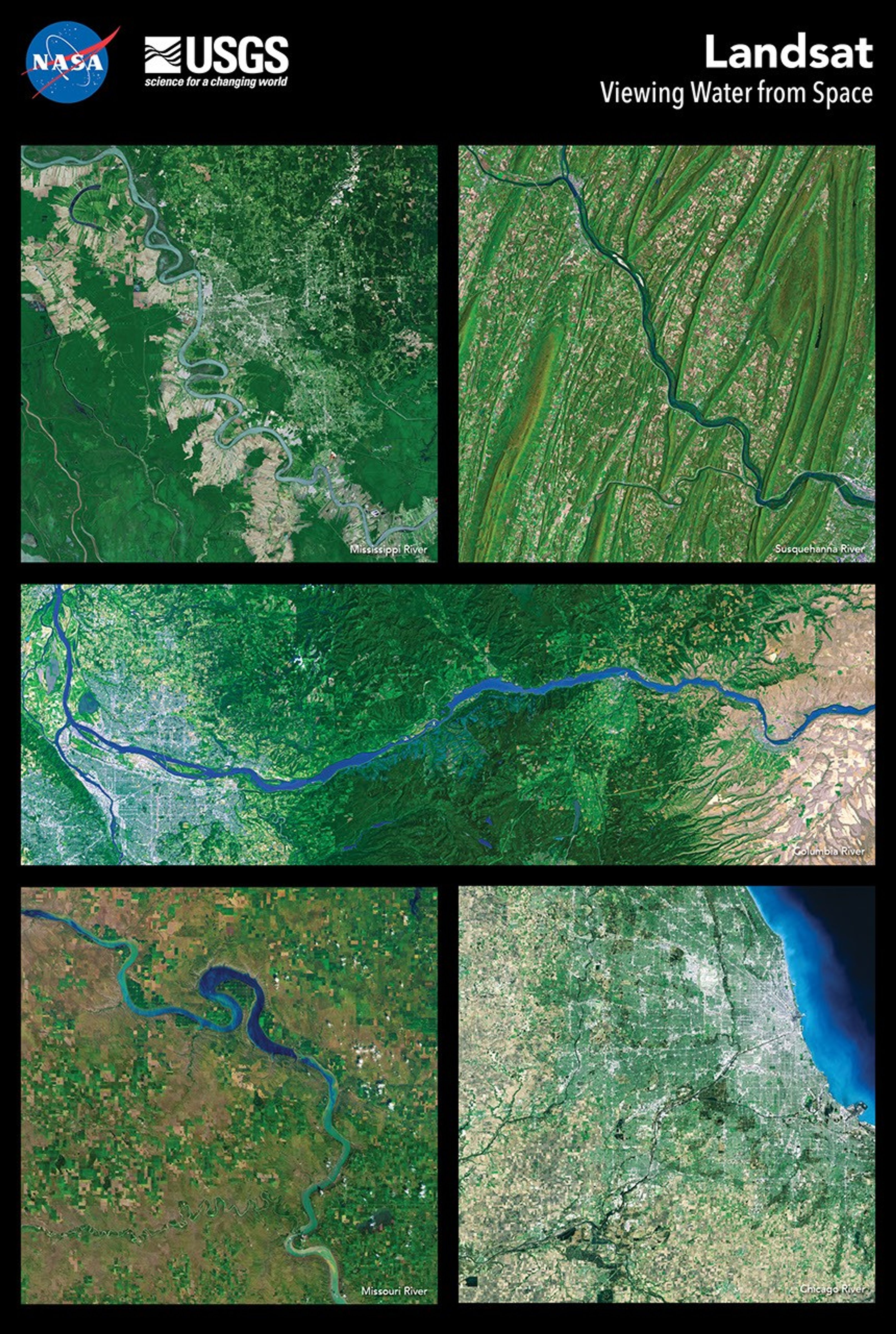
Viewing Water from Space Poster
Explore how scientists have used Landsat’s data record to better understand the interactions between climate and plants, animals, soils, and water.
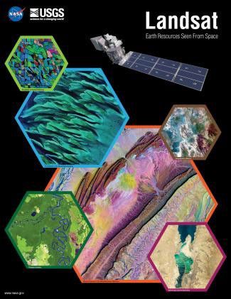
Earth Resources Seen from Space Poster
Explore stunning Landsat imagery from six different sources of Earth materials: evaporation ponds, mines and quarries, water, rangelands, croplands, and forests.
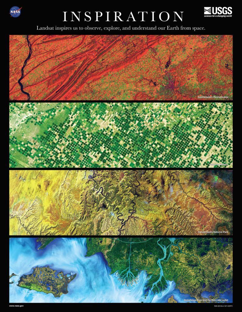
Inspiration Poster
Learn how Landsat inspires us to observe, explore, and understand Earth from space.
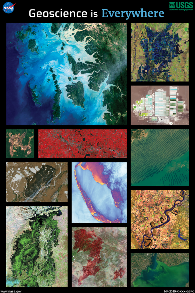
Geoscience is Everywhere Poster
Explore how geoscientists use Landsat data to study Earth from the biosphere to the cryosphere.
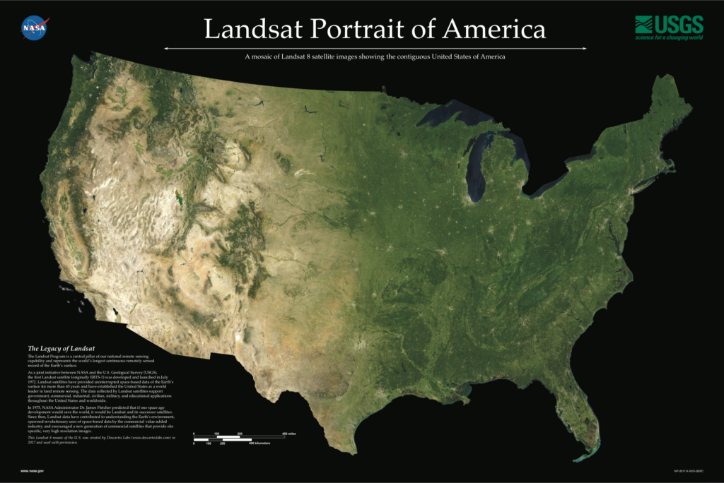
Landsat Portrait of America Poster
Learn how the data collected by Landsat satellites support government, commercial, industrial, civilian, military, and educational applications throughout the United States and worldwide.
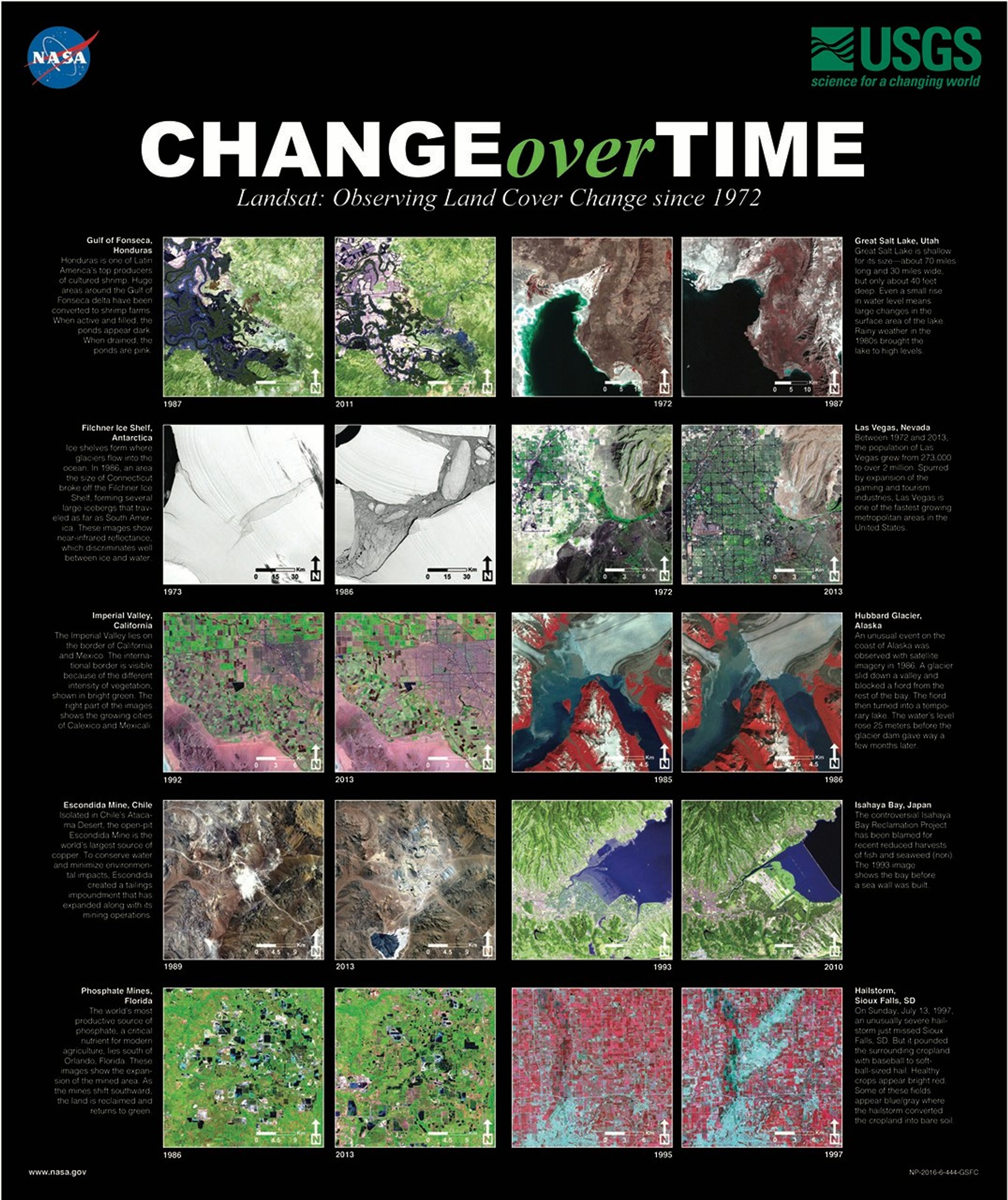
Change Over Time poster
Discover how Landsat has viewed Earth's changing surface since 1972, from urban growth to shifting coastlines.
Geographia
Discover the history of how humans have mapped our earth from petroglyphs to satellite imagery.
Featured Story
The Adventure of Echo the Bat
Are you ready for an adventure?
Follow the journey of a young bat named Echo as he makes his way from the high mountains of Arizona through cities and across deserts to find a bat cave to call home.
With beautiful artwork and Landsat images of Arizona’s landscape, this interactive story will delight readers young and old.
Additional Resources
Access additional Landsat materials and resources that support education, outreach, and community programming.

STELLA: DIY Spectrometer
The STELLA (Science and Technology Education for Land/Life Assessment) is a DIY spectrometer to help students learn about remote sensing and understand how Earth observing satellites like Landsat work.
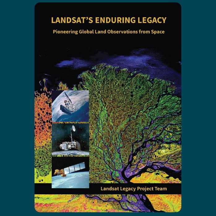
Landsat's Enduring Legacy Book
Discover the story behind the first satellite program designed to look at land. Landsat’s Enduring Legacy traces the remarkable evolution of the Landsat program, highlighting the people and technological advances that made it possible.
Quantifying Changes in Land Over Time with Landsat
Lesson plan for grades 7-10 introduces students to identifying and quantifying changes in land cover over time using Landsat images.
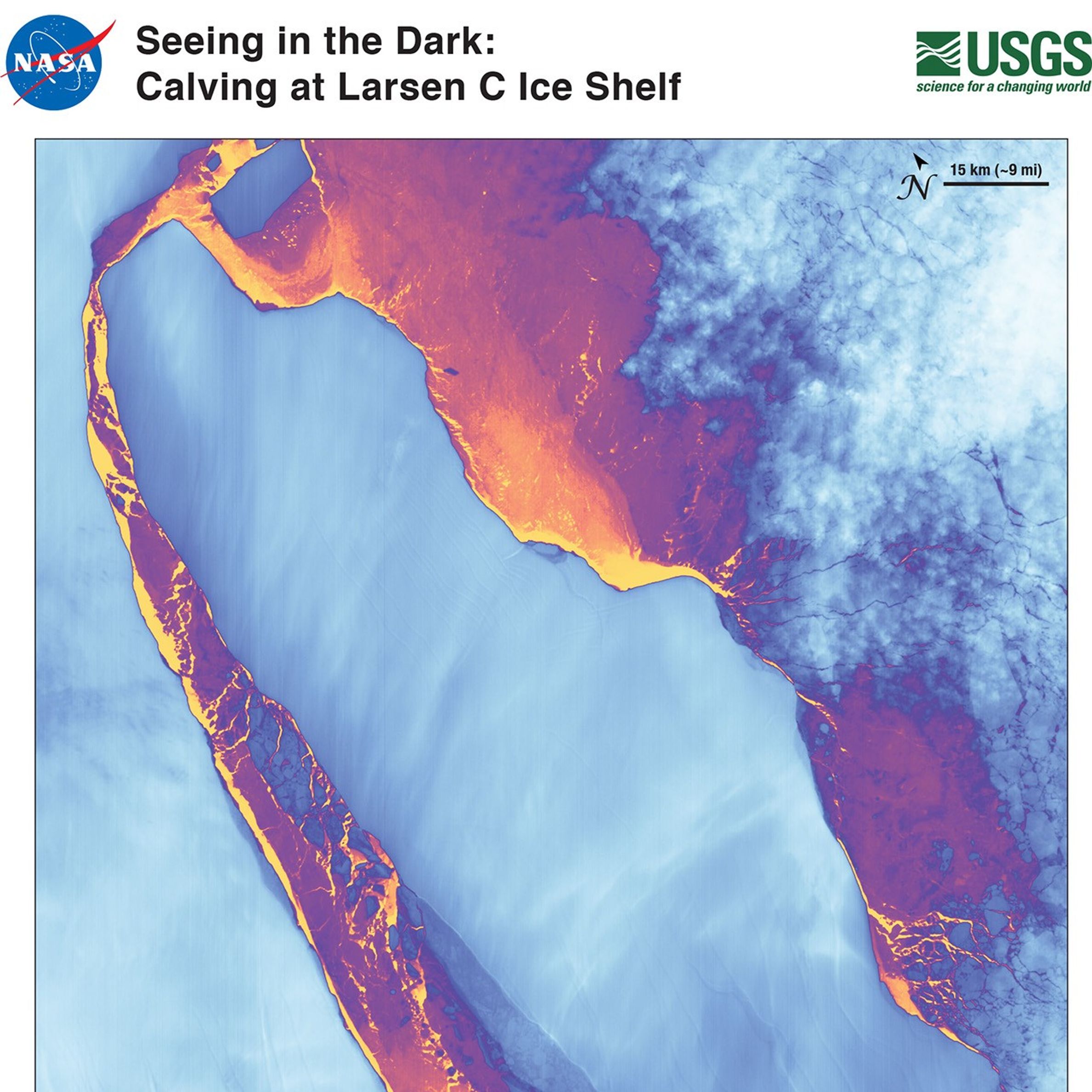
Iceberg A-68 Lithograph
Discover how Landsat 8's Thermal Infrared Sensor (TIRS) "sees in the dark" to monitor icebergs in the Antarctic winter.
