























Suggested Searches

1 min read

Fires in Southwestern Australia

Instruments:
Topics:
2009-10-16 00:00:00
October 16, 2009

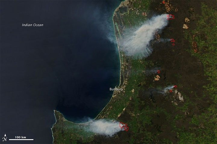
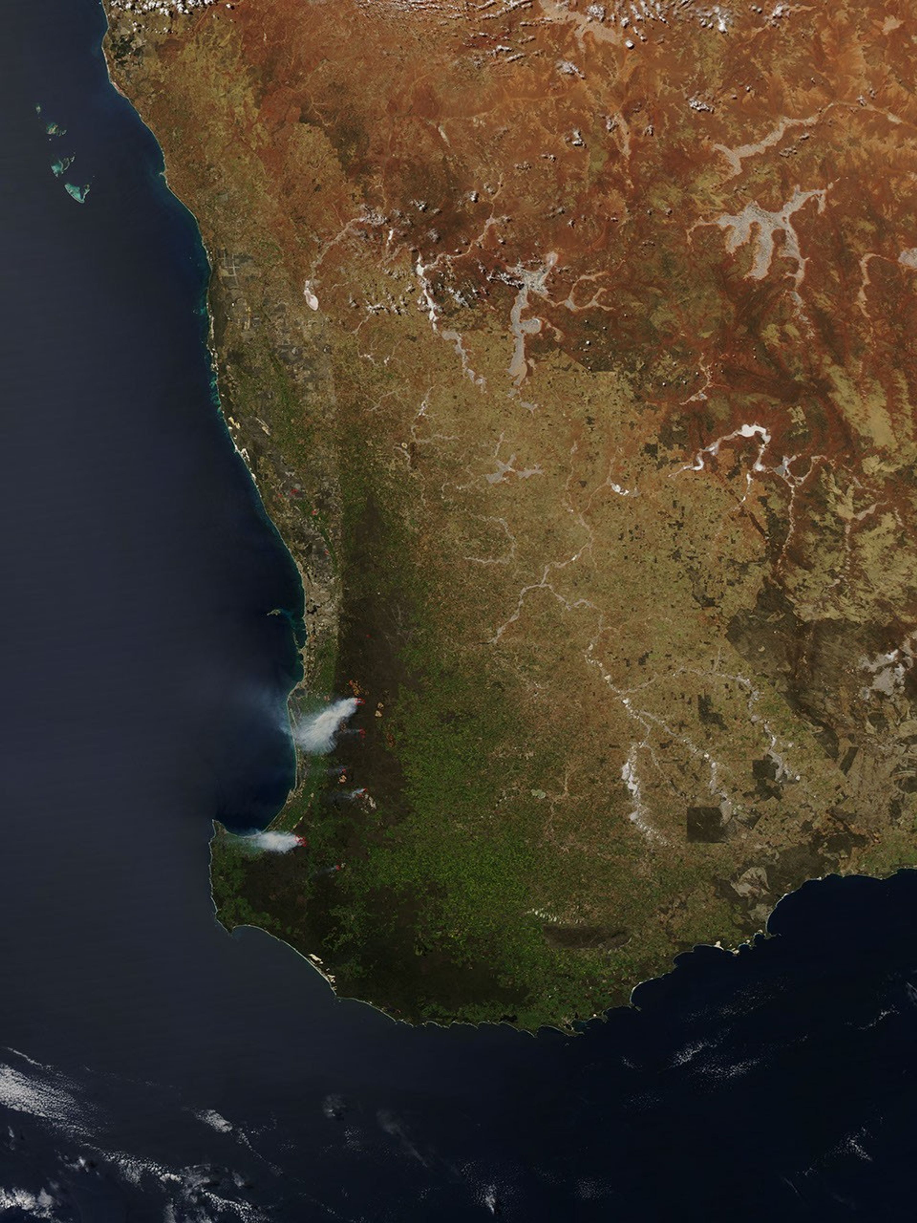
Multiple fires burned in Western Australia south of Perth on October 16, 2009. The Moderate Resolution Imaging Spectroradiometer (MODIS) on NASA’s Aqua satellite captured this true-color image the same day. Red outlines, associated with high surface temperatures, mark the location of actively burning fires. The two largest fires, one north and the other south of the city of Bunbury, produce thick plumes of smoke that blow toward the coast.

References & Resources

NASA Earth Observatory images courtesy Jeff Schmaltz, MODIS Rapid Response Team at NASA GSFC. Caption by Michon Scott.

You may also be interested in:

Stay up-to-date with the latest content from NASA as we explore the universe and discover more about our home planet.

Fighting Fire With Fire
3 min read

In fire-prone ecosystems in Australia's Northern Territory, prescribed burns are lit to minimize the severity of fires later in the…

Article
Ontario Wildfire Smoke Moves East
3 min read

Canadian wildfires sent plumes of smoke streaming over Ontario, Quebec, and parts of the U.S. Midwest and Northeast.

Article
Fires Tear Through Nebraska Grasslands
3 min read

Dry, warm, and windy conditions across the U.S. Great Plains led to extreme fire activity in March 2026.

Article




