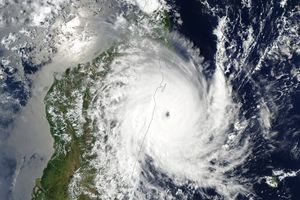
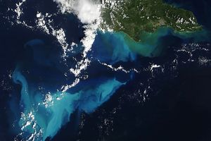
At 06:00 Universal Coordinated Time on October 30, 2009—an hour after this image was captured—the U.S. Navy Joint Typhoon Warning Center reported that Typhoon Mirinae had sustained winds of 85 knots (98 miles per hour) with gusts up to 105 knots (121 mph), making it the equivalent of a Category 2 hurricane on the Saffir-Simspon scale. It was heading west toward the Philippines at about 13 knots (15 mph); the storm was churning up 27-foot (8.2-meter) waves.
This natural-color image of the storm was captured by the Moderate Resolution Imaging Spectroradiometer (MODIS) on NASA’s Aqua satellite at 1:00 p.m. local time October 30. The eye of the storm was a large mass of roiling clouds located less than a hundred kilometers northeast of Cataduanes Island in the Philippines. Mirinae is the fourth typhoon to hit the Philippines this season, and heavy rains are likely to bring additional flooding.
References & Resources
NASA image by Jeff Schmaltz, MODIS Rapid Response Team. Caption by Rebecca Lindsey, NASA Earth Observatory.


