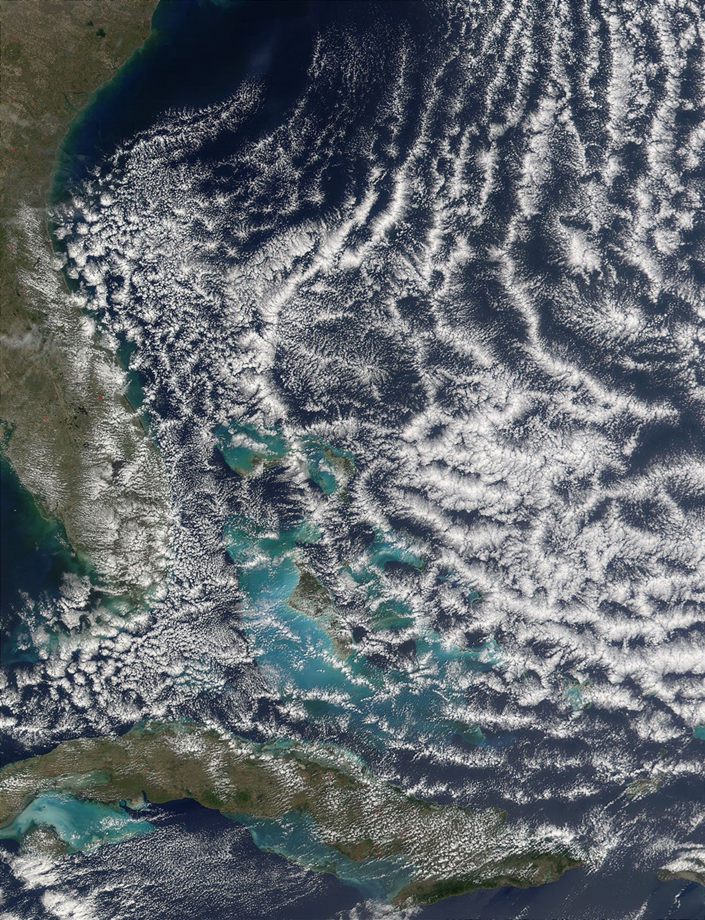

What atmospheric scientists refer to as open cell cloud formation is a regularoccurrence on the back side of a low-pressure system or cyclone in themid-latitudes. In the Northern Hemisphere, a low-pressure system will draw insurrounding air and spin it counterclockwise. That means that on the back sideof the low-pressure center, cold air will be drawn in from the north, and on thefront side, warm air will be drawn up from latitudes closer to the equator.
This movement of an air mass is called advection, and when cold air advectionoccurs over warmer waters, open cell cloud formations often result. ThisMODIS image shows open cell cloud formation over the Atlantic Ocean off thesoutheast coast of the United States on February 19, 2002. This particularformation is the result of a low-pressure system sitting out in the NorthAtlantic Ocean a few hundred miles east of Massachusetts. (The low can be seenas the comma-shaped figure in the GOES-8Infrared image from February 19, 2002.)
Cold air is being drawn down from the north on the western side of the lowand the open cell cumulus clouds begin to form as the cold air passes over thewarmer Caribbean waters. For another look at the scene, check out the MODIS Direct Broadcast Image from the University ofWisconsin.
References & Resources
Image courtesy Jacques Descloitres, MODIS Land Rapid Response Team at NASA GSFC