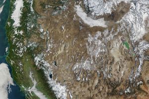
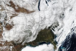
New maps of snow cover produced by NASA’s Terra satellite show that this year’s snow linestayed farther north than normal. When combined with land surfacetemperature measurements, the observations confirm earlier NationalOceanic and Atmospheric Administration reports that the United States wasunusually warm and dry this past winter.
The above map shows snow cover over the continental United States fromFebruary 2002 and is based on data acquired by the Moderate-Resolution Imaging Spectroradiometer(MODIS). The amount of land covered by snow during this period was much lower than usual. With the exception of the western mountain ranges and the Great Lakes region, the country was mostly snow free. The solid redline marks the average location of the monthly snow extent; white areas aresnow-covered ground. Snow was mapped at approximately 5 kilometer pixel resolution on adaily basis and then combined, or composited, every eight days. If a pixel wasat least 50 percent snow covered during all of the eight-day periods that month, it was mapped as snowcovered for the whole month.
For more information, images, and animations, read: Terra Satellite Data Confirm Unusually Warm, Dry U.S. Winter
References & Resources
Image by Robert Simmon, based on data from the MODIS Snow/Ice Global Mapping Project
None
