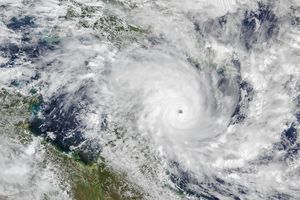
Tropical Storm Olga crossed over the Cape York Peninsula in northern Queensland on January 24, 2010. The Moderate Resolution Imaging Spectroradiometer (MODIS) on NASA’s Aqua satellite took this picture the same day. The storm, which does not have a discernible eye, spans the peninsula, hovering partly over the Gulf of Carpentaria in the west and the Coral Sea in the east. Clouds completely block the satellite’s view of Cape York.
On January 24, 2010, the U.S. Navy’s Joint Typhoon Warning Center reported that the storm was roughly 40 nautical miles (75 kilometers) north of Cairns, Australia, and had dissipated significantly, with maximum sustained winds of 35 knots (65 kilometers per hour) and gusts up to 45 knots (85 kilometers per hour). Australia’s ABC News reported that the storm had not caused much damage, despite bringing heavy rains to some areas.
References & Resources
- Joint Typhoon Warning Center. (2010, January 24). Tropical Cyclone 09P (Olga) Warning. Accessed January 25, 2010.
- Orr, K., Madison, M., Sexton, K. (2010, January 25). Far north tourist operators worried about ex-cyclones. ABC News. Accessed January 25, 2010.
NASA image by Jeff Schmaltz, MODIS Rapid Response Team, Goddard Space Flight Center. Caption by Michon Scott.


