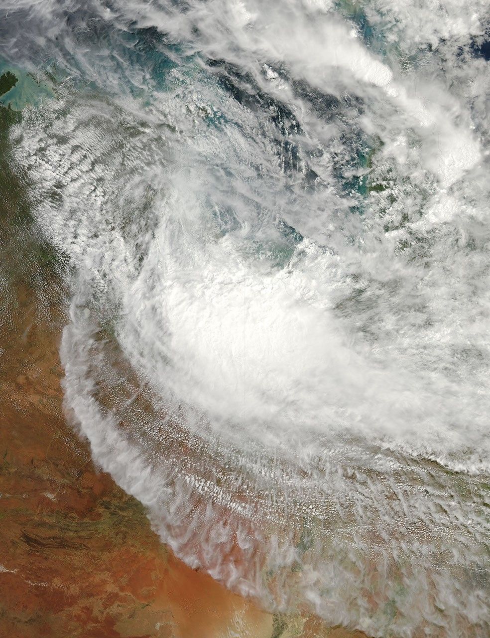
Remnants of Tropical Cyclone Paul lingered over the Gulf of Carpentaria and northern Australia on April 1, 2010. The Moderate Resolution Imaging Spectroradiometer (MODIS) on NASA’s Aqua satellite captured this natural-color image the same day. The thickest clouds occur on the Northern Territory-Queensland border, but clouds also extend across the Gulf of Carpentaria, Cape York Peninsula, and Arnhem Land.
According to a March 31 report in the North Queensland Register, Paul’s strength had abated, but residents could still expect strong winds, heavy rains, and high seas. There was a possibility that the storm might move eastward, back across warm waters of the Gulf, and re-intensify.
References & Resources
- Palmer, M (2010, March 31). Tropical Cyclone Paul weakens. North Queensland Register. Accessed March 30, 2010.
NASA image by Jeff Schmaltz, MODIS Rapid Response Team at NASA GSFC. Caption by Michon Scott.