


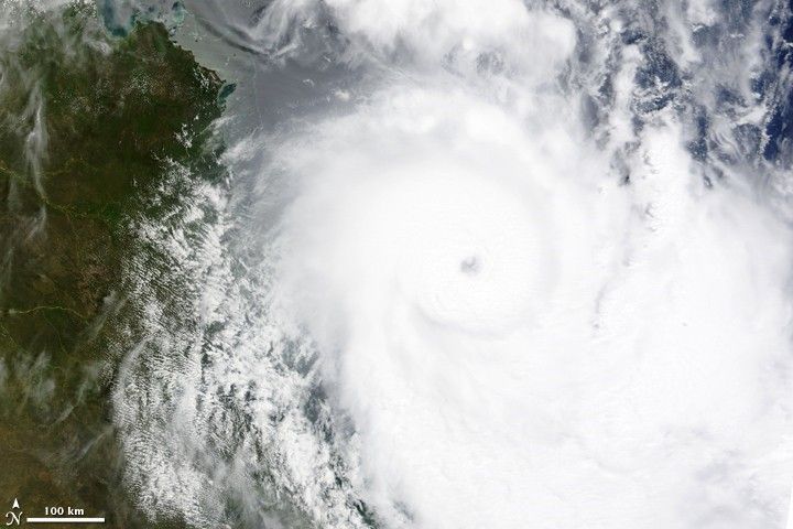
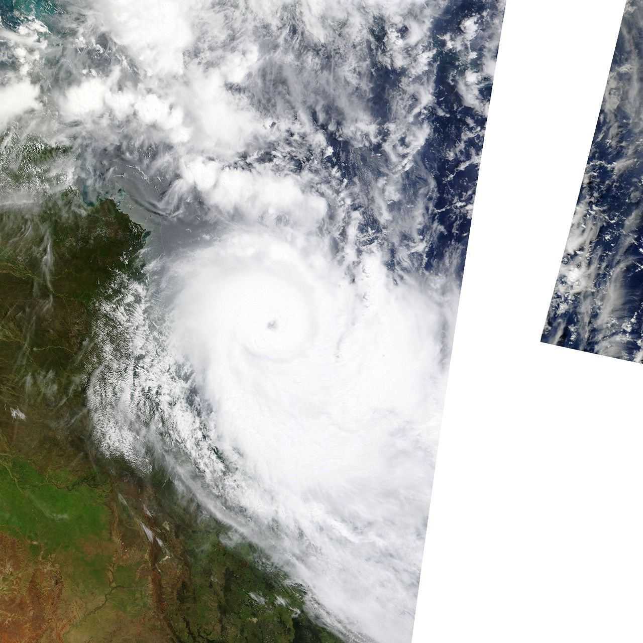
With winds near 240 kilometers per hour (150 miles per hour or 130 knots), Tropical Cyclone Hamish was a powerful Category 4 storm (on the Saffir-Simpson Scale) as it moved down the northeast coast of Australia on March 7, 2009. The storm formed on March 5 off the Queensland coast, and intensified as it moved southeast just off shore. By the time the Moderate Resolution Imaging Spectroradiometer (MODIS) on NASA’s Terra satellite captured this image on the morning of March 7, the storm was well-formed. The intense storm has a distinct eye, surrounded by a wall of towering clouds. As of March 7, the Joint Typhoon Warning Center predicted that Hamish would come ashore just north of Brisbane on March 9. The storm was forecast to weaken before making landfall.
References & Resources
NASA image courtesy the MODIS Rapid Response Team at NASA GSFC. Caption by Holli Riebeek.


