




Suggested Searches

1 min read

Fires in the Yucatan

Instruments:
Topics:
Fires in the Yucatan
April 25, 2017

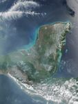
On April 25, 2017, the Visible Infrared Imaging Radiometer Suite (VIIRS) on the Suomi NPP satellite acquired this natural-color image of widespread fire activity across the Yucatán Peninsula. Each red hot spot is an area where the thermal bands on the instrument detected temperatures higher than normal. For a false-color image of these fires, visit NOAA’s Environmental Visualization Laboratory.

  1. Further Reading

  2. Mongabay (2017, April 17) Guatemala declares state of emergency as rainforest goes up in flames. Accessed May 1, 2017.
  3. NASA (2017, May 1) Fires in Yucatan. Accessed May 1, 2017.

References & Resources

NASA image by Jeff Schmaltz, LANCE/EOSDIS Rapid Response. Caption by Adam Voiland.
You may also be interested in:

Stay up-to-date with the latest content from NASA as we explore the universe and discover more about our home planet.

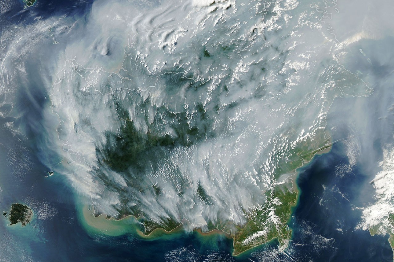
Peatland Fires Darken Skies in Indonesia
6 min read

With Indonesia gripped by drought, fires are smoldering on the surface and underground.

Article
Smoke Streams Across Eastern Washington
3 min read

Wildland fires in early August 2026 pushed air quality to unhealthy levels, destroyed hundreds of structures, and triggered mandatory evacuations…

Article
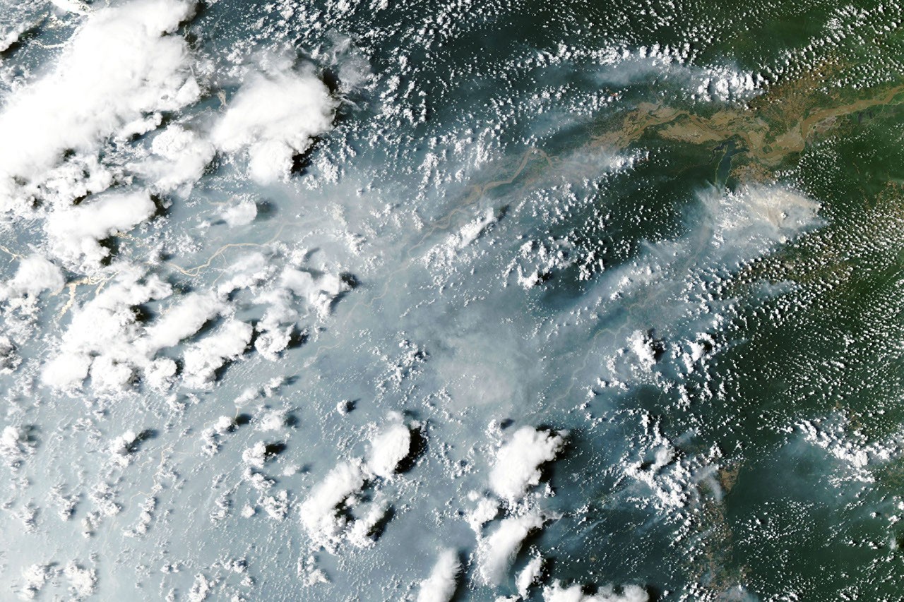
Fires Arrive in the Amazon Rainforest
6 min read

During El Niño, a cascade of fires across the tropics begins in equatorial Asia and continues in the central and…

Article