




















Suggested Searches

1 min read

Fires Scorch Oregon

Instruments:
Topics:
2002-07-21 00:00:00
July 21, 2002

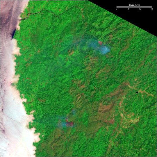
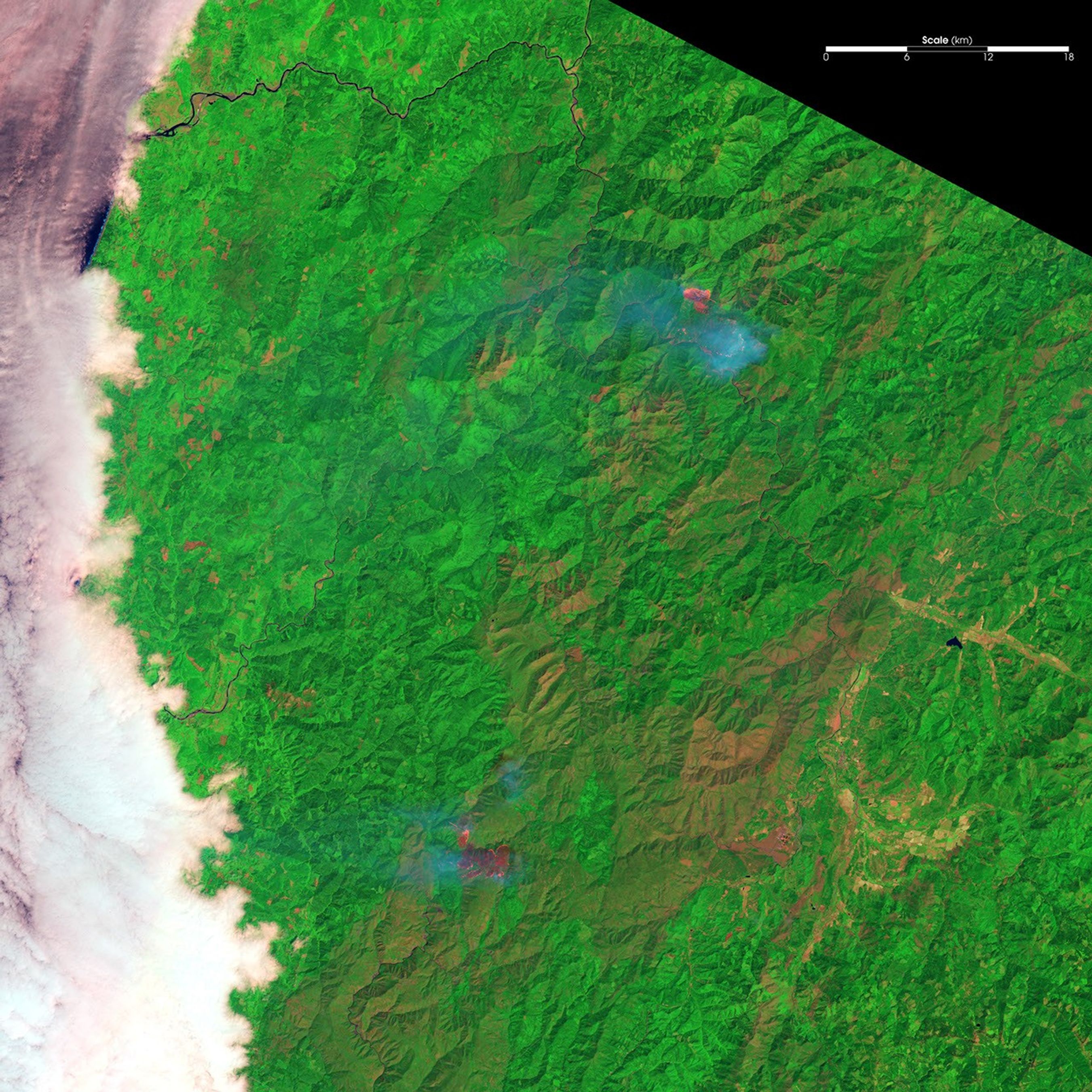
In southwestern Oregon, the Florence Fire (north) and the Sour Biscuit Fire (south) continue to burn virtually out of control. Numerous evacuation notices have been issued for residents in the area as the fires remain difficult to control due to the steep, rugged terrain of the Klamath Mountains.

This false-color image from the Landsat 5 Thematic Mapper was acquired on July 21, 2002. In the image, vegetation is green, burned areas are deep magenta, active fire is bright pink, and smoke is light blue.

References & Resources

Image provided by the USGS EROS Data Center Satellite Systems Branch.
You may also be interested in:

Stay up-to-date with the latest content from NASA as we explore the universe and discover more about our home planet.

Fires Tear Through Nebraska Grasslands
3 min read

Dry, warm, and windy conditions across the U.S. Great Plains led to extreme fire activity in March 2026.

Article
Smoke Rises Over Big Cypress National Preserve
2 min read

The National fire has burned tens of thousands of acres within the Florida preserve, fueled by vegetation dried by prolonged…

Article
Fires Rage in Georgia
3 min read

Firefighters are battling two destructive blazes in the southern part of the state as drought grips the U.S. Southeast.

Article





