News
The Landsat program does more than just collect data. It helps write Earth's story.
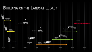
Since 1972, Landsat satellites have systematically documented our planet's changing surface, from shifting agricultural patterns and urban expansion to forest loss and coastal erosion. This continuous record provides scientists with invaluable data to understand long-term environmental change.
Filters

The Nebraska Sandhills—the largest system of sand dunes in the Western Hemisphere—stretch across about one-quarter of the state.
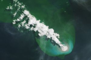
Buoyant volcanic rock fragments from an underwater eruption drifted across the Bismarck Sea and choked island coasts.

The city's metro area has pushed westward since it last hosted World Cup matches in 1986, expanding across a landscape…
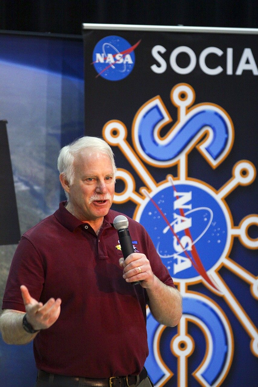
Landsat’s Jim Irons won the prestigious William T. Pecora Award. Irons, now an emeritus scientist at NASA Goddard Space Flight Center,…

Once below a shallow sea, Jabal al Fāyah now stands above the desert in the United Arab Emirates as a…
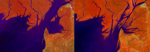
NASA satellite images show that mangrove forests, which protect shorelines, support coastal ecosystems, and store large amounts of carbon along…

A wildland fire charred grassland, coastal sage scrub, and chaparral across one-third of the island, the second largest of the…

Award: The William T. Pecora Award recognizes outstanding scientific contributions toward a better understanding of Earth through satellite or aerial…

Wild disturbances are on the rise, while land disturbed by human activity has been decreasing.
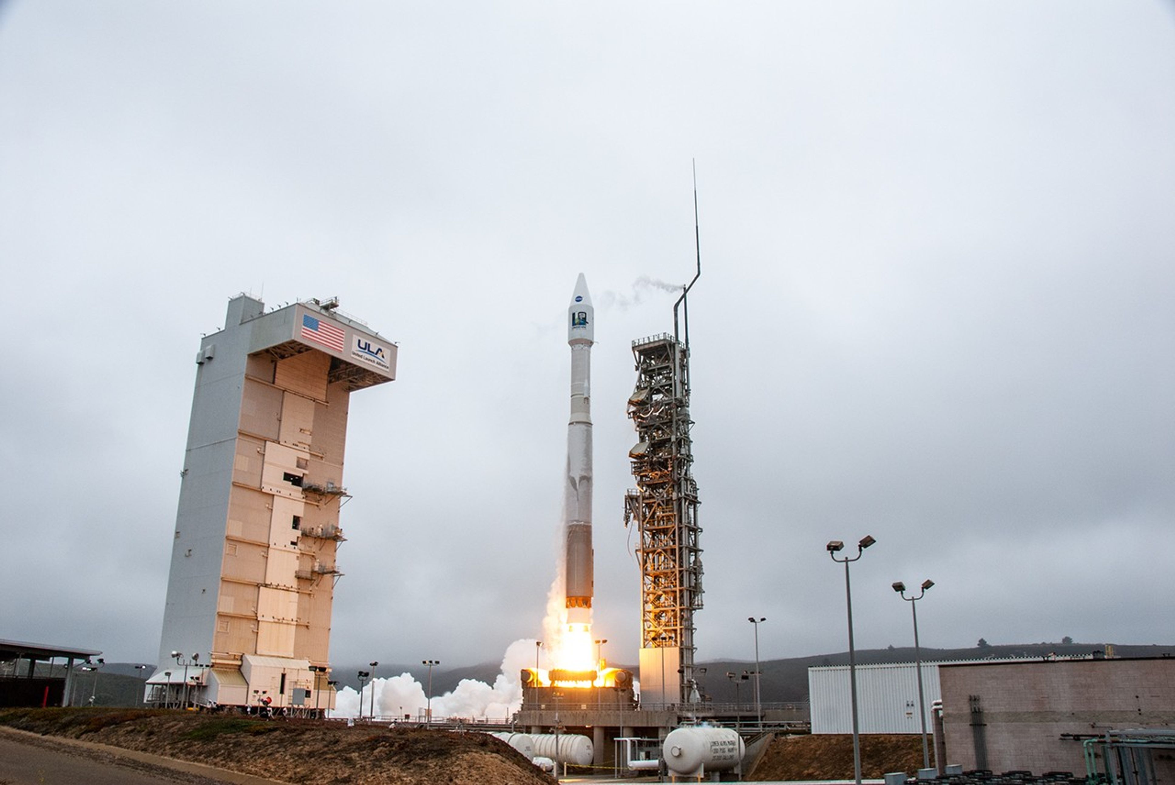
The Landsat 10 Spacecraft Draft Request for Proposal (DRFP) is available for review via SAM.gov.

The volcano on Indonesia’s Halmahera Island routinely ejects ash, volcanic gases, and volcanic bombs.
DIST-ALERT, a global land change monitoring system, is revolutionizing forest management.