Case Studies & eBooks
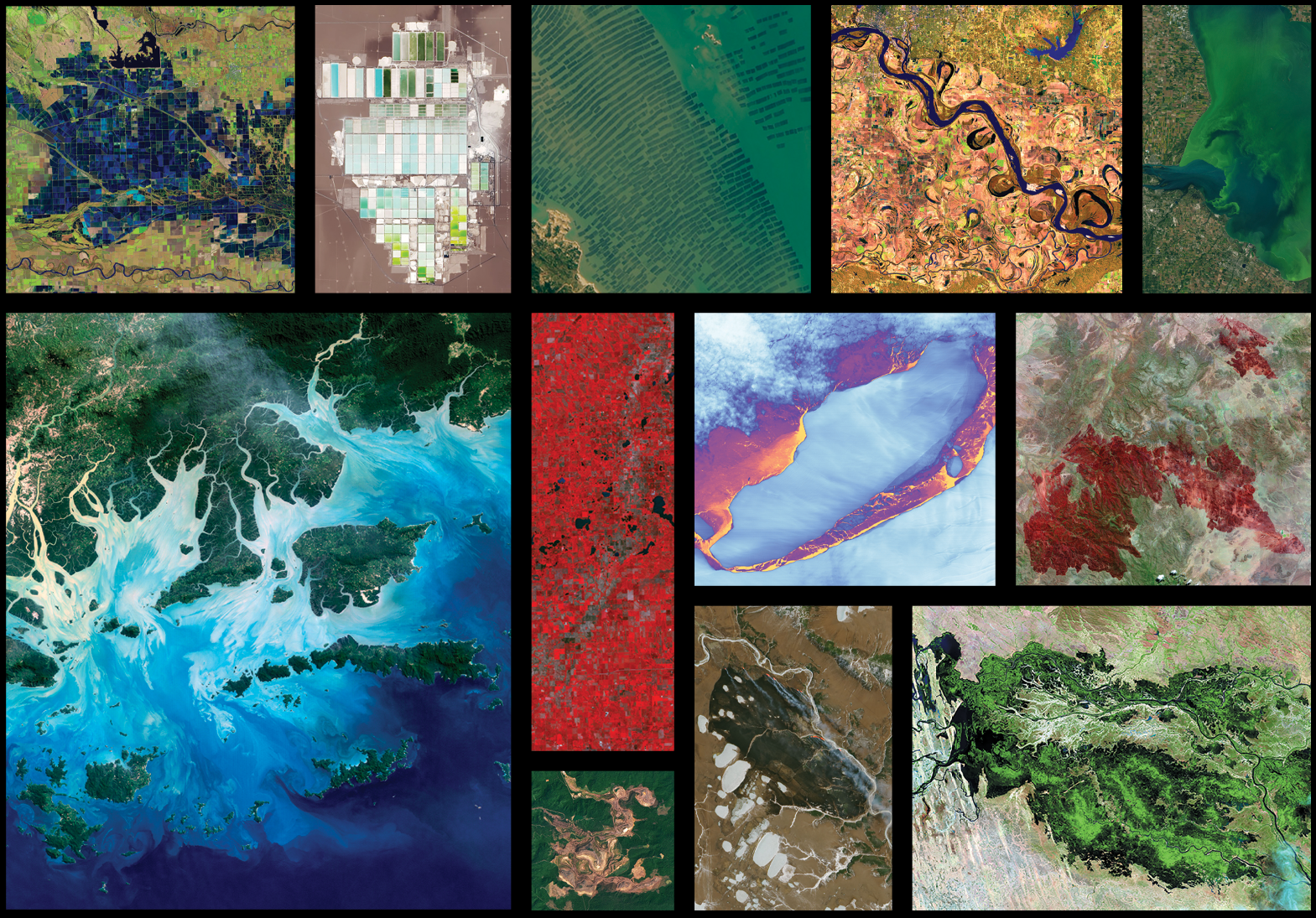
In 1972, Stewart Udall—a former Secretary of the Interior and an original Landsat visionary—said, “I thought an Earth applications program was a perfect means of bringing the benefits of space back to Earth.” Udall was one of the first people to realize that Earth observation—turning space-based cameras and sensors back towards us—provided a way to better protect and provide for Earth’s inhabitants. When the first Landsat launched in 1972, the world population was 3.8 billion and space policy experts of the time considered improving environmental management in order to protect humankind a top-priority for the U.S. They were in favor of “those applications of space technology which produce direct tangible benefits for society in general.” Landsat did just that.
By the time the latest Landsat, Landsat 8, launched in 2013, world population was over 7 billion. By amassing information about changes to Earth’s land surface for more than 50 years, the Landsat program has provided decision makers tasked with managing Earth’s resources for the planet’s burgeoning population with integral information about the world’s food, forests, water, and how these and other land resources are being used. The case studies featured here highlight some of these tangible benefits of Landsat.
Benefit Case Studies & eBooks
-
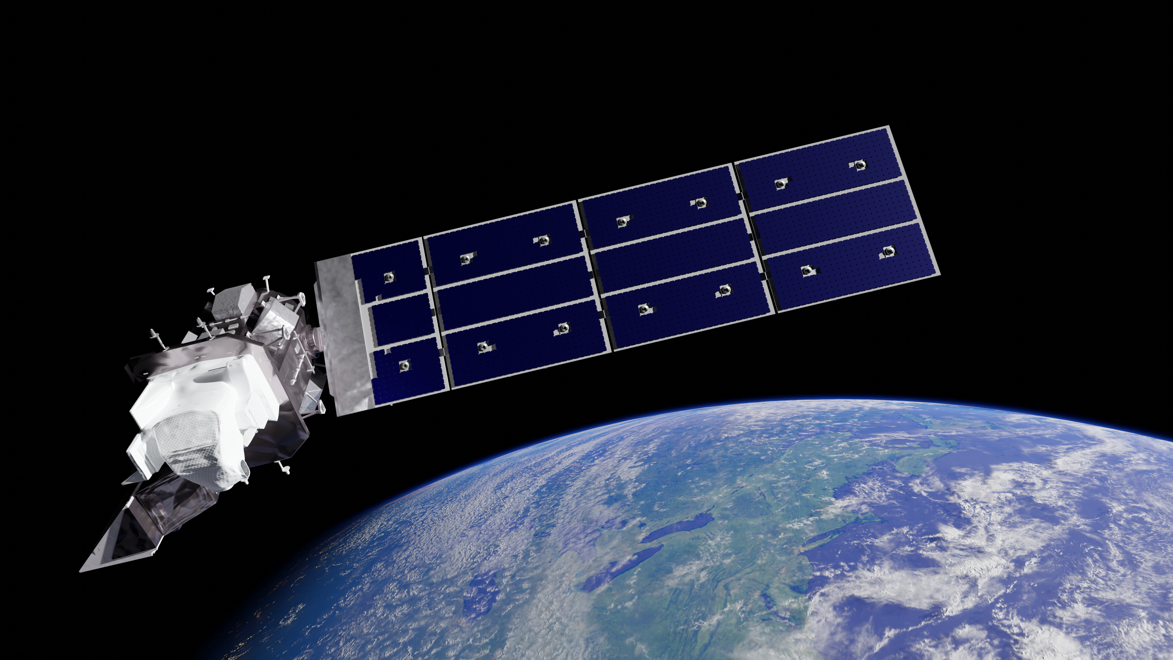
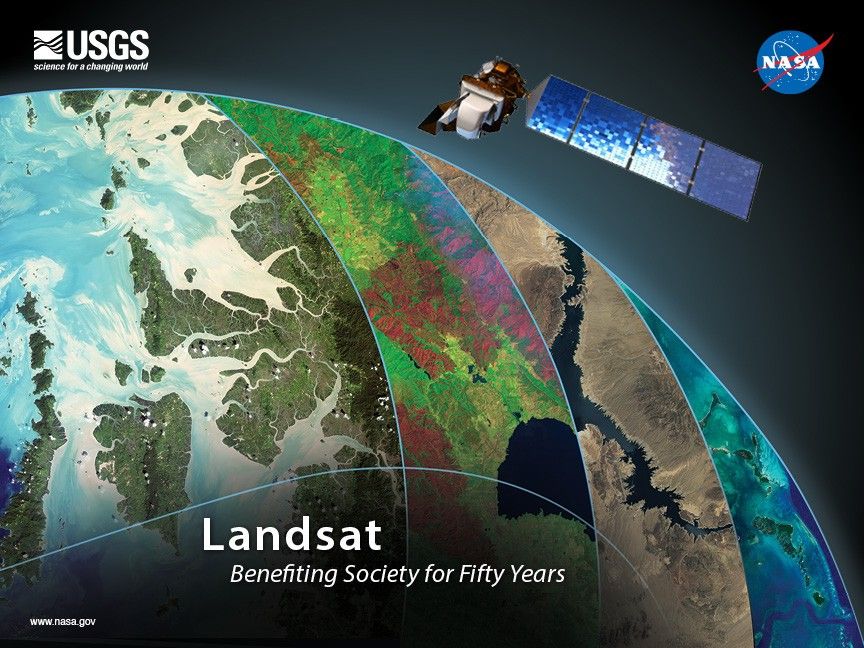
Landsat: Benefiting Society for Fifty Years
By amassing information about changes to Earth’s land surface for more than 50 years, the Landsat program has provided decision makers tasked with managing Earth’s natural resources with integral information about the food, forests, and water. These case studies highlight some of valuable and tangible benefits of Landsat.
Landsat Case Studies Book 2018 -
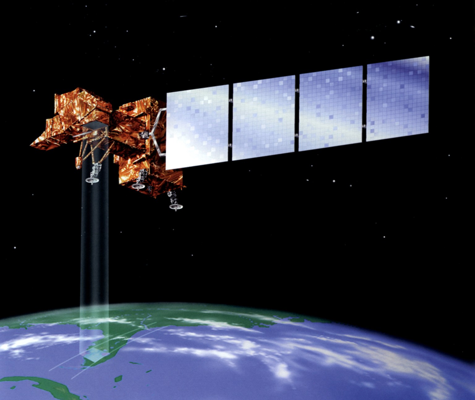
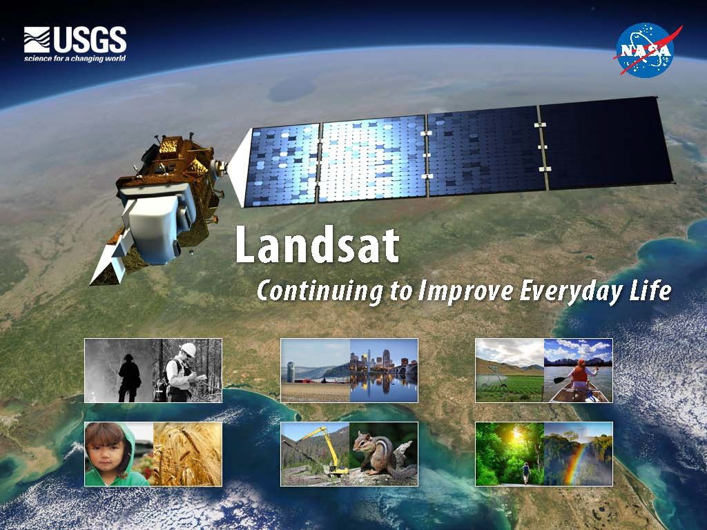
Landsat: Continuing to Improve Everyday Life
Since the launch of Landsat 1 in 1972, Landsat satellites have become an integral part of many operational land management activities. Landsat satellites provide decision makers with key information about the world’s food, forests, water and how these and other land resources are being used.
 Landsat Case Studies Book 2013
Landsat: Benefiting Society for Fifty Years eBook(2018)
-
01
Forest Management
Forests are commodities. The biggest driver of deforestation worldwide is the economic value of trees and the land they stand on. With the high demand for agricultural land and wood products, deforestation has become an intractable problem.
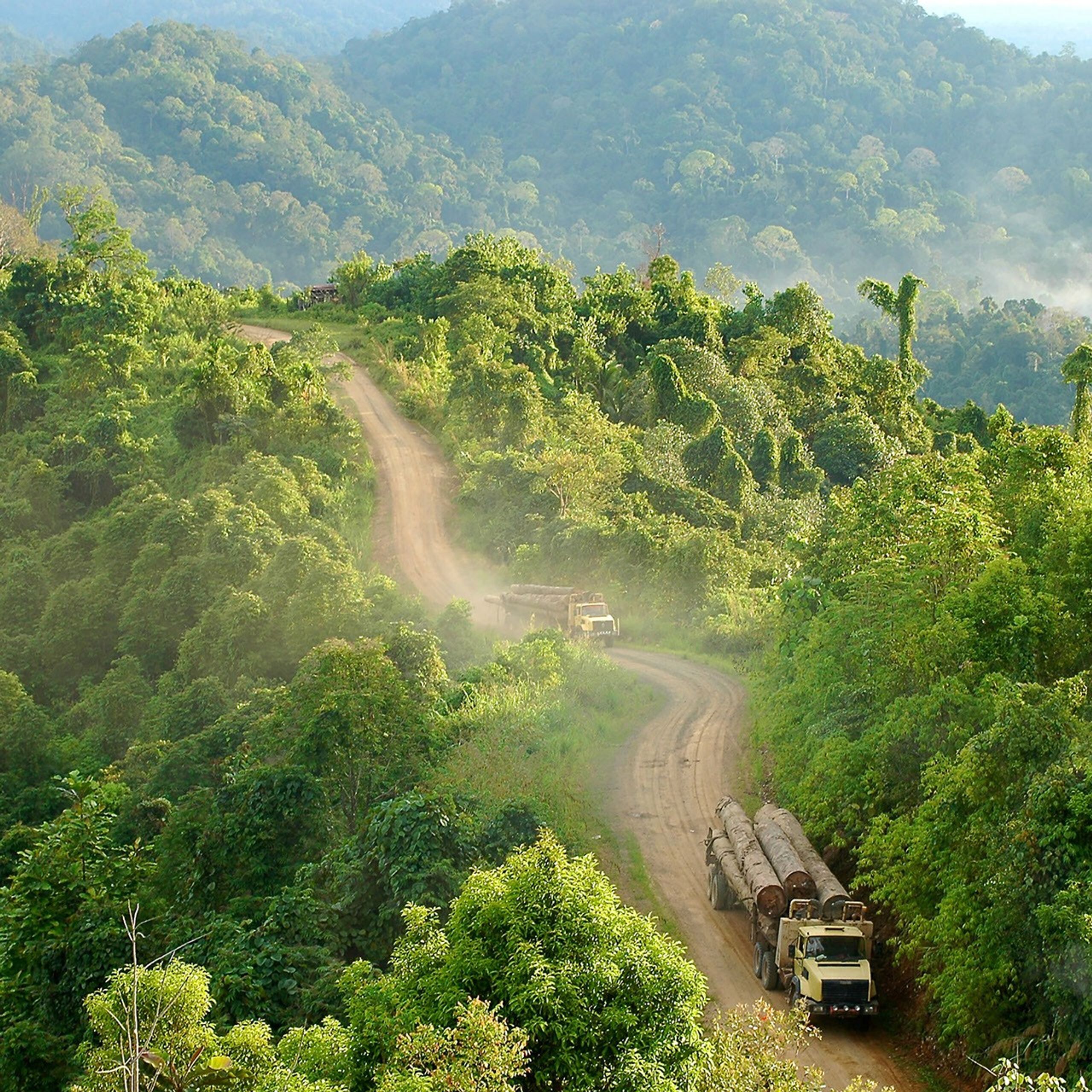 Transporting logs along a logging road in Gunung Lumut, East Kalimantan, Indonesia. The detection of new roads in tropical forests is important since they are often a harbinger of deforestation.Photo credit: Jan van der Ploeg, CIFOR
 -
02
Bathymetry
On the most recent nautical chart of the Dry Tortugas, a grouping of islands that lies seventy miles west of Key West, Florida, Landsat data provided the estimated water depths for areas too shallow and difficult to be reached by the National Oceanographic and Atmospheric Administration’s (NOAA) surveying ships.
 Recreational boaters anchored off of Fort Jefferson. The fort, located on Garden Key in the Dry Tortugas National Park, Florida, is a popular destination for cruisers.Photo credit: Varina Patel
 -
03
Agriculture
The answer to this riddle could end up rippling across the country and the planet—from places like the Upper Klamath and Rio Grande basins to every other arid and semi-arid landscape where water consumption drives community discussion. When it comes to water, when does less actually mean more?
 Evapotranspiration (ET), the combination of evaporation from wet soils and water bodies, as well as transpiration through plants, is the primary way water is lost from the Upper Rio Grande Basin. A study looking at consumptive water use in the basin uses satellite data to quantify where and when ET occurs.Photo credit: USGS
 -
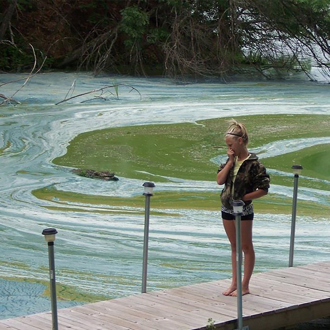 A young girl holds her nose to avoid the unpleasant smells caused by an algal bloom on Tainter Lake in Menomonie, Wisconsin in October 2014.Photo credit: Dick R., National Environmental Education Foundation
 -
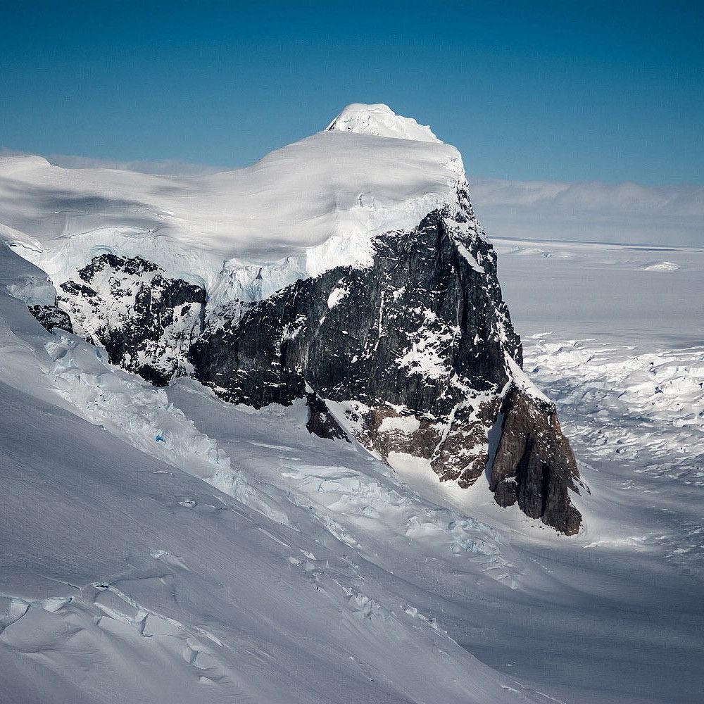 A rock outcropping along the Fleming Glacier on the west Antarctic Peninsula that feeds the accelerating glaciers in Marguerite Bay.Photo credit: NASA, Operation Ice Bridge
 -
06
Fire
In the aftermath of a wildfire, Landsat data help firefighters and scientists assess burn severity, guide recovery efforts, protect communities, and track how the land recovers over time, while also helping predict where future fires are more likely to occur.
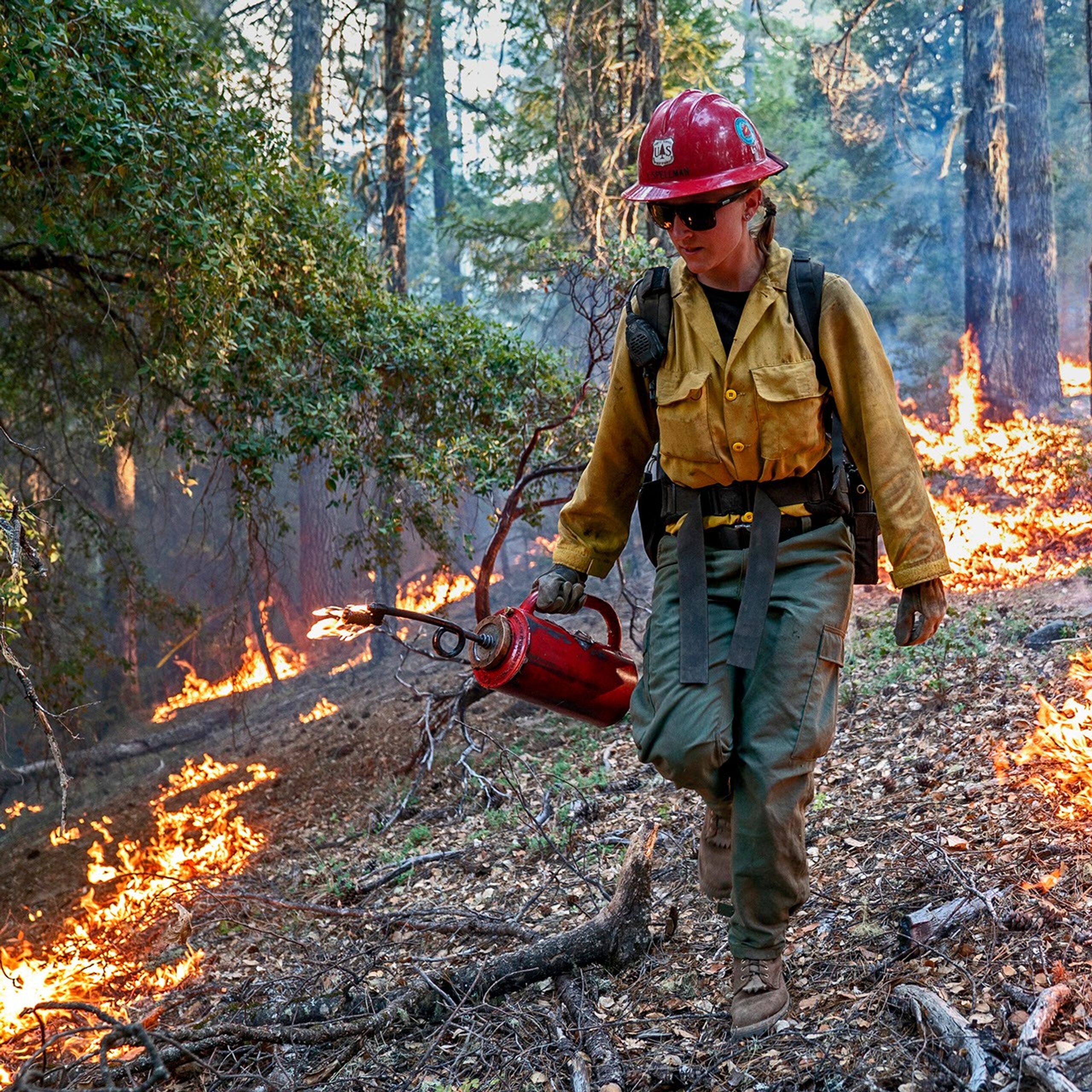 Laura Spellman, a Hot Shot firefighter, uses a drip torch to burn lower vegetation in an attempt to contain a fire in California’s Mendocino National Forest.Photo credit: Cecilio Ricardo, U.S. Forest Service
Landsat: Continuing to Improve Everyday Life eBook (2013)
-
01
Fire
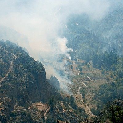
At 8 p.m. on Thursday, May 4th, 2000, after months of planning, fire boss Mike Powell ignited a routine prescribed fire at the Bandelier National Monument just outside of Los Alamos, New Mexico. The burn was intended to reduce hazardous fuel (like dead trees and accumulated brush) in the Upper Frijoles Creek drainage area on the eastern rim of the Jemez Mountains. Initially it went as expected, but…
 A prescribed burn In Frijoles Canyon with the historic Tyuonyi Village pictured in the valley below.Credit: Sally King, NPS
 -
02
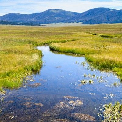
Land Use and Land Cover Change
Pam Anderson and her colleagues at the Minnesota Pollution Control Agency’s Lakes and Streams Monitoring Unit have an unusually big job. Popularly known as the Land of 10,000 Lakes and home to more than 12,000 of them, Minnesota has vast water resources, and Anderson and her colleagues are responsible for monitoring, managing, and protecting all of them. It would be an impossible task if not for satellite data.
 The Minnesota Pollution Control Agency monitors waterways such as Wolf Creek in Banning State Park so that drinking water remains clean for people downstream.
 -
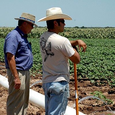 Many western farmers rely on irrigation.Credit: Robert Burns, USDA
 -
04
Food
From George Washington to Abraham Lincoln, early U.S. presidents struggled to determine the value and extent of U.S. agriculture—then the country’s primary economic engine. Despite Washington’s best efforts, the U.S. did not have an annual agricultural survey until Abraham Lincoln established the Department of Agriculture in 1862.
 US farmers produce about $100 billion in crops every year making food more affordable in the US than in any other developed country.Credit:Natalie Maynor
 -
05
Ecosystems
Standing at the foot of a mountain inside Sheepshead Recreation Area just outside of Butte, Montana, Sue Cummings remembers the day she married her husband 25 years ago. She recalls her casual off-white dress and the deep green of the forest. The smell of pines still brings her back to that day.
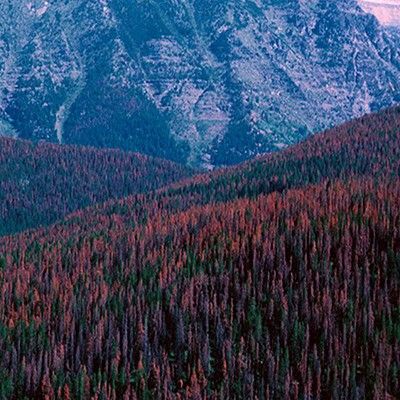 From the sky, areas that are infested by the mountain pine beetle appear red compared to the bright green areas that are healthy forest and not infested.Credit: William M. Ciesla, Forest Health Management International
 -
 Recreation is one of many uses for forest landscapes.
 -
07
Disasters
Year after year, somewhere on Earth, natural or manmade disasters cause loss of life and widespread destruction, frequently spawning refugee situations. Though the risk of a disaster is low in any one particular place, earthquakes, volcanoes, floods, fires, landslides, oil spills, and hurricanes—when considered together on a global scale—regularly menace people, property, and natural resources.
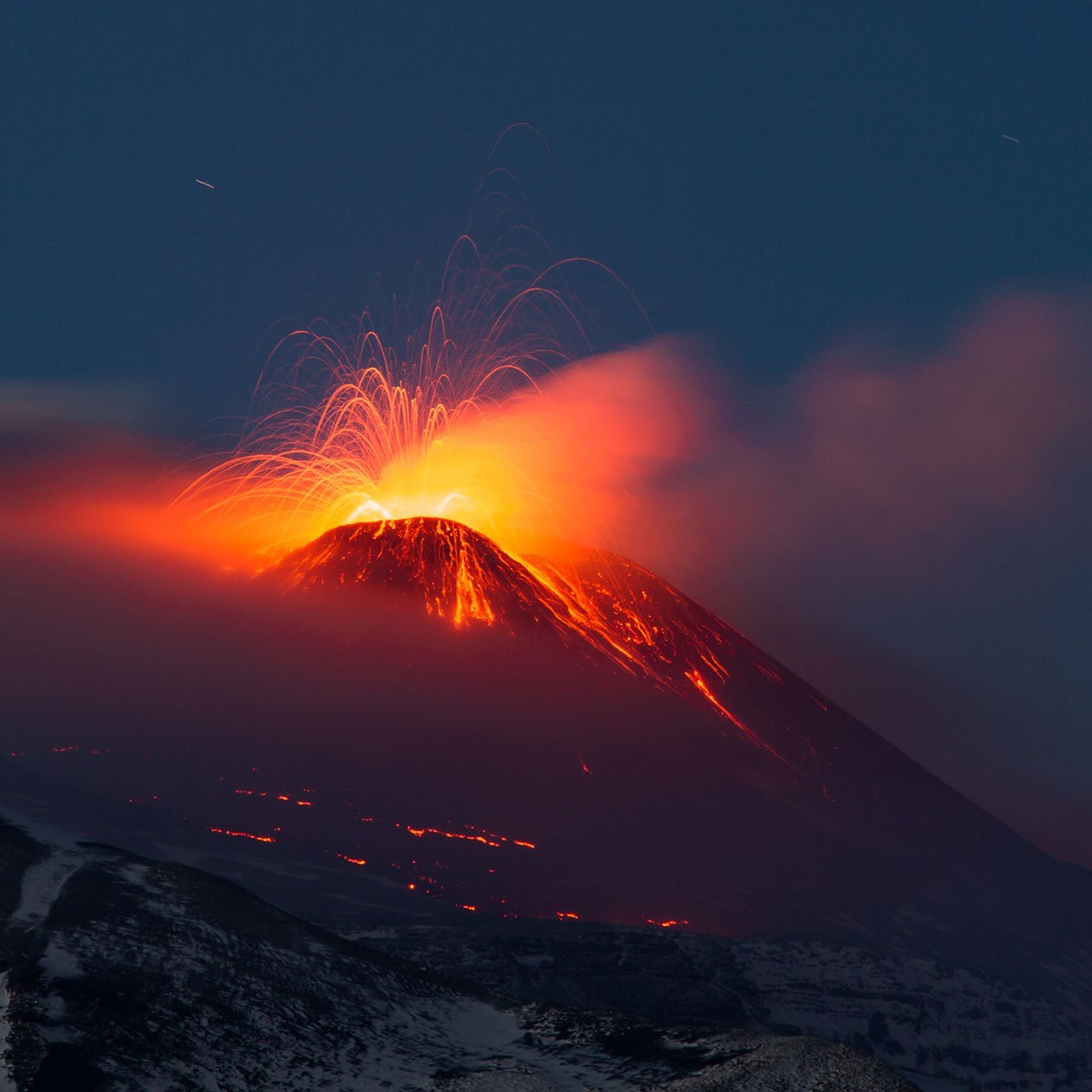 A long exposure photograph taken during a 2013 eruption of Sicily’s Mount Etna. A July 2001 eruption of Mount Etna triggered the first Charter call for a volcano emergency.