






























NASA Heads to the ‘City of Trees’ to Test New Tools for Observing Wildfires
by Gage Taylor, NASA’s Earth Science Technology Office
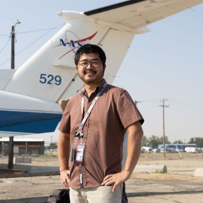
Smoke from wildfires in nearby Oregon settles over the runway outside of Hangar 6. It’s 10:00 a.m. here in Boise, Idaho, and Yuki Maruyama has been up for the past six hours. Maruyama is an electrical engineer at NASA’s Jet Propulsion Laboratory in Southern California and, with his colleagues Roger Chao and Alex Soibel, he’s preparing PIRS (Pyro-atmosphere Infrared Sounder) to fly for the first time aboard NASA’s King Air B200 aircraft.
As a program analyst with NASA’s Earth Science Technology Office, which manages the FireSense Technology Program, I’ll spend most of the campaign observing and taking notes for reports to stakeholders at NASA Headquarters in Washington and beyond. It’s my first time in the field, and I’m thrilled to be on hand to see some of NASA’s best engineers prototype new technology in real time.
About once a year, FireSense goes into the field to test the newest instruments that could help with wildland fire management. Last year, the team spent one week testing several sensors by observing prescribed fires at Fort Stewart Army Post in Georgia and Geneva State Forest in southern Alabama. This campaign, which provided researchers with important calibration data, was a crucial step toward turning prototype instruments, like the FireTIRS (Fire Thermal Infrared) imaging system, into operational tools for wildfire management.
This year, the FireSense team spent three weeks working with partners in the government, including the U.S. Wildland Fire Service, to fly the instruments over actual wildfires burning outside Boise and across the Pacific Northwest.
Making an Ongoing Effort to Manage Wildfires
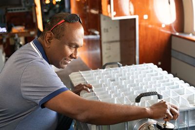
During the current campaign, the team would test five new sensors for observing wildfires: in addition to PIRS, they would fly c-FIRST (Compact Fire Infrared Radiance Spectral Tracker), CFI (Compact Fire Imager), HotSpot, and FireKite. Individually, each of these sensors observes wildfires in a unique way, and together, they capture a diverse collection of data the team’s partners could use when making difficult decisions in the field.
Working with the Department of War, the team would also fly two proven instruments, AVIRIS-3 (Airborne Visible/Infrared Imaging Spectrometer) and G-LiHT (Goddard’s LiDAR, Hyperspectral, and Thermal Imager) to characterize fuel conditions such as vegetation type and moisture content within military bases in the southwest. Coordinated by Clayton Elder, a research scientist at NASA’s Ames Research Center and co-science lead for the campaign, this work could help prevent wildfire ignitions during training exercises.
Why Operate Out of Boise?
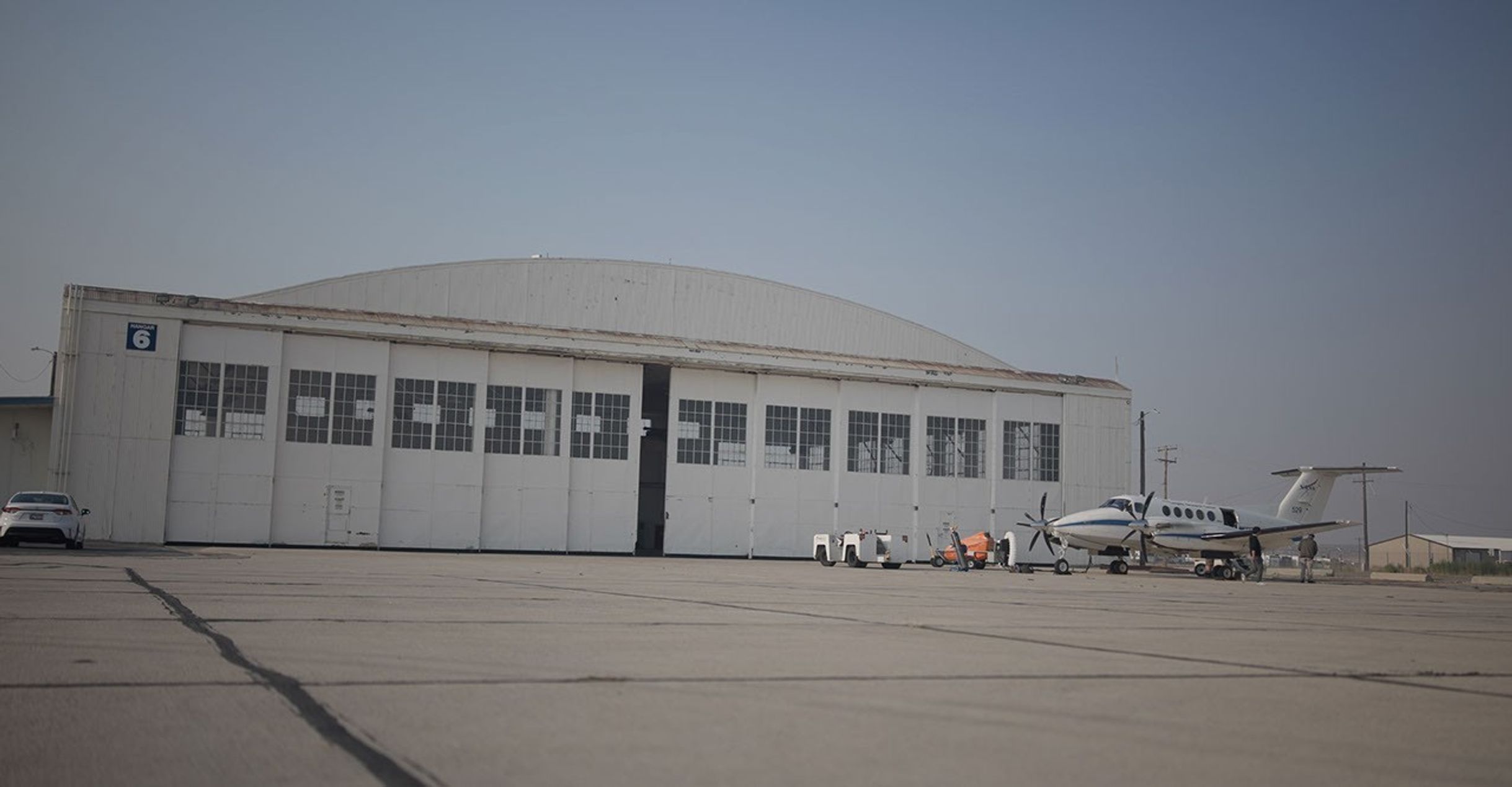
The FireSense team chose to base the campaign out of Boise for two reasons. First, the city is in the heart of wildfire country. From their berths at a fixed-base operator just outside Boise’s main airport, the Gulfstream-III and King Air B200 aircraft are situated within flight range of dozens of different wildfires.
Second, and perhaps more importantly, Boise is home to the National Interagency Fire Center (NIFC), which coordinates firefighting efforts across the country. By testing their tools in Boise, the science team were able to strengthen their relationships with government partners who fight fires, including the U.S. Forest Service, the National Weather Service, and the Wildland Fire Service. “NASA is not an operational fire agency, so our relationships with our partners are very important,” said Jennifer Fowler, a former firefighter and science integration manager at FireSense.
PIRS: Observing Fire Weather with a Toaster-Sized Tool
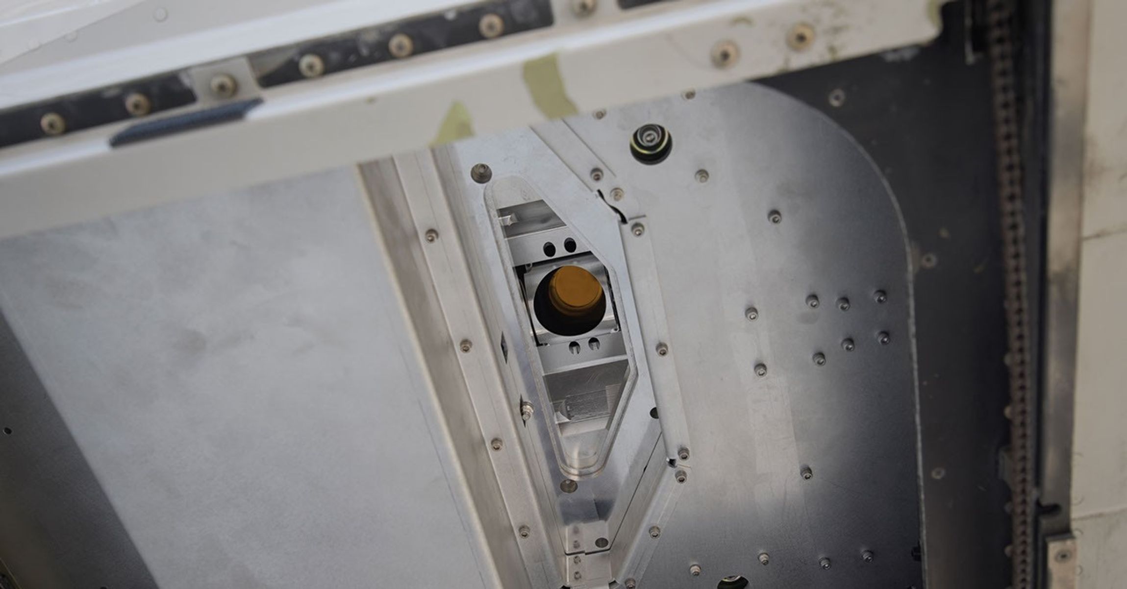
Throughout the campaign, Maruyama, Chao, and Soibel arrive at Hangar 6 early to work on PIRS. Developed by a team led by Sun Wong, a research scientist at JPL, this novel instrument measures trace gases and heat emitted by wildfires in 3D, information that could help improve forecasts of fire weather, such as the pyrocumulonimbus clouds that can billow up as a result of high heat and may lead to ignition of new fires.
An instrument that’s uniquely sensitive to heat needs to remain remarkably cool. It takes the instrument team at least four hours to bring PIRS down to an optimum operating temperature of about minus 99 degrees Fahrenheit. The team also takes the time to seal the sensor within a vacuum to protect the data from contamination.
While the PIRS team finishes preparing to fly the sensor aboard the B200, the plane’s pilots, Taylor Thorson and Matt Elder, finalize their flight plan with Risaku Toda, the JPL instrument operator who will run PIRS during its first flight.
After the flight briefing, Daniel Hodkinson, who works field operations for NASA’s Biosphere Office at Goddard Space Flight Center drives Toda, Thorson, and Elder across the tarmac to their plane. Hodkinson, a logistics miracle worker who once built a NASA science base in the Amazon, assists FireSense operations in tandem with Jaden Ta, who leads the NASA Ames Earth Science Project Office (ESPO) team in Boise and pulls twelve-hour days making sure the pilots, scientists, and engineers have the tools they need to do their jobs.
Taking to the Skies, then Space
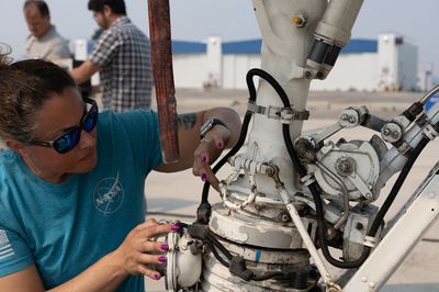
When they arrive at Hangar 6, the PIRS team has nearly finished prepping their instrument. Toda settles into his seat and helps with the last few tasks while Elisa Warden, the ground crew chief, and her team inspect the B200 one last time. They make sure all access panels are secure, ensure there’s no wear on control rods or cables, and check for leaks.
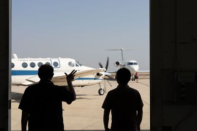
At 11:32 a.m., the B200 lifts off the runway and banks west. Over the next three weeks, the team will fly PIRS over as many active fires and calibration targets as possible. Ultimately, PIRS will be a space-based instrument; any problem discovered here on Earth will lead to adaptations that will make it more reliable in the rigors of space.
Coordinating, Collaborating, and Calibrating
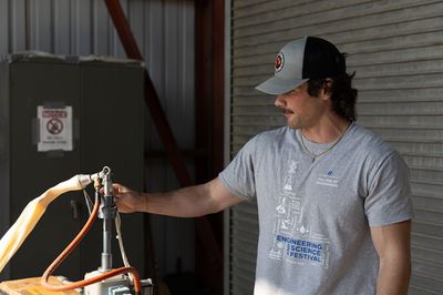
Coordinating with meteorologists at the National Weather Service, the team will fly the B200 over a weather balloon and use its data to calibrate the data gathered by PIRS. They’ll then turn to the northeast and make two passes to collect data over the Claremont Fire.
Training the sensors by observing wildfires better prepares them for real-world conditions. Whereas prescribed fires like the ones studied during the Fort Stewart campaign operate within explicit boundaries and typically have a relatively stable heat output, actual wildfires are, by definition, random. They burn at a variety of temperatures, consume a variety of fuel, and move across a landscape along paths that are difficult to forecast.
“Prescribed fires typically have an ecological function, but wildfires are truly wild. The temperatures can be far greater, the behavior is erratic,” said Evan Ellicot, a geospatial scientist at the University of Maryland, College Park, and co-science lead for the 2026 FireSense Technology Campaign.
What strikes me most as the team begins this technology demonstration mission is the orchestra of expertise it takes to keep a campaign running. A scientist with a PhD in electrical engineering may have the experience to build a sensor, but they’ll need a seasoned pilot accustomed to flying scientific sensors to test it. And this pilot, in turn, will need a meteorologist who knows how wind conditions might make some wildfires more suitable for observation than others, in order to help create an ideal flight path. In short, for every research goal set forth by a scientist, there is an engineer, pilot, or other team member, each of whom is part of a process that demands the most of some of NASA’s best professionals.
There’s still work to be done as the FireSense team prepares these new instruments for operational use. But as the instruments they fly are proven and, in some cases, sent into space, extraordinary human team effort—as much as rocket fuel—will be responsible for getting them there.
